File:Iran location map.svg

Size of this PNG preview of this SVG file: 672 × 600 pixels. Ither resolutions: 269 × 240 pixels | 538 × 480 pixels | 861 × 768 pixels | 1,147 × 1,024 pixels | 2,295 × 2,048 pixels | 1,200 × 1,071 pixels.
Oreeginal file (SVG file, nominallie 1,200 × 1,071 pixels, file size: 299 KB)
Ootline
| Descreeption |
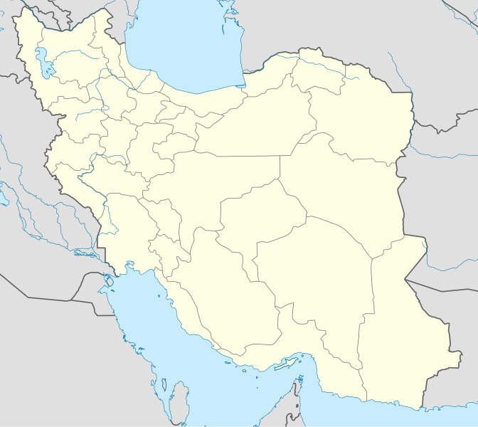
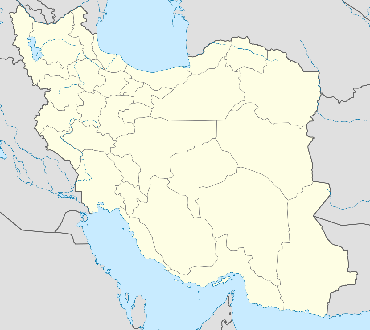
English: Location map of Iran.
Equirectangular projection. Stretched by 118.0%. Geographic limits of the map: * N: 40.0° N * S: 24.5° N * W: 43.5° E * E: 64.0° EMade with Natural Earth. Free vector and raster map data @ naturalearthdata.com. |
| Date | |
| Soorce | Ain wirk |
| Author | Uwe Dedering |
| Other versions |
Derivative works of this file:
|
| SVG genesis | This W3C-invalid map was created with Adobe Illustrator, and with Inkscape. |

Licensin
I, the copyright holder of this work, hereby publish it under the following licenses:
This file is licensed unner the Creative Commons Attribution-Share Alike 3.0 Unported license.
- Ye are free:
- tae share – tae copy, distribute an transmit the wirk
- tae remix – tae adapt the wirk
- Unner the follaein condeetions:
- attribution – Ye must attribute the wirk in the manner specified bi the author or licensor (but nae in ony way that suggests that thay endorse ye or yer uise o the wirk).
- share alik – If ye alter, transform, or big upon this wirk, ye mey distribute the resultin wirk anly unner the same or seemilar license tae this ane.

|
Permission is grantit tae copy, distribute an/or modify this document unner the terms o the GNU Free Documentation License, Version 1.2 or ony later version published bi the Free Software Foundation; wi no Invariant Sections, no Front-Cover Texts, an no Back-Cover Texts. A copy o the license is includit in the section enteetled GNU Free Documentation License. |
Ye mey select the license o yer choice.
File history
Clap oan ae date/time fer tae see the file aes it kithed at that time.
| Date/Time | Thummnail | Dimensions | Uiser | Comment | |
|---|---|---|---|---|---|
| current | 07:59, 22 October 2013 | | 1,200 × 1,071 (299 KB) | NordNordWest | Reverted to version as of 17:55, 15 April 2013; no reason for change given |
| 13:44, 21 October 2013 |  | 1,200 × 1,071 (640 KB) | Ekivalan | Reverted to version as of 17:38, 12 April 2013 | |
| 13:43, 21 October 2013 |  | 1,200 × 1,071 (640 KB) | Ekivalan | Reverted to version as of 17:38, 12 April 2013 | |
| 17:55, 15 Apryle 2013 |  | 1,200 × 1,071 (299 KB) | NordNordWest | according to http://images.persianblog.ir/516041_B0b76ypr.jpg + Tabas -> South Khorasan province | |
| 17:40, 12 Apryle 2013 |  | 1,200 × 1,071 (640 KB) | Yamaha5 | Reverted to version as of 20:08, 11 July 2010 | |
| 17:38, 12 Apryle 2013 |  | 1,200 × 1,071 (640 KB) | Yamaha5 | Reverted to version as of 20:08, 11 July 2010 in all maps khorasan is like past! | |
| 11:30, 17 Mairch 2013 |  | 1,200 × 1,071 (294 KB) | NordNordWest | upd | |
| 20:08, 11 Julie 2010 |  | 1,200 × 1,071 (640 KB) | Uwe Dedering | 31. province Alborz | |
| 17:44, 18 Februar 2010 |  | 1,200 × 1,071 (705 KB) | Uwe Dedering | Bahrain above water, no disputed countries | |
| 13:00, 18 Februar 2010 |  | 1,200 × 1,071 (709 KB) | Uwe Dedering | {{Information |Description={{en|1=Location map of Iran. Equirectangular projection. Strechted by 118.0%. Geographic limits of the map: * N: 40.0° N * S: 24.5° N * W: 43.5° E * E: 64.0° E Made with Natural Earth. Free vector and raster map data @ |
Eimage airtins
The follaein pages airts tae this image:
- Abadan
- Abrud, Sabzevar
- Ahvaz
- Aliabad-e Bala, Razavi Khorasan
- Amol
- Aradan, Iran
- Arak, Iran
- Ardabil
- Asadabad, Sabzevar
- Bahmanabad, Sabzevar
- Baqerabad, Sabzevar
- Beng, Razavi Khorasan
- Birjand
- Bizeh
- Bohangar
- Bojnord
- Borughan
- Bukan
- Bushehr
- Chesham, Iran
- Chubin, Razavi Khorasan
- Davarzan
- Deh-e Now, Sheshtomad
- Deh Now, Davarzan
- Deh Now, Rabor
- Deh Now, Rivand
- Deh Now-e Kherabeh
- Eyvanki
- Garmsar
- Ghaniabad, Razavi Khorasan
- Gorgan
- Hamidiya
- Hukani-ye Sofla
- Isfahan
- Kahak, Qom
- Kahak, Razavi Khorasan
- Kahak, Semnan
- Kalateh-ye Habib, Razavi Khorasan
- Kalateh-ye Mazinan
- Kamiz
- Karaj
- Kermanshah
- Khomein
- Khosrowabad, Kermanshah
- Khosrowabad, Sabzevar
- Khusf
- Kohanabad
- Kushk-e Bagh
- Mahabad & Piranshahr
- Marvdasht
- Mashhad
- Mazinan
- Mehr, Razavi Khorasan
- Moqiseh
- Mur, Razavi Khorasan
- Nahaldan
- Nishapur
- Qaem Shahr
- Qom
- Rabor
- Rasht
- Rey, Iran
- Rivand, Sabzevar
- Rud Ab
- Sabzevar
- Sad Kharu
- Sanandaj
- Saqqez
- Sari, Iran
- Saruq, Razavi Khorasan
- Semnan, Iran
- Seviz
- Shadmehr
- Shahr-e Ain
- Shahrabad, Sabzevar
- Shams-e Bala
- Sheshtomad
- Shiraz
- Sivjan
- Tajabad, Razavi Khorasan
- Tajag
- Taqab, Sooth Khorasan
- Tazar
- Tehran
- Tula, Iran
- Tuti, Iran
- Urmia
- Yazd
- Zard Kuhi
- Zarkesh, Sooth Khorasan
Global file uisage
The follaein ither wikis uise this file:
- Uisage on af.wikipedia.org
- Uisage on als.wikipedia.org
- Uisage on an.wikipedia.org
- Uisage on ar.wikipedia.org
- محمد بن إسماعيل البخاري
- طهران
- صحيح مسلم
- محافظات إيران
- فخر الدين الرازي
- كأس آسيا 1968
- كأس آسيا 1976
- مسلم بن الحجاج
- قالب:خريطة مواقع إیران
- مشهد
- زلزال بم 2003
- تفجيرات زاهدان 2010
- زلزال طبس 1978
- بطولة آسيا للناشئين تحت 16 عاما 2012
- قائمة المفكرين المسيحيين في العلم
- مرتضى الأنصاري
- زلزال تبريز 2012
- شعيطة (رامشير)
View mair global usage o this file.