File:Tanzania map-en.svg

Size of this PNG preview of this SVG file: 596 × 599 pixels. Ither resolutions: 239 × 240 pixels | 477 × 480 pixels | 764 × 768 pixels | 1,019 × 1,024 pixels | 2,037 × 2,048 pixels | 2,064 × 2,075 pixels.
Oreeginal file (SVG file, nominallie 2,064 × 2,075 pixels, file size: 3.15 MB)
| Descreeption |
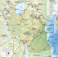
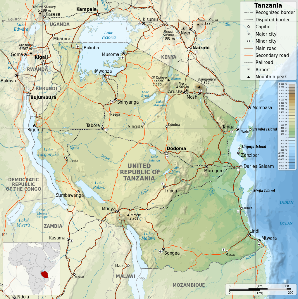
English: Map of Tanzania in English. Equirectangular projection. 1° N, 28° W, 42° E, -13° S. |
||
| Date | |||
| Soorce | |||
| Author |
|
||
| Permission (Reuisin this file) |
I, the copyright holder of this work, hereby publish it under the following licenses:
This file is licensed under the Creative Commons Attribution-Share Alike 4.0 International, 3.0 Unported, 2.5 Generic, 2.0 Generic and 1.0 Generic license.
Ye mey select the license o yer choice. |
||
| Other versions |
[]
|


File history
Clap oan ae date/time fer tae see the file aes it kithed at that time.
| Date/Time | Thummnail | Dimensions | Uiser | Comment | |
|---|---|---|---|---|---|
| current | 18:06, 8 Julie 2014 | | 2,064 × 2,075 (3.15 MB) | Calliopejen1 | fix typos |
| 17:48, 8 Julie 2014 |  | 2,064 × 2,075 (3.15 MB) | Calliopejen1 | {{Information |Description={{en|1=Map of Tanzania in English. Equirectangular projection. 1° N, 28° W, 42° E, -13° S.}} |Source=*Tanzania_map-fr.svg |Date={{date|2014|7|8}} |Author=*[[:File:Tanzania_m... |
Eimage airtins
The follaein pages airts tae this image:
Global file uisage
The follaein ither wikis uise this file:
- Uisage on bh.wikipedia.org
- Uisage on bn.wikipedia.org
- Uisage on ca.wikipedia.org
- Uisage on en.wikipedia.org
- Uisage on hu.wikipedia.org
- Uisage on hu.wiktionary.org
- Uisage on mdf.wikipedia.org
- Uisage on ml.wikipedia.org
- Uisage on mn.wikipedia.org
- Uisage on pap.wikipedia.org
- Uisage on sl.wikipedia.org
- Uisage on www.wikidata.org