File:Outline Map of Ivanovo Oblast.svg

Size of this PNG preview of this SVG file: 512 × 383 pixels. Ither resolutions: 320 × 239 pixels | 640 × 479 pixels | 1,024 × 766 pixels | 1,280 × 958 pixels | 2,560 × 1,915 pixels.
Oreeginal file (SVG file, nominallie 512 × 383 pixels, file size: 336 KB)
Ootline
| Descreeption |
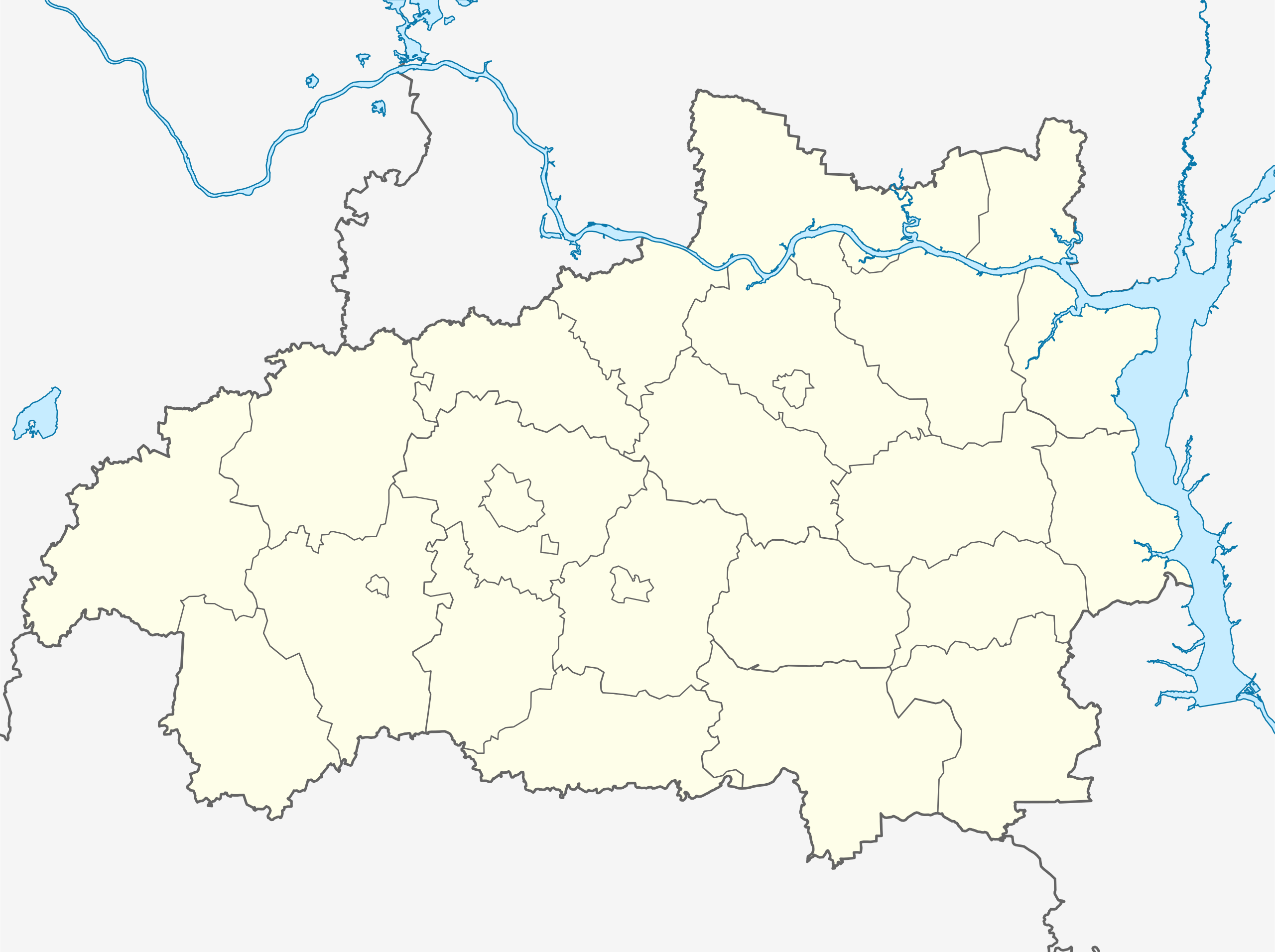
Русский: Позиционная карта Ивановской области
|top = 57.9 |bottom = 56.2 |left = 39.3 |right = 43.5 |
| Date | |
| Soorce |
Ain wirk This W3C-unspecified vector image was created with Inkscape . |
| Author | Виктор В |
| Other versions | ненорщшеокплджонршщ |
Licensin
This file is licensed under the Creative Commons Attribution-Share Alike 2.0 Generic license.
- Ye are free:
- tae share – tae copy, distribute an transmit the wirk
- tae remix – tae adapt the wirk
- Unner the follaein condeetions:
- attribution – Ye must attribute the wirk in the manner specified bi the author or licensor (but nae in ony way that suggests that thay endorse ye or yer uise o the wirk).
- share alik – If ye alter, transform, or big upon this wirk, ye mey distribute the resultin wirk anly unner the same or seemilar license tae this ane.
File history
Clap oan ae date/time fer tae see the file aes it kithed at that time.
| Date/Time | Thummnail | Dimensions | Uiser | Comment | |
|---|---|---|---|---|---|
| current | 16:01, 26 October 2015 | | 512 × 383 (336 KB) | Stasyan117 | e,hfk gfkjxre |
| 15:09, 26 October 2015 |  | 512 × 383 (342 KB) | Stasyan117 | = | |
| 06:38, 5 September 2010 |  | 512 × 383 (342 KB) | Виктор В | == {{int:filedesc}} == {{Information |Description={{ru|1=Позиционная карта Ивановской области *Проекция — равноугольная. *Стандартная параллель — 57°12′00″с.ш. *Пара� |
Eimage airtins
The follaein pages airts tae this image:
Global file uisage
The follaein ither wikis uise this file:
- Uisage on af.wikipedia.org
- Uisage on ar.wikipedia.org
- Uisage on azb.wikipedia.org
- Uisage on ba.wikipedia.org
- Uisage on be.wikipedia.org
- Плёс (горад)
- Южа
- Раднікі (горад)
- Поразава (Іванаўская вобласць)
- Палех
- Іванава (Расія)
- Вічуга
- Заволжск
- Шуя
- Гаўрылаў Пасад
- Прыволжск
- Навалакі
- Пучаж
- Юр’евец
- Шаблон:На карце/Расія Іванаўская вобласць
- Старая Вічуга
- Нерль (Іванаўская вобласць)
- Верхні Ландзех
- Ільінскае-Хаванскае
- Каменка (Іванаўская вобласць)
- Колабава (Шуйскі раён)
- Лежнева (Іванаўская вобласць)
- Лух (пасёлак гарадскога тыпу)
- Савіна (рабочы пасёлак, Савінскі раён)
- Пятроўскі (Гаўрылава-Пасадскі раён)
- Песцякі
- Новапісцова
- Uisage on bg.wikipedia.org
- Uisage on ceb.wikipedia.org
- Uisage on ce.wikipedia.org
View mair global usage o this file.