File:Indonesia location map.svg

Size of this PNG preview of this SVG file: 800 × 307 pixels. Ither resolutions: 320 × 123 pixels | 640 × 245 pixels | 1,024 × 393 pixels | 1,280 × 491 pixels | 2,560 × 981 pixels | 1,200 × 460 pixels.
Oreeginal file (SVG file, nominallie 1,200 × 460 pixels, file size: 739 KB)
Ootline
| Descreeption |
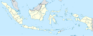
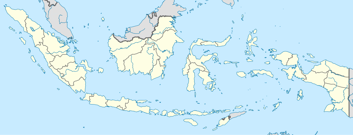
English: Location map of Indonesia.
Equirectangular projection. Stretched by 100.0%. Geographic limits of the map:
|
| Date | |
| Soorce | Ain wirk |
| Author | Uwe Dedering |
| Other versions |
|
Licensin
I, the copyright holder of this work, hereby publish it under the following licenses:
This file is licensed unner the Creative Commons Attribution-Share Alike 3.0 Unported license.
- Ye are free:
- tae share – tae copy, distribute an transmit the wirk
- tae remix – tae adapt the wirk
- Unner the follaein condeetions:
- attribution – Ye must attribute the wirk in the manner specified bi the author or licensor (but nae in ony way that suggests that thay endorse ye or yer uise o the wirk).
- share alik – If ye alter, transform, or big upon this wirk, ye mey distribute the resultin wirk anly unner the same or seemilar license tae this ane.

|
Permission is grantit tae copy, distribute an/or modify this document unner the terms o the GNU Free Documentation License, Version 1.2 or ony later version published bi the Free Software Foundation; wi no Invariant Sections, no Front-Cover Texts, an no Back-Cover Texts. A copy o the license is includit in the section enteetled GNU Free Documentation License. |
Ye mey select the license o yer choice.
File history
Clap oan ae date/time fer tae see the file aes it kithed at that time.
| Date/Time | Thummnail | Dimensions | Uiser | Comment | |
|---|---|---|---|---|---|
| current | 15:54, 4 December 2022 | 1,200 × 460 (739 KB) | NordNordWest | upd | |
| 20:17, 2 Julie 2022 | 1,200 × 460 (910 KB) | NordNordWest | upd | ||
| 20:21, 26 Juin 2013 | 1,200 × 460 (854 KB) | NordNordWest | upd | ||
| 12:58, 18 Februar 2010 | 1,200 × 460 (1.2 MB) | Uwe Dedering | {{Information |Description={{en|1=Location map of Indonesia. Equirectangular projection. Strechted by 100.0%. Geographic limits of the map: * N: 6.5° N * S: -11.5° N * W: 94.5° E * E: 141.5° E Made with Natural Earth. Free vector and raster map |
Eimage airtins
The follaein pages airts tae this image:
Global file uisage
The follaein ither wikis uise this file:
- Uisage on ace.wikipedia.org
- Uisage on af.wikipedia.org
- Uisage on als.wikipedia.org
- Uisage on an.wikipedia.org
- Uisage on ar.wikipedia.org
- Uisage on ast.wikipedia.org
View mair global usage o this file.