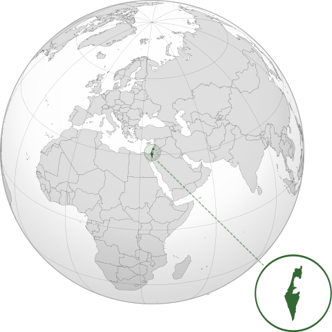
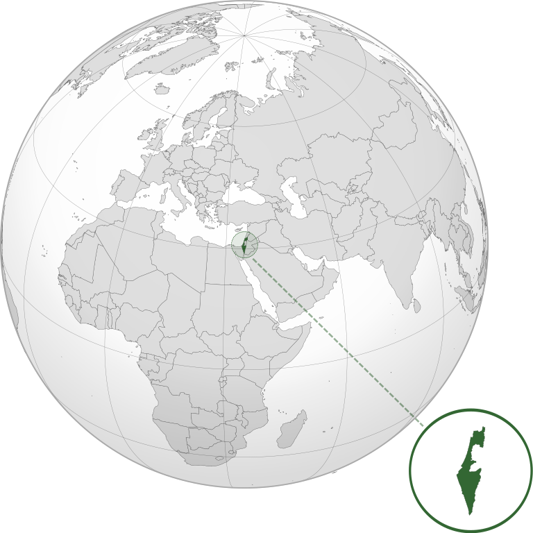
File:ISR orthographic.svg

Size of this PNG preview of this SVG file: 600 × 600 pixels. Ither resolutions: 240 × 240 pixels | 480 × 480 pixels | 768 × 768 pixels | 1,024 × 1,024 pixels | 2,048 × 2,048 pixels.
Oreeginal file (SVG file, nominallie 600 × 600 pixels, file size: 1.39 MB)
Ootline
| Descreeption | |
| Date | |
| Soorce |
Ain wirk with Natural Earth Data This W3C-unspecified vector image was created with Inkscape . |
| Author | Addicted04 |
Licensin
I, the copyright holder of this work, hereby publish it under the following license:
This file is licensed unner the Creative Commons Attribution-Share Alike 3.0 Unported license.
- Ye are free:
- tae share – tae copy, distribute an transmit the wirk
- tae remix – tae adapt the wirk
- Unner the follaein condeetions:
- attribution – Ye must attribute the wirk in the manner specified bi the author or licensor (but nae in ony way that suggests that thay endorse ye or yer uise o the wirk).
- share alik – If ye alter, transform, or big upon this wirk, ye mey distribute the resultin wirk anly unner the same or seemilar license tae this ane.
File history
Clap oan ae date/time fer tae see the file aes it kithed at that time.
| Date/Time | Thummnail | Dimensions | Uiser | Comment | |
|---|---|---|---|---|---|
| current | 03:46, 17 Mairch 2022 | | 600 × 600 (1.39 MB) | Chaddy | Reverted to version as of 06:27, 24 March 2019 (UTC), there is already another map for the disputed borders: File:Israel (orthographic projection) with disputed territories.svg |
| 09:48, 10 Mairch 2022 |  | 600 × 600 (1.4 MB) | Beshogur | Reverted to version as of 06:25, 24 March 2019 (UTC) | |
| 06:27, 24 Mairch 2019 |  | 600 × 600 (1.39 MB) | BlueHypercane761 | Reverted to version as of 22:09, 21 September 2016 (UTC) Self-revert. As legitimate as this revision is, I will split it off into a new image file. | |
| 06:25, 24 Mairch 2019 |  | 600 × 600 (1.4 MB) | BlueHypercane761 | Restoring previous revision temporarily to retrieve image. | |
| 22:09, 21 September 2016 |  | 600 × 600 (1.39 MB) | Nableezy | make a new map, this one is fine | |
| 18:50, 16 September 2016 |  | 600 × 600 (1.4 MB) | Bolter21 | added disputed territories | |
| 03:06, 8 Julie 2012 |  | 600 × 600 (1.39 MB) | Addicted04 | America land | |
| 02:42, 8 Julie 2012 |  | 600 × 600 (1.39 MB) | Addicted04 |
_with_disputed_territories.svg)
Eimage airtins
The follaein pages airts tae this image:
Global file uisage
The follaein ither wikis uise this file:
- Uisage on af.wikipedia.org
- Uisage on am.wikipedia.org
- Uisage on arc.wikipedia.org
- Uisage on av.wikipedia.org
- Uisage on ay.wikipedia.org
- Uisage on azb.wikipedia.org
- Uisage on az.wiktionary.org
- Uisage on ban.wikipedia.org
- Uisage on bbc.wikipedia.org
- Uisage on bcl.wikipedia.org
- Uisage on bg.wikipedia.org
- Uisage on bh.wikipedia.org
- Uisage on bi.wikipedia.org
- Uisage on bn.wikipedia.org
- Uisage on bs.wikipedia.org
- Uisage on bxr.wikipedia.org
- Uisage on cdo.wikipedia.org
- Uisage on ceb.wikipedia.org
- Uisage on chr.wikipedia.org
- Uisage on ckb.wikipedia.org
- Uisage on cs.wikipedia.org
- Uisage on da.wikipedia.org
- Uisage on dty.wikipedia.org
- Uisage on el.wikipedia.org
- Uisage on en.wikipedia.org
- Uisage on en.wikibooks.org
- Uisage on es.wikipedia.org
- Uisage on eu.wikipedia.org
- Uisage on fi.wikipedia.org
- Uisage on fr.wikipedia.org
- Uisage on gn.wikipedia.org
- Uisage on gu.wikipedia.org
- Uisage on gv.wikipedia.org
- Uisage on hak.wikipedia.org
- Uisage on hr.wikipedia.org
- Uisage on hy.wikipedia.org
- Uisage on id.wikipedia.org
- Uisage on ie.wikipedia.org
- Uisage on incubator.wikimedia.org
View mair global usage o this file.