File:Austria Tyrol location map.svg

Size of this PNG preview of this SVG file: 800 × 546 pixels. Ither resolutions: 320 × 218 pixels | 640 × 437 pixels | 1,024 × 699 pixels | 1,280 × 873 pixels | 2,560 × 1,746 pixels | 1,504 × 1,026 pixels.
Oreeginal file (SVG file, nominallie 1,504 × 1,026 pixels, file size: 2.05 MB)
Ootline
| Descreeption |
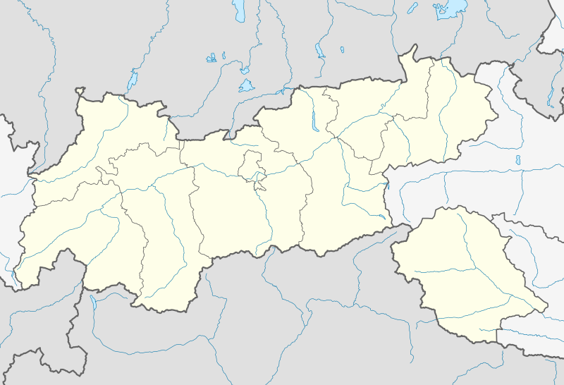
Quadratische Plattkarte. Geographische Begrenzung der Karte:
Equirectangular projection. Geographic limits of the map:
|
||
| Date | |||
| Soorce |
Ain wirk, using
|
||
| Author | NordNordWest | ||
| Other versions |
|
||
| SVG genesis | This map was created with unknown tool.
|


Licensin
| This work contains information from OpenStreetMap, which is made available under the Open Database License (ODbL).
The ODbL does not require any particular license for maps produced from ODbL data. Prior to 1 August 2020, map tiles produced by the OpenStreetMap Foundation were licensed under the CC-BY-SA-2.0 license. Maps produced by other people may be subject to other licences. |
I, the copyright holder of this work, hereby publish it under the following license:
This file is licensed under the Creative Commons Attribution-Share Alike 2.0 Generic license.
- Ye are free:
- tae share – tae copy, distribute an transmit the wirk
- tae remix – tae adapt the wirk
- Unner the follaein condeetions:
- attribution – Ye must attribute the wirk in the manner specified bi the author or licensor (but nae in ony way that suggests that thay endorse ye or yer uise o the wirk).
- share alik – If ye alter, transform, or big upon this wirk, ye mey distribute the resultin wirk anly unner the same or seemilar license tae this ane.
File history
Clap oan ae date/time fer tae see the file aes it kithed at that time.
| Date/Time | Thummnail | Dimensions | Uiser | Comment | |
|---|---|---|---|---|---|
| current | 19:01, 27 November 2013 | | 1,504 × 1,026 (2.05 MB) | NordNordWest | c |
| 22:53, 26 November 2013 |  | 1,504 × 1,026 (2.04 MB) | NordNordWest | == {{int:filedesc}} == {{Information |Description= {{de|Positionskarte von Tirol, Österreich}} Quadratische Plattkarte. Geographische Begrenzung der Karte: * N: 47.9037638° N * S: 46.5040638° N * W: 10.0237916° O *... |
Eimage airtins
The follaein pages airts tae this image:
Global file uisage
The follaein ither wikis uise this file:
- Uisage on als.wikipedia.org
- Uisage on an.wikipedia.org
- Uisage on ar.wikipedia.org
- Uisage on az.wikipedia.org
- Uisage on bg.wikipedia.org
- Uisage on cv.wikipedia.org
- Uisage on de.wikipedia.org
- Alpenzoo Innsbruck
- Stephansbrücke (Brennerstraße)
- Tivoli Stadion Tirol
- MARTHA-Dörfer
- Tischofer Höhle
- Europabrücke (Brenner Autobahn)
- Flughafen Innsbruck
- Pontlatzer Brücke
- Großglockner Resort Kals–Matrei
- Wildbichler Brücke
- Hundalm-Eishöhle
- Hintertuxer Gletscher
- Tivoli-Stadion (Innsbruck)
- Olympiahalle Innsbruck
- Hohe Brücke (St. Georgenberg)
- Flugplatz Kufstein-Langkampfen
- Kajetansbrücke
- Flugplatz Lienz-Nikolsdorf
- Wikipedia:Kartenwerkstatt/Positionskarten/Europa
- Dolomitenstadion
- Vorlage:Positionskarte Österreich Tirol
- Diskussion:Zugspitze/Archiv
- Bezirkskrankenhaus Lienz
- Olympia Eiskanal Igls
- Kaufhaus Tyrol
- Cyta Shoppingwelt
- Landeskrankenhaus Innsbruck
- Aqua Dome
- Zettersfeld
- Raritätenzoo Ebbs
- Flugplatz St. Johann in Tirol
- Sillpark
- Österreichische Fußballmeisterschaft 2012/13
- Tiroler Wasserkraft Arena Innsbruck
- Hängebrücke Holzgau
- Mittelpunkt Tirols
- Österreichische Fußballmeisterschaft 2013/14
- Bahnhof Patsch
- Highline179
- Österreichische Fußballmeisterschaft 2015/16
- Pitztalbrücke
View mair global usage o this file.