File:Vanuatu location map.svg

Size of this PNG preview of this SVG file: 324 × 599 pixels. Ither resolutions: 130 × 240 pixels | 259 × 480 pixels | 415 × 768 pixels | 553 × 1,024 pixels | 1,107 × 2,048 pixels | 625 × 1,156 pixels.
Oreeginal file (SVG file, nominallie 625 × 1,156 pixels, file size: 79 KB)
Ootline
| Camera location | | View this and other nearby images on: OpenStreetMap |
|---|
| Descreeption |
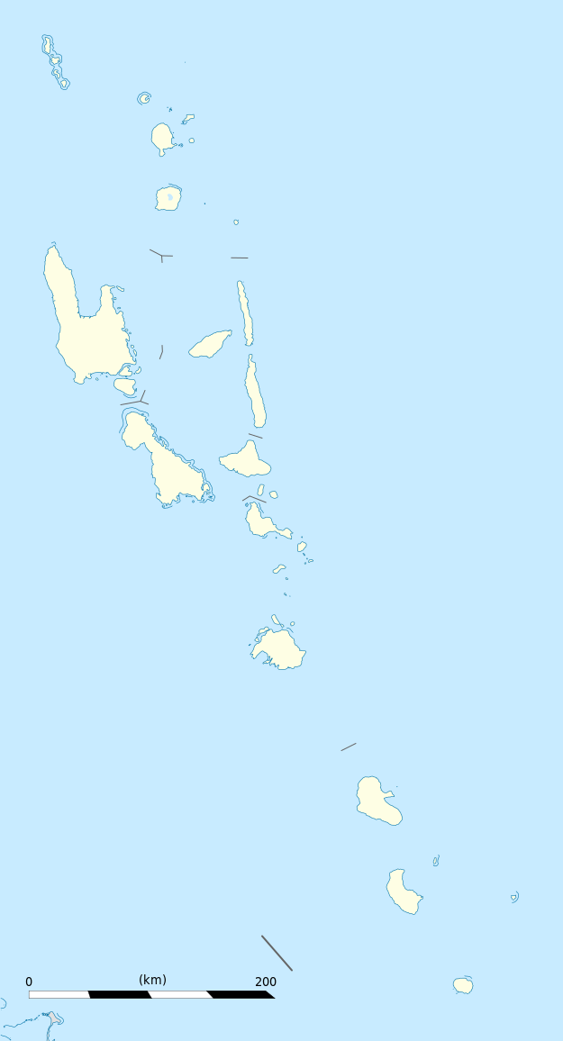
Equirectangular projection, WGS84 datum
Geographic limits of the map:
|
||
| Date | |||
| Soorce |
Ain wirk
|
||
| Author | Eric Gaba (Sting - fr:Sting) | ||
| Permission (Reuisin this file) |
|
||
| Other versions |
|

Licensin
I, the copyright holder of this work, hereby publish it under the following licenses:
This file is licensed unner the Creative Commons Attribution-Share Alike 3.0 Unported license.
- Ye are free:
- tae share – tae copy, distribute an transmit the wirk
- tae remix – tae adapt the wirk
- Unner the follaein condeetions:
- attribution – Ye must attribute the wirk in the manner specified bi the author or licensor (but nae in ony way that suggests that thay endorse ye or yer uise o the wirk).
- share alik – If ye alter, transform, or big upon this wirk, ye mey distribute the resultin wirk anly unner the same or seemilar license tae this ane.

|
Permission is grantit tae copy, distribute an/or modify this document unner the terms o the GNU Free Documentation License, Version 1.2 or ony later version published bi the Free Software Foundation; wi no Invariant Sections, no Front-Cover Texts, an no Back-Cover Texts. A copy o the license is includit in the section enteetled GNU Free Documentation License. |
Ye mey select the license o yer choice.
File history
Clap oan ae date/time fer tae see the file aes it kithed at that time.
| Date/Time | Thummnail | Dimensions | Uiser | Comment | |
|---|---|---|---|---|---|
| current | 19:02, 21 October 2013 | | 625 × 1,156 (79 KB) | TUBS | +provincial seaborders and matching int'l maritime borders |
| 22:12, 21 Januar 2009 |  | 625 × 1,156 (134 KB) | Sting | == Summary == {{Location|16|42|00|S|168|24|00|E|scale:3000000}} <br/> {{Information |Description={{en|Blank administrative map of Vanuatu in Oceania, for geo-location purposes.}} {{fr|Carte administrative vierge de [[:fr:Va |
Eimage airtins
The follaein pages airts tae this image:
Global file uisage
The follaein ither wikis uise this file:
- Uisage on af.wikipedia.org
- Uisage on an.wikipedia.org
- Uisage on ar.wikipedia.org
- Uisage on ast.wikipedia.org
- Puertu Villa
- Módulu:Mapa de llocalización/datos/Vanuatu
- Módulu:Mapa de llocalización/datos/Vanuatu/usu
- Aeropuertu Internacional Bauerfield
- Aeropuertu Internacional de Santo-Pekoa
- Malakula
- Aore
- Luganville (Vanuatu)
- Monte Tabwemasana
- Maewo
- Erromango
- Islla de Pentecostés
- Aneityum
- Vanua Lava
- Islla Epi
- Ambae
- Gaua
- Efate
- Islla Espíritu Santo (Vanuatu)
- Ambrym
- Islla Tanna
- Uisage on az.wikipedia.org
- Uisage on ba.wikipedia.org
- Uisage on be-tarask.wikipedia.org
- Uisage on be.wikipedia.org
- Uisage on bg.wikipedia.org
- Uisage on bn.wikipedia.org
- Uisage on bs.wikipedia.org
- Uisage on ceb.wikipedia.org
View mair global usage o this file.