File:Uk parishes.png
Size o this luikower: 488 × 599 pixels. Ither resolutions: 195 × 240 pixels | 391 × 480 pixels | 626 × 768 pixels | 834 × 1,024 pixels | 1,652 × 2,028 pixels.
Oreeginal file (1,652 × 2,028 pixels, file size: 2.45 MB, MIME type: image/png)
Ootline
| Descreeption |
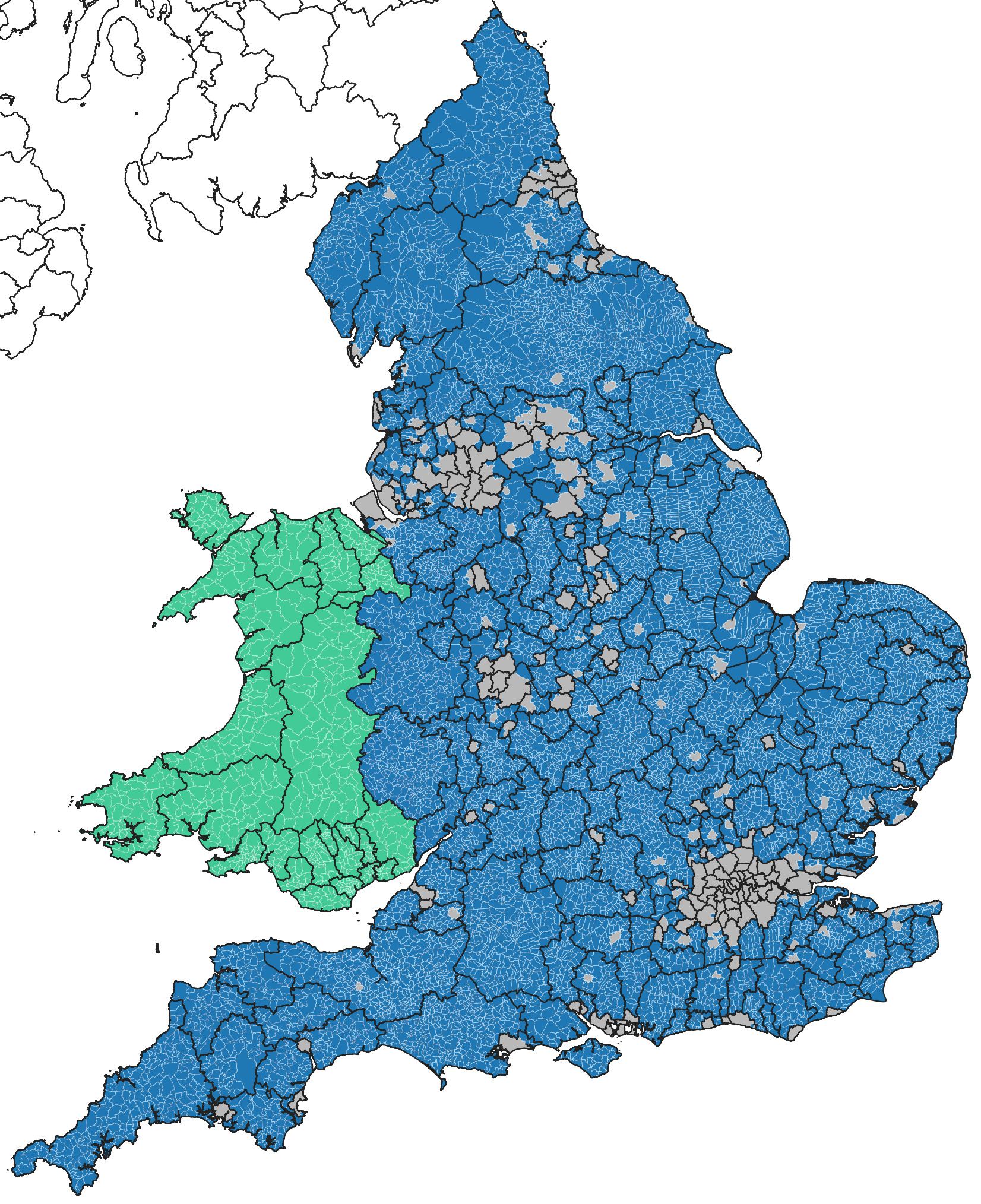
Map of English parishes and Welsh Communities. Contains Ordnance Survey data © Crown Copyright and database right 2010 Maps may be created from Ordnance Survey Opendata and used for any purpose, see: http://www.ordnancesurvey.co.uk/business-and-government/licensing/using-creating-data-with-os-products/os-opendata.html |
| Date | 23 October 2013 (original upload date) |
| Soorce | No machine-readable source provided. Own work assumed (based on copyright claims). |
| Author | No machine-readable author provided. Kjhskj75 assumed (based on copyright claims). |
Licensin
I, the copyright holder of this work, hereby publish it under the following licenses:
This file is licensed unner the Creative Commons Attribution-Share Alike 3.0 Unported license.
- Ye are free:
- tae share – tae copy, distribute an transmit the wirk
- tae remix – tae adapt the wirk
- Unner the follaein condeetions:
- attribution – Ye must attribute the wirk in the manner specified bi the author or licensor (but nae in ony way that suggests that thay endorse ye or yer uise o the wirk).
- share alik – If ye alter, transform, or big upon this wirk, ye mey distribute the resultin wirk anly unner the same or seemilar license tae this ane.

|
Permission is grantit tae copy, distribute an/or modify this document unner the terms o the GNU Free Documentation License, Version 1.2 or ony later version published bi the Free Software Foundation; wi no Invariant Sections, no Front-Cover Texts, an no Back-Cover Texts. A copy o the license is includit in the section enteetled GNU Free Documentation License. |
Ye mey select the license o yer choice.
File history
Clap oan ae date/time fer tae see the file aes it kithed at that time.
| Date/Time | Thummnail | Dimensions | Uiser | Comment | |
|---|---|---|---|---|---|
| current | 22:44, 7 Julie 2023 | | 1,652 × 2,028 (2.45 MB) | Mirrorme22 | Updating out of date map |
| 17:14, 23 October 2013 |  | 2,000 × 2,000 (382 KB) | Kjhskj75 | Map of English parishes and Welsh Communities. Contains Ordnance Survey data © Crown Copyright and database right 2010 Maps may be created from Ordnance Survey Opendata and used for any purpose, see: http://www.ordnancesurvey.co.uk/business-and-gove... |
Eimage airtins
The follaein pages airts tae this image:
Global file uisage
The follaein ither wikis uise this file:
- Uisage on af.wikipedia.org
- Uisage on de.wikipedia.org
- Uisage on en.wikipedia.org
- Uisage on es.wikipedia.org
- Uisage on eu.wikipedia.org
- Uisage on fa.wikipedia.org
- Uisage on fi.wikipedia.org
- Uisage on frr.wikipedia.org
- Uisage on fr.wikipedia.org
- Uisage on nl.wikipedia.org
- Uisage on nn.wikipedia.org
- Uisage on no.wikipedia.org
- Uisage on oc.wikipedia.org
- Uisage on pl.wikipedia.org
- Uisage on pt.wikipedia.org
- Uisage on uk.wikipedia.org
- Uisage on vi.wikipedia.org
- Uisage on zh-min-nan.wikipedia.org