File:USA Virgin Islands location map.svg

Size of this PNG preview of this SVG file: 570 × 599 pixels. Ither resolutions: 228 × 240 pixels | 457 × 480 pixels | 731 × 768 pixels | 974 × 1,024 pixels | 1,949 × 2,048 pixels | 787 × 827 pixels.
Oreeginal file (SVG file, nominallie 787 × 827 pixels, file size: 51 KB)
Ootline
| Descreeption |
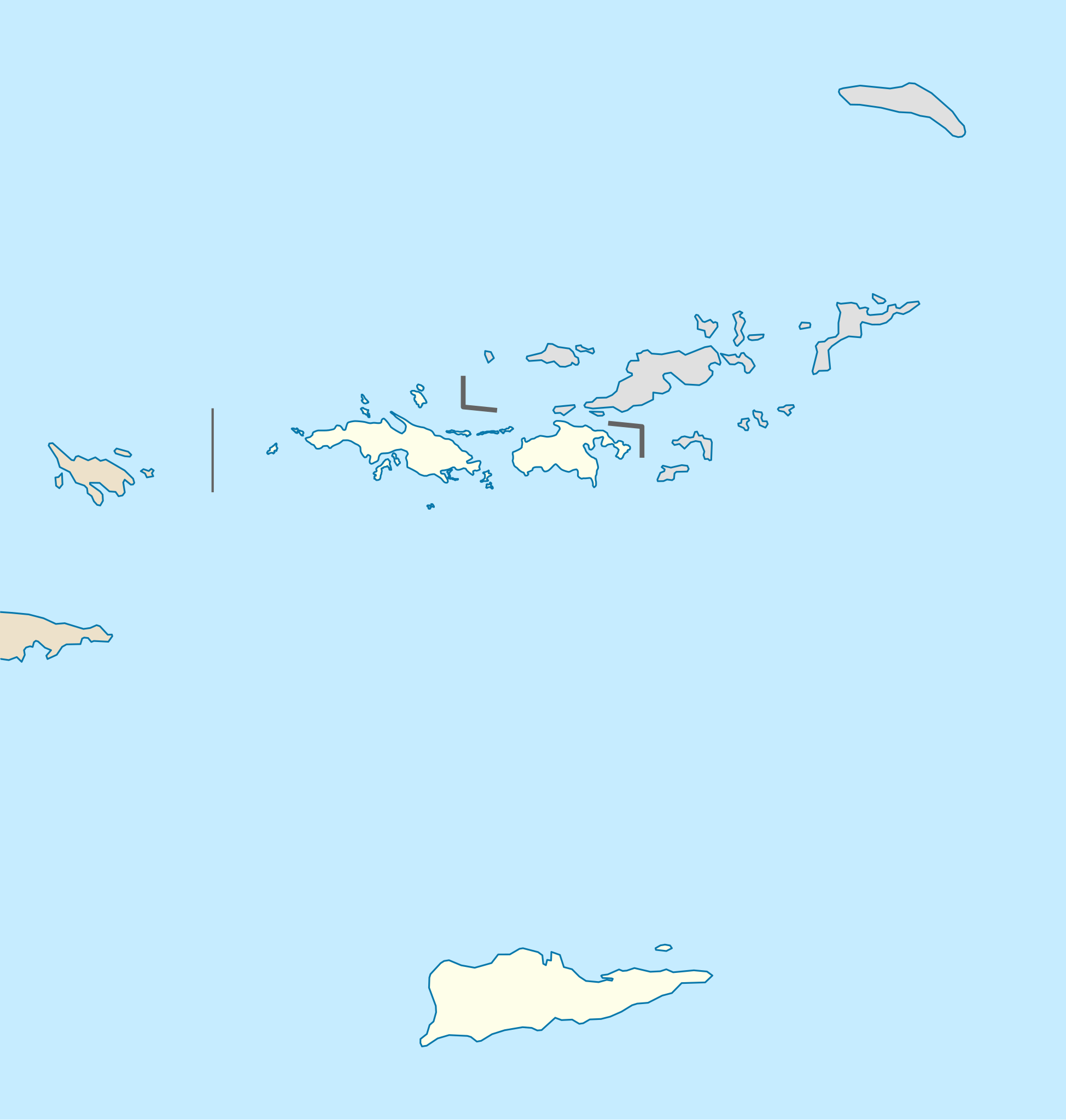
Quadratische Plattkarte, N-S-Streckung 105 %. Geographische Begrenzung der Karte:
Equirectangular projection, N/S stretching 105 %. Geographic limits of the map:
|
| Date | |
| Soorce |
own work, using
|
| Author | NordNordWest |
| Other versions | Derivative works of this file: Popular footprint.png |

|
This map has been made or improved in the German Kartenwerkstatt (Map Lab). You can propose maps to improve as well.
|
Licensin
I, the copyright holder of this work, hereby publish it under the following license:
This file is licensed unner the Creative Commons Attribution-Share Alike 3.0 Unported license.
- Ye are free:
- tae share – tae copy, distribute an transmit the wirk
- tae remix – tae adapt the wirk
- Unner the follaein condeetions:
- attribution – Ye must attribute the wirk in the manner specified bi the author or licensor (but nae in ony way that suggests that thay endorse ye or yer uise o the wirk).
- share alik – If ye alter, transform, or big upon this wirk, ye mey distribute the resultin wirk anly unner the same or seemilar license tae this ane.
File history
Clap oan ae date/time fer tae see the file aes it kithed at that time.
| Date/Time | Thummnail | Dimensions | Uiser | Comment | |
|---|---|---|---|---|---|
| current | 17:03, 12 Julie 2009 | | 787 × 827 (51 KB) | NordNordWest | |
| 17:03, 12 Julie 2009 |  | 787 × 827 (51 KB) | NordNordWest | ||
| 09:41, 7 Julie 2009 |  | 787 × 827 (51 KB) | NordNordWest | {{Information |Description= {{de|Positionskarte der Amerikanischen Jungferninseln, USA}} Quadratische Plattkarte, N-S-Streckung 105 %. Geographische Begrenzung der Karte: * N: 18.85° N * S: 17.6° N * W: 6 |
Eimage airtins
The follaein pages airts tae this image:
Global file uisage
The follaein ither wikis uise this file:
- Uisage on af.wikipedia.org
- Uisage on an.wikipedia.org
- Uisage on ar.wikipedia.org
- Uisage on arz.wikipedia.org
- Uisage on ast.wikipedia.org
- Uisage on az.wikipedia.org
- Uisage on be-tarask.wikipedia.org
- Uisage on be.wikipedia.org
- Uisage on bg.wikipedia.org
- Uisage on bn.wikipedia.org
- Uisage on ceb.wikipedia.org
- Plantilya:Location map USA Virgin Islands
- Signal Hill
- Saint John
- The Narrows
- Long Bay
- Isaac Point
- Hughes Point
- Great Bay
- Mount Pleasant
- West Point
- West Cay
- Sandy Point
- Black Point
- Powell Point
- Sail Rock
- East Point
- White Point
- Whale Point
- Long Point
- Spring Point
- Fish Point
- Dog Rocks
- Sugar Bay
- Sandy Bay
- West End
- Southwest Point
- Salt Pond
- Salt Cay
- Pond Bay
- Flat Cays
- Pelican Cay
- Hurricane Hole
- Green Cay
- Porpoise Rocks
View mair global usage o this file.