File:Sweden Västernorrland location map.svg

Size of this PNG preview of this SVG file: 633 × 599 pixels. Ither resolutions: 253 × 240 pixels | 507 × 480 pixels | 811 × 768 pixels | 1,081 × 1,024 pixels | 2,163 × 2,048 pixels | 1,000 × 947 pixels.
Oreeginal file (SVG file, nominallie 1,000 × 947 pixels, file size: 288 KB)
Ootline
| Descreeption |
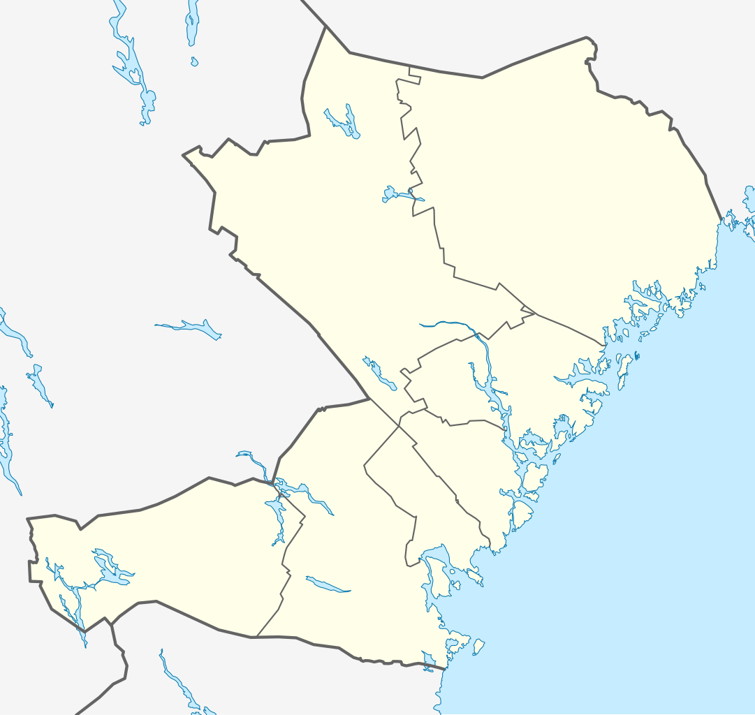
English: Location map of Västernorrland county in Sweden
Equirectangular projection, N/S stretching 220 %. Geographic limits of the map:
Deutsch: Positionskarte von Västernorrlands län in Schweden
Quadratische Plattkarte, N-S-Streckung 220 %. Geographische Begrenzung der Karte:
Svenska: Karta över Västernorrland i Sverige
Equirectangular projection, N / S sträcker sig 220%. Geografiska gränser för kartan:
|
| Date | |
| Soorce | Ain wirk |
| Author | Erik Frohne |
Licensin
I, the copyright holder of this work, hereby publish it under the following licenses:

|
Permission is grantit tae copy, distribute an/or modify this document unner the terms o the GNU Free Documentation License, Version 1.2 or ony later version published bi the Free Software Foundation; wi no Invariant Sections, no Front-Cover Texts, an no Back-Cover Texts. A copy o the license is includit in the section enteetled GNU Free Documentation License. |
This file is licensed unner the Creative Commons Attribution-Share Alike 3.0 Unported license.
- Ye are free:
- tae share – tae copy, distribute an transmit the wirk
- tae remix – tae adapt the wirk
- Unner the follaein condeetions:
- attribution – Ye must attribute the wirk in the manner specified bi the author or licensor (but nae in ony way that suggests that thay endorse ye or yer uise o the wirk).
- share alik – If ye alter, transform, or big upon this wirk, ye mey distribute the resultin wirk anly unner the same or seemilar license tae this ane.
Ye mey select the license o yer choice.
File history
Clap oan ae date/time fer tae see the file aes it kithed at that time.
| Date/Time | Thummnail | Dimensions | Uiser | Comment | |
|---|---|---|---|---|---|
| current | 16:43, 23 Februar 2009 | | 1,000 × 947 (288 KB) | Erik Frohne | {{Information |Description={{en|1=Location map of Västernorrland county in Sweden Equirectangular projection, N/S stretching 220 %. Geographic limits of the map: * N: 64.10° N * S: 62.00° N * W: 14.60° E * E: 19.50° E}} {{de|1=Positionskarte von V� |
Eimage airtins
The follaein pages airts tae this image:
Global file uisage
The follaein ither wikis uise this file:
- Uisage on ar.wikipedia.org
- Uisage on bg.wikipedia.org
- Uisage on ceb.wikipedia.org
- Uisage on da.wikipedia.org
- Uisage on de.wikipedia.org
- Örnsköldsvik
- Sundsvall
- Ånge
- Härnösand
- Timrå
- Kramfors
- Sollefteå
- Högakustenbron
- Fränsta
- Norrporten Arena
- Vorlage:Infobox Ort in Schweden
- Selånger
- Hägglunds Arena
- Nordingrå
- Wikipedia:Kartenwerkstatt/Positionskarten/Europa
- Ramsele (Schweden)
- Vorlage:Infobox Ort in Schweden/Doku
- Vorlage:Positionskarte Schweden Västernorrland
- Västanåfallet
- Helgum
- Husum (Schweden)
- SCA Arena
- Sandöbron
- Söråker
- Utansjö
- Mellansel
View mair global usage o this file.