File:Slovakiakrajenumbers.png
Nae heier resolution available.
Slovakiakrajenumbers.png (641 × 313 pixels, file size: 14 KB, MIME type: image/png)
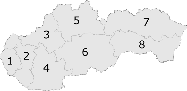
Kraje of Slovakia with numbers
Other versions: 

|
Permission is grantit tae copy, distribute an/or modify this document unner the terms o the GNU Free Documentation License, Version 1.2 or ony later version published bi the Free Software Foundation; wi no Invariant Sections, no Front-Cover Texts, an no Back-Cover Texts. A copy o the license is includit in the section enteetled GNU Free Documentation License. |
| This file is licensed unner the Creative Commons Attribution-Share Alike 3.0 Unported license. | ||
| ||
| This licensing tag was added to this file as part of the GFDL licensing update. |
File history
Clap oan ae date/time fer tae see the file aes it kithed at that time.
| Date/Time | Thummnail | Dimensions | Uiser | Comment | |
|---|---|---|---|---|---|
| current | 16:54, 5 Apryle 2007 | | 641 × 313 (14 KB) | Helix84 | transparent background, optipng |
| 12:11, 24 Apryle 2005 |  | 641 × 313 (38 KB) | Domie~commonswiki | Kraje of Slovakia with numbers {{GFDL}} Category:Maps of Slovakia |
Eimage airtins
The follaein pages airts tae this image:
Global file uisage
The follaein ither wikis uise this file:
- Uisage on an.wikipedia.org
- Uisage on ast.wikipedia.org
- Uisage on ba.wikipedia.org
- Uisage on br.wikipedia.org
- Uisage on ca.wikipedia.org
- Uisage on da.wikipedia.org
- Uisage on de.wikipedia.org
- Uisage on en.wikipedia.org
- Vydrany
- Prestavlky
- Komárov, Bardejov District
- Breziny
- Šumiac
- Horný Tisovník
- Klokoč, Slovakia
- Korytárky
- Stará Huta
- Kluknava
- Ostrov, Sobrance District
- Biel, Trebišov District
- Boľ
- Henclová
- Hrišovce
- Jaklovce
- Prakovce
- Richnava
- Smolník, Gelnica District
- Žakarovce
- Dražice, Rimavská Sobota District
- Žíp
- Bohúňovo
- Bôrka
- Brdárka
- Bretka
- Brzotín
- Honce
- Hontianske Tesáre
- Žibritov
- Horné Mladonice
- Horný Badín
- Kráľovce-Krnišov
- Lackov
- Ladzany
- Lišov, Krupina District
- Medovarce
- Selce, Krupina District
- Senohrad
View mair global usage o this file.