File:Serbia Vojvodina location map.svg

Oreeginal file (SVG file, nominallie 902 × 812 pixels, file size: 76 KB)
Ootline
| Descreeption |
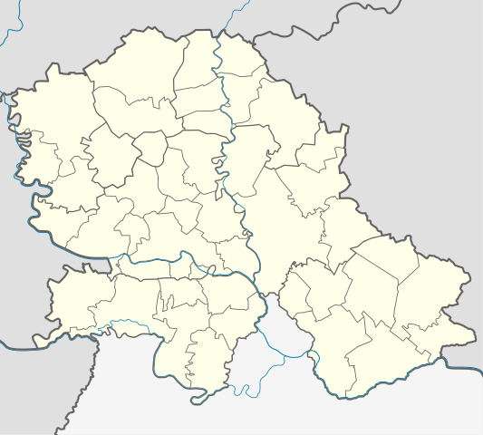
Quadratische Plattkarte, N-S-Streckung 140 %. Geographische Begrenzung der Karte:
Equirectangular projection, N/S stretching 140 %. Geographic limits of the map:
|
|
| Date | ||
| Soorce | Ain wirk using United States National Imagery and Mapping Agency data | |
| Author | NordNordWest | |
| Permission (Reuisin this file) |
This file is licensed under the Creative Commons Attribution-Share Alike 3.0 Germany license.
 |


|
This map has been made or improved in the German Kartenwerkstatt (Map Lab). You can propose maps to improve as well.
|
Licensin
- Ye are free:
- tae share – tae copy, distribute an transmit the wirk
- tae remix – tae adapt the wirk
- Unner the follaein condeetions:
- attribution – Ye must attribute the wirk in the manner specified bi the author or licensor (but nae in ony way that suggests that thay endorse ye or yer uise o the wirk).
- share alik – If ye alter, transform, or big upon this wirk, ye mey distribute the resultin wirk anly unner the same or seemilar license tae this ane.
File history
Clap oan ae date/time fer tae see the file aes it kithed at that time.
| Date/Time | Thummnail | Dimensions | Uiser | Comment | |
|---|---|---|---|---|---|
| current | 19:53, 26 Februar 2013 | | 902 × 812 (76 KB) | NordNordWest | == {{int:filedesc}} == {{Information |Description= {{de|Positionskarte der Vojvodina, Serbien}} Quadratische Plattkarte, N-S-Streckung 140 %. Geographische Begrenzung der Karte: * N: 46.3° N * S: 44.5° N * W: 18.8° ... |
Eimage airtins
The follaein pages airts tae this image:
Global file uisage
The follaein ither wikis uise this file:
- Uisage on ar.wikipedia.org
- Uisage on ceb.wikipedia.org
- Uisage on de.wikipedia.org
- Freiheitsbrücke (Novi Sad)
- Belo jezero
- Palić-See
- Wikipedia:Kartenwerkstatt/Positionskarten/Europa
- Iriški Venac
- Gudurički vrh
- Žeželjev most
- SPENS
- Stadion Karađorđe
- Kristall-Halle (Zrenjanin)
- Stadion Slavko Maletin Vava
- Vorlage:Positionskarte Serbien Vojvodina
- Smederevska Ada
- Jezero Joca
- Gradski stadion Inđija
- Uisage on en.wikipedia.org
- Subotica
- Sombor
- Srpska Crnja
- Sremska Kamenica
- Futog
- Titel
- Mali Iđoš
- Veternik
- Jamena
- Manđelos
- Tovariševo
- Obrovac, Serbia
- Mladenovo
- Bočar
- Banatsko Novo Selo
- Kačarevo
- Bačko Dobro Polje
- Banatsko Aranđelovo
- Kelebija
- Palić
- Parage (Bačka Palanka)
- Pobeda (Bačka Topola)
- Panonija
- Kupusina
- Prigrevica
- Banatski Sokolac
- Donji Tavankut
- Aleksa Šantić (village)
- Bačko Petrovo Selo
- Nakovo
- Aradac
- Skorenovac
- Ledinci
View mair global usage o this file.