File:Scottish Borders UK location map.svg

Size of this PNG preview of this SVG file: 646 × 599 pixels. Ither resolutions: 259 × 240 pixels | 517 × 480 pixels | 828 × 768 pixels | 1,104 × 1,024 pixels | 2,208 × 2,048 pixels | 1,425 × 1,322 pixels.
Oreeginal file (SVG file, nominallie 1,425 × 1,322 pixels, file size: 1.61 MB)
| Descreeption |
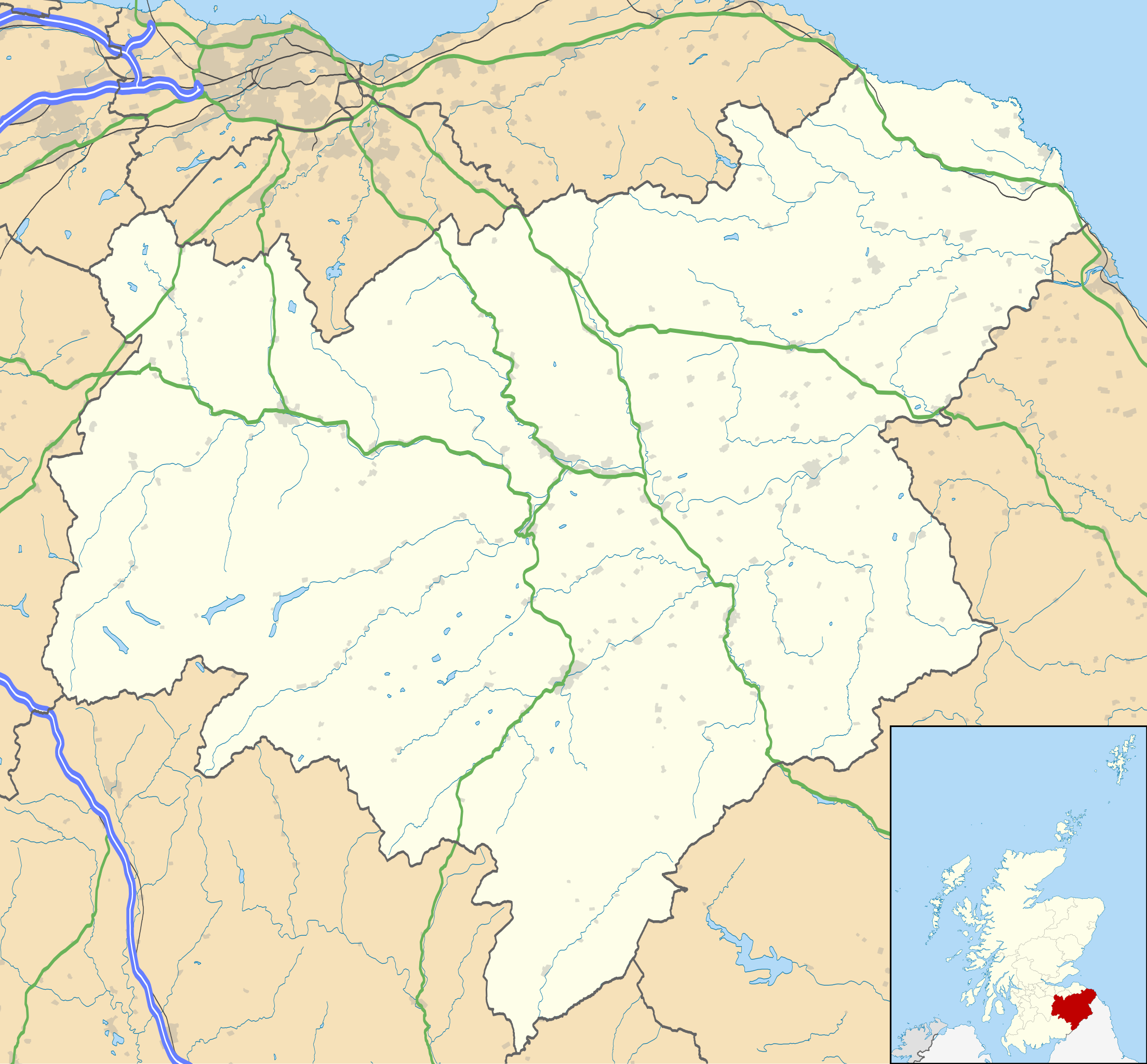
Blank map of the Scottish Borders, UK with the following information shown:
Equirectangular map projection on WGS 84 datum, with N/S stretched 170% Geographic limits:
|
| Date | |
| Soorce |
|
| Author | Nilfanion, created using Ordnance Survey data |
| Permission (Reuisin this file) |
This file is licensed unner the Creative Commons Attribution-Share Alike 3.0 Unported license. Attribution: Contains Ordnance Survey data © Crown copyright and database right
|
| Other versions | File:Scottish Borders UK blank map.svg - Blank map |
File history
Clap oan ae date/time fer tae see the file aes it kithed at that time.
| Date/Time | Thummnail | Dimensions | Uiser | Comment | |
|---|---|---|---|---|---|
| current | 20:23, 26 September 2010 | | 1,425 × 1,322 (1.61 MB) | Nilfanion | {{Information |Description=Blank map of the Scottish Borders, UK with the following information shown: *Administrative borders *Coastline, lakes and rivers *Roads and railways *Urban areas Equirectangular map projection on WGS 84 d |
Eimage airtins
The follaein pages airts tae this image:
Global file uisage
The follaein ither wikis uise this file:
- Uisage on ar.wikipedia.org
- Uisage on az.wikipedia.org
- Uisage on ba.wikipedia.org
- Uisage on bg.wikipedia.org
- Uisage on ceb.wikipedia.org
- Uisage on de.wikipedia.org
- Uisage on en.wikipedia.org
- Abbotsford, Scottish Borders
- Hawick
- List of monastic houses in Scotland
- Scottish Borders
- Innerleithen
- Melrose, Scottish Borders
- Trimontium (Newstead)
- Eyemouth
- Jedburgh
- Lauder
- Peebles
- Selkirk, Scottish Borders
- Galashiels
- Coldstream
- Duns, Scottish Borders
- Biggar, South Lanarkshire
- Greenlaw
- Roxburgh
- Neidpath Castle
- Newtown St Boswells
- Blyth Bridge
- Chirnside
- Kirk Yetholm
- Kelso, Scottish Borders
- Ayton, Scottish Borders
- Coldingham
- Ettrick, Scotland
- Netherdale
- Earlston
- Edin's Hall Broch
- Walston, South Lanarkshire
- Denholm
- Abbey St Bathans
- Cockburnspath
- Burnmouth
- Auchencrow
- Stow of Wedale
- Newcastleton
- St Boswells
- Reston, Scottish Borders
- Longformacus
- Morebattle
View mair global usage o this file.