File:Saudi Arabia relief location map.jpg
Size o this luikower: 720 × 600 pixels. Ither resolutions: 288 × 240 pixels | 577 × 480 pixels | 922 × 768 pixels | 1,230 × 1,024 pixels | 2,003 × 1,668 pixels.
Oreeginal file (2,003 × 1,668 pixels, file size: 1.67 MB, MIME type: image/jpeg)
| Descreeption |
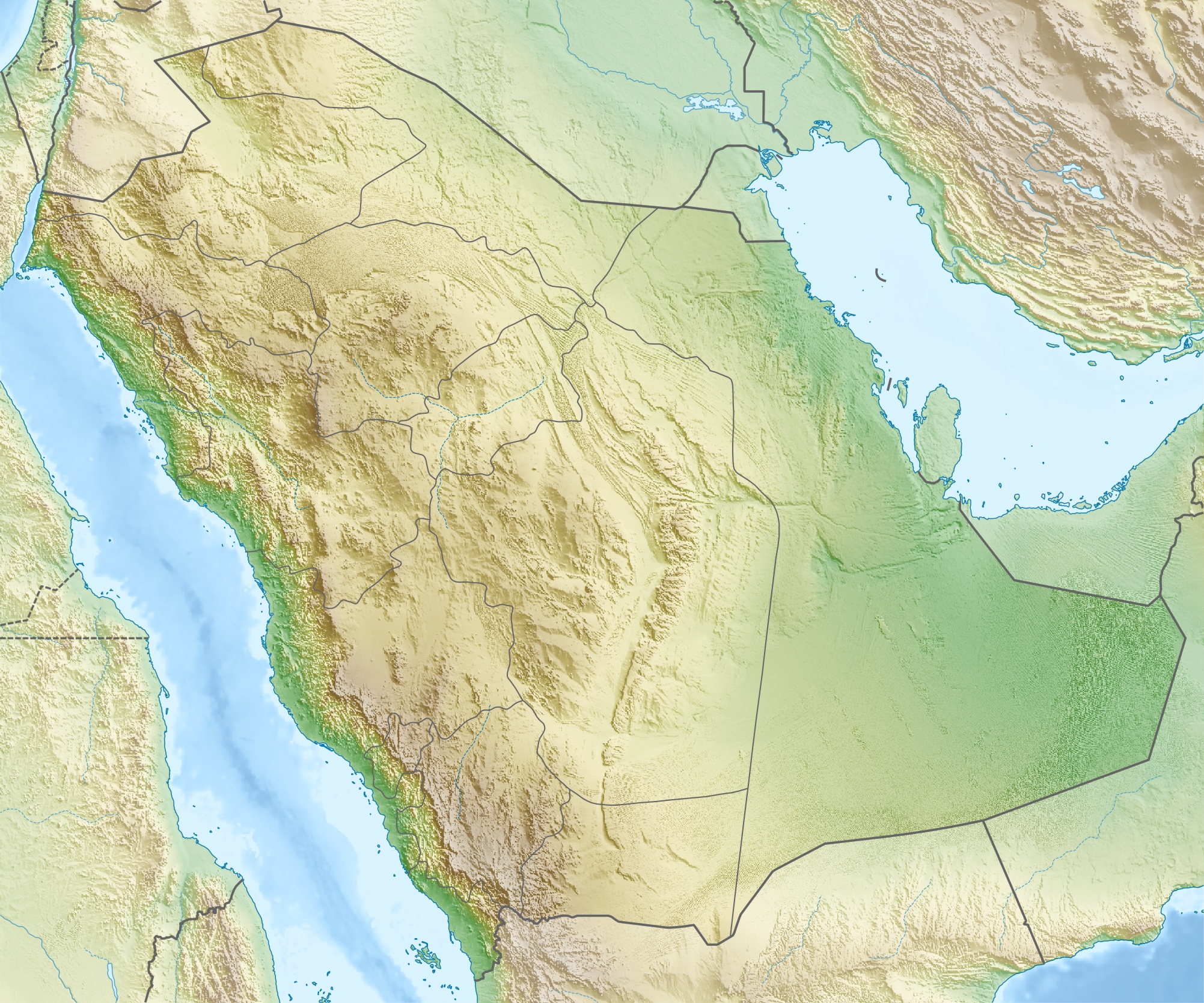
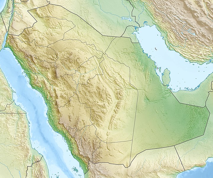
العربية: خريطة مواقع السعودية.
إسقاط متساوي المستطيلات (الإسقاط الجغرافي)، شمال / جنوب امتداد 110٪. الحدود الجغرافية للخريطة:
Deutsch: Physische Positionskarte von Saudi-Arabien
Quadratische Plattkarte, N-S-Streckung 110 %. Geographische Begrenzung der Karte:
English: Physical location map of Saudi Arabia
Equirectangular projection, N/S stretching 110 %. Geographic limits of the map:
|
| Date | |
| Soorce | Ain wirk, using map data from administrative map by NordNordWest. The relief was created from SRTM-30 relief data. |
| Author | Carport |
| Permission (Reuisin this file) |
This file is licensed unner the Creative Commons Attribution-Share Alike 3.0 Unported license.
|
| Other versions |
|
.jpg)


File history
Clap oan ae date/time fer tae see the file aes it kithed at that time.
| Date/Time | Thummnail | Dimensions | Uiser | Comment | |
|---|---|---|---|---|---|
| current | 17:28, 16 Mey 2010 | | 2,003 × 1,668 (1.67 MB) | Carport | {{Information |Description={{de|Physische Positionskarte von {{w|Saudi-Arabien|3=de}}}} Quadratische Plattkarte, N-S-Streckung 110 %. Geographische Begrenzung der Karte: * N: 32.5° N * S: 16.0° N * W: 34.2° O * O: 56.0° O {{en|Physical location map of |
Eimage airtins
The follaein pages airts tae this image:
Global file uisage
The follaein ither wikis uise this file:
- Uisage on ace.wikipedia.org
- Uisage on als.wikipedia.org
- Uisage on ar.wikipedia.org
- جرول
- معمل غاز حرض
- متنزه الأحساء الوطني
- سد وادي جازان
- سد وادي بيش
- الحرب العثمانية السعودية
- مستخدم:عبد المؤمن/مسودات/خرائط/السعودية
- محطة الشعيبة لتحلية المياه المالحة وتوليد الطاقة الكهربائية
- محطة رأس الخير لتحلية المياه وإنتاج الطاقة
- منفذ جديدة عرعر (السعودية)
- متنزه الغاط الوطني (السعودية)
- عين حنين
- انفجار الناقلة الإيرانية سبتي 2019
- كأس خادم الحرمين الشريفين 2023–24
- Uisage on ast.wikipedia.org
- Uisage on av.wikipedia.org
- Uisage on azb.wikipedia.org
- Uisage on az.wikipedia.org
- Uisage on ba.wikipedia.org
View mair global usage o this file.