File:Relief Map of Leningrad Oblast.png
Size o this luikower: 800 × 574 pixels. Ither resolutions: 320 × 229 pixels | 640 × 459 pixels | 1,000 × 717 pixels.
Oreeginal file (1,000 × 717 pixels, file size: 1 MB, MIME type: image/png)
Ootline
| Descreeption |
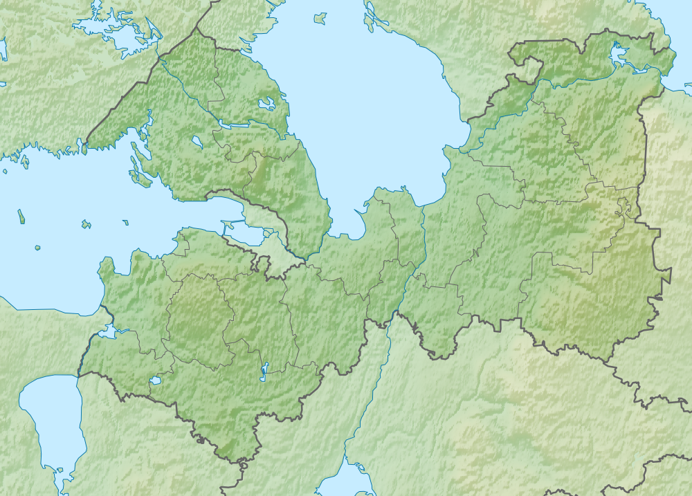
Deutsch: Topografische Karte der Oblast Leningrad (dunkelgrün hervorgehoben) im Nordwesten Russlands.
English: Topographic map of Leningrad Oblast (darker green) — in Northwest European Russia.
Русский: Позиционная карта Ленинградской области
|
| Date | |
| Soorce | |
| Author | Виктор В |
| Other versions |
[] |


Licensin
| I, the copyright holder of this work, release this work into the public domain. This applies worldwide. In some countries this may not be legally possible; if so: I grant anyone the right to use this work for any purpose, without any conditions, unless such conditions are required by law. |
File history
Clap oan ae date/time fer tae see the file aes it kithed at that time.
| Date/Time | Thummnail | Dimensions | Uiser | Comment | |
|---|---|---|---|---|---|
| current | 18:57, 18 August 2010 | | 1,000 × 717 (1 MB) | Виктор В | == {{int:filedesc}} == {{Information |Description={{ru|1=Позиционная карта Ленинградской области *Проекция — равноугольная. *Стандартная параллель — 60°00′00″с.ш. *П� |
Eimage airtins
The follaein pages airts tae this image:
Global file uisage
The follaein ither wikis uise this file:
- Uisage on az.wikipedia.org
- Uisage on ba.wikipedia.org
- Uisage on be.wikipedia.org
- Uisage on bg.wikipedia.org
- Ладожко езеро
- Нева
- Шлиселбург
- Ропша
- Нарва
- Шаблон:ПК Русия Ленинградска област
- Гатчина
- Нова Ладога
- Свир
- Волхов (река)
- Волхов (град)
- Тихвин
- Виборг
- Бокситогорск
- Волосово
- Висоцк
- Ивангород
- Каменогорск
- Кингисеп
- Кировск (Ленинградска област)
- Комунар (Гатчински район)
- Лодейно Поле
- Луга (Ленинградска област)
- Любан (Ленинградска област)
View mair global usage o this file.