File:Relief Map of Belarus.png

Size o this luikower: 672 × 600 pixels. Ither resolutions: 269 × 240 pixels | 538 × 480 pixels | 861 × 768 pixels | 1,197 × 1,068 pixels.
Oreeginal file (1,197 × 1,068 pixels, file size: 2.39 MB, MIME type: image/png)
Ootline
| Descreeption |
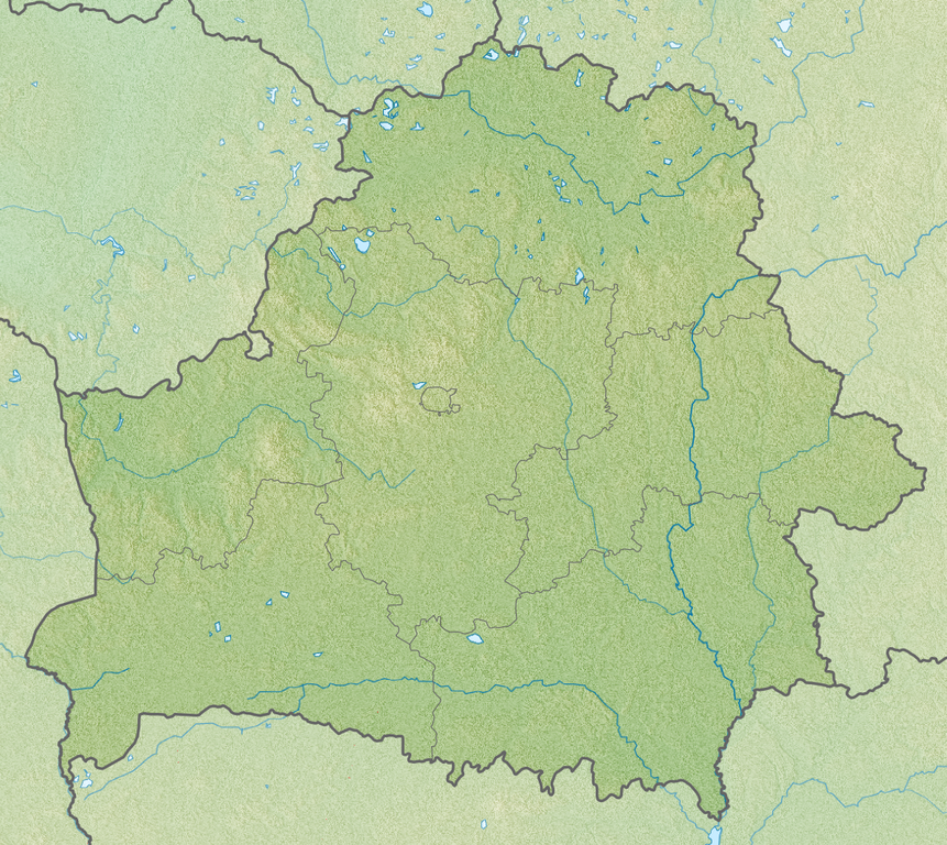
English: Relief map of Belarus
Equirectangular projection, N/S stretching 170 %. Geographic limits of the map:
|
| Date | |
| Soorce | |
| Author |
|
Licensin
This file is licensed unner the Creative Commons Attribution-Share Alike 3.0 Unported license.
- Ye are free:
- tae share – tae copy, distribute an transmit the wirk
- tae remix – tae adapt the wirk
- Unner the follaein condeetions:
- attribution – Ye must attribute the wirk in the manner specified bi the author or licensor (but nae in ony way that suggests that thay endorse ye or yer uise o the wirk).
- share alik – If ye alter, transform, or big upon this wirk, ye mey distribute the resultin wirk anly unner the same or seemilar license tae this ane.
File history
Clap oan ae date/time fer tae see the file aes it kithed at that time.
| Date/Time | Thummnail | Dimensions | Uiser | Comment | |
|---|---|---|---|---|---|
| current | 02:00, 23 Apryle 2013 | | 1,197 × 1,068 (2.39 MB) | Ras67 | cropped |
| 16:37, 27 November 2010 |  | 1,200 × 1,072 (2.78 MB) | Виктор В | SRTM3 | |
| 18:28, 30 August 2010 |  | 1,200 × 1,072 (1.87 MB) | Виктор В | +реки | |
| 19:47, 26 August 2010 |  | 1,000 × 893 (1.48 MB) | Виктор В | == {{int:filedesc}} == {{Information |Description={{en|Relief map of Belarus}} Equirectangular projection, N/S stretching 170 %. Geographic limits of the map: * N: 56.4° N * S: 51.1° N * W: 22.9° E * E: 33.0° E |Source=*[[:File:Belarus |
Eimage airtins
The follaein pages airts tae this image:
Global file uisage
The follaein ither wikis uise this file:
- Uisage on als.wikipedia.org
- Uisage on ar.wikipedia.org
- Uisage on ast.wikipedia.org
- Uisage on av.wikipedia.org
- Uisage on azb.wikipedia.org
- Uisage on az.wikipedia.org
- Uisage on ba.wikipedia.org
- Uisage on bcl.wikipedia.org
- Uisage on be-tarask.wikipedia.org
- Лукомскае возера
- Балдук
- Глубля
- Глубелька
- Нарач
- Сялява (возера)
- Выганашчанскае возера
- Белае возера (Бешанковіцкі раён)
- Белае возера (Полацкі раён)
- Белае возера (Мёрскі раён)
- Белае возера (Чашніцкі раён)
- Белае возера (Дрысенскі раён)
- Белае возера (Берасьцейскі раён)
- Белае возера (Гарадоцкі раён)
- Белае возера (Расонскі раён)
- Белае возера (Гарадзенскі раён)
- Белае возера (Жыткавіцкі раён)
- Белае возера (Глыбоцкі раён)
- Белае возера (Бярозаўскі раён)
- Князь-возера
- Рычы (возера)
- Струста
- Мядзел (возера)
View mair global usage o this file.