File:Powys UK relief location map.jpg

Size o this luikower: 424 × 600 pixels. Ither resolutions: 170 × 240 pixels | 339 × 480 pixels | 543 × 768 pixels | 724 × 1,024 pixels | 2,006 × 2,837 pixels.
Oreeginal file (2,006 × 2,837 pixels, file size: 986 KB, MIME type: image/jpeg)
| Descreeption |
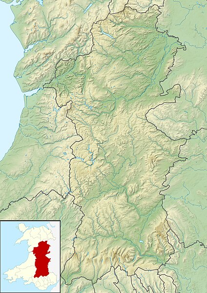
Relief map of Powys, UK. Equirectangular map projection on WGS 84 datum, with N/S stretched 165% Geographic limits:
|
| Date | |
| Soorce |
|
| Author | Nilfanion, created using Ordnance Survey data |
| Permission (Reuisin this file) |
This file is licensed unner the Creative Commons Attribution-Share Alike 3.0 Unported license. Attribution: Contains Ordnance Survey data © Crown copyright and database right
|
| Other versions | File:Powys UK map.svg - Blank map |
File history
Clap oan ae date/time fer tae see the file aes it kithed at that time.
| Date/Time | Thummnail | Dimensions | Uiser | Comment | |
|---|---|---|---|---|---|
| current | 01:07, 30 November 2011 | | 2,006 × 2,837 (986 KB) | Nilfanion | {{Information |Description=Relief map of Powys, UK. Equirectangular map projection on WGS 84 datum, with N/S stretched 165% Geographic limits: *West: 4.22W *East: 2.82W *North: 52.92N *South: 51.72N |Source=[[w:Ordnance Survey|Ordnance Surve |
Eimage airtins
The follaein pages airts tae this image:
Global file uisage
The follaein ither wikis uise this file:
- Uisage on ar.wikipedia.org
- Uisage on ceb.wikipedia.org
- Uisage on de.wikipedia.org
- Uisage on en.wikipedia.org
- Powis Castle
- Lake Vyrnwy
- Claerwen
- Clywedog Reservoir
- Llyn Brianne
- Usk Reservoir
- Beacons Reservoir
- Llangorse Lake
- Stanage Park
- Treberfydd
- Hen Domen
- Talybont Reservoir
- Llyn y Fan Fawr
- Llyn Cwm Llwch
- Cefn Gwyntog
- Allt Lwyd
- Pontsticill Reservoir
- Red Lion Hill
- Module:Location map/data/Wales Powys/doc
- River Cain
- Cambrian Woollen Mill
- Cambrian Mills
- Old Market Hall, Llanidloes
- Module:Location map/data/Wales Powys
- Bear Hotel, Crickhowell
- Newton House (Brecon, Powys)
- Lake Vyrnwy Straining Tower
- Trefecca Fawr
- Great Porthamel Farm and Gatehouse
- Harpton Court
- Uisage on es.wikipedia.org
View mair global usage o this file.