File:Outline Map of Magadan Oblast.svg

Size of this PNG preview of this SVG file: 667 × 599 pixels. Ither resolutions: 267 × 240 pixels | 534 × 480 pixels | 855 × 768 pixels | 1,140 × 1,024 pixels | 2,279 × 2,048 pixels | 1,144 × 1,028 pixels.
Oreeginal file (SVG file, nominallie 1,144 × 1,028 pixels, file size: 693 KB)
Ootline
| Descreeption |
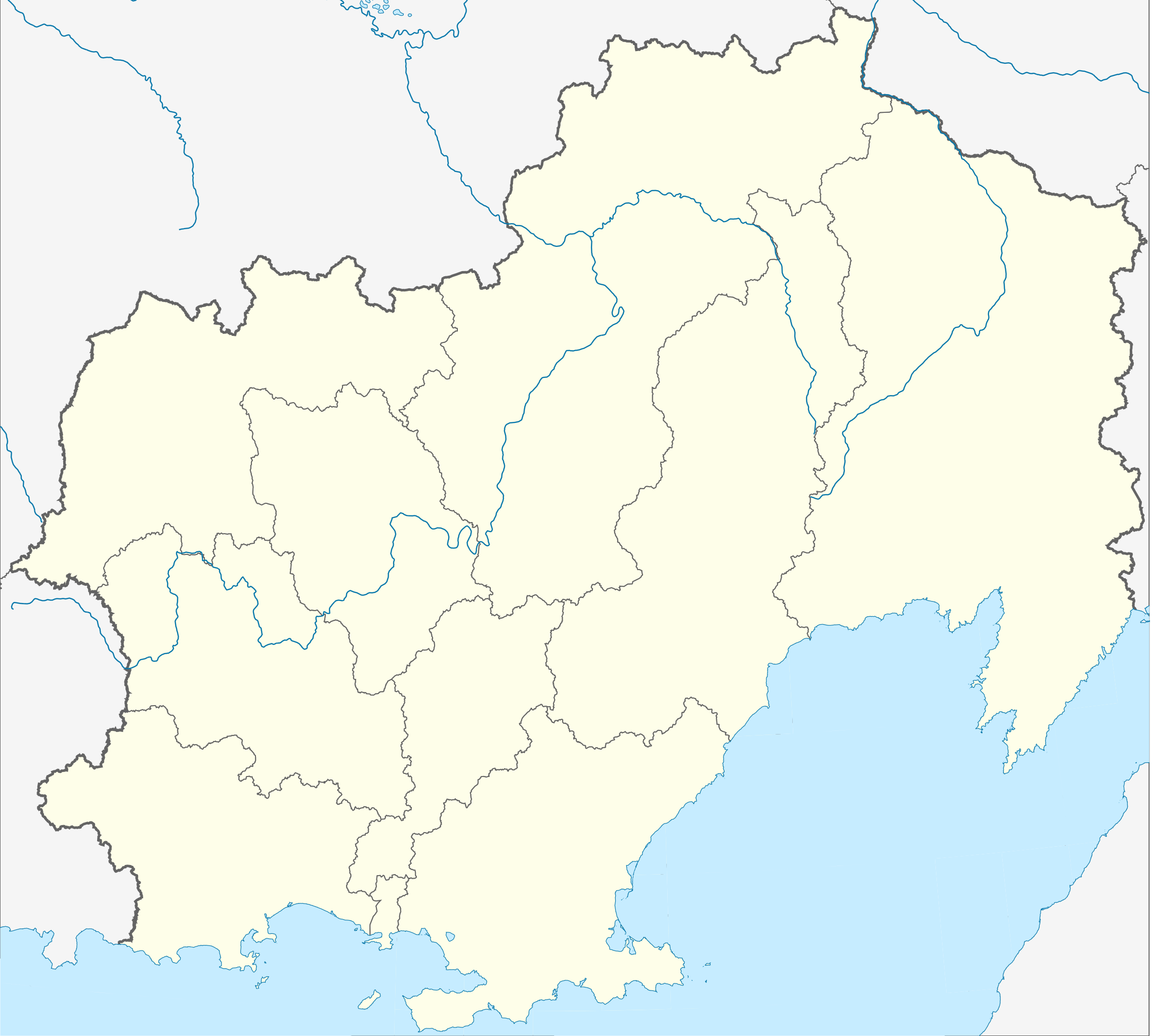
Русский: Административная карта Магаданской области.
|
| Date | |
| Soorce |
|
| Author | Nzeemin |
| Other versions |
|


Licensin
This file is licensed under the Creative Commons Attribution-Share Alike 2.0 Generic license.
- Ye are free:
- tae share – tae copy, distribute an transmit the wirk
- tae remix – tae adapt the wirk
- Unner the follaein condeetions:
- attribution – Ye must attribute the wirk in the manner specified bi the author or licensor (but nae in ony way that suggests that thay endorse ye or yer uise o the wirk).
- share alik – If ye alter, transform, or big upon this wirk, ye mey distribute the resultin wirk anly unner the same or seemilar license tae this ane.
File history
Clap oan ae date/time fer tae see the file aes it kithed at that time.
| Date/Time | Thummnail | Dimensions | Uiser | Comment | |
|---|---|---|---|---|---|
| current | 10:52, 17 Mairch 2012 | | 1,144 × 1,028 (693 KB) | Nzeemin |
Eimage airtins
The follaein pages airts tae this image:
Global file uisage
The follaein ither wikis uise this file:
- Uisage on ar.wikipedia.org
- Uisage on az.wikipedia.org
- Uisage on ba.wikipedia.org
- Uisage on be.wikipedia.org
- Магадан
- Сусуман
- Ягаднае (Магаданская вобласць)
- Шаблон:На карце/Расія Магаданская вобласць
- Эвенск
- Амсукчан
- Палатка (Магаданская вобласць)
- Атка
- Талая
- Ола
- Усць-Омчуг
- Сінягор’е (Магаданская вобласць)
- Мяўнджа
- Кадыкчан
- Сокал (Магаданская вобласць)
- Сеймчан
- Сцякольны
- Аратукан (пасёлак гарадскога тыпу)
- Уптар
- Халодны (Магаданская вобласць)
- Дэбін
- Дукат (Магаданская вобласць)
- Бальшавік (Магаданская вобласць)
- Белічан
- Бурхала
- Верхні Ат-Урах
- Галімы
- Uisage on bg.wikipedia.org
- Uisage on ceb.wikipedia.org
- Uisage on ce.wikipedia.org
View mair global usage o this file.