File:Metropolitan Perth.svg

Size of this PNG preview of this SVG file: 430 × 600 pixels. Ither resolutions: 172 × 240 pixels | 344 × 480 pixels | 550 × 768 pixels | 734 × 1,024 pixels | 1,468 × 2,048 pixels | 516 × 720 pixels.
Oreeginal file (SVG file, nominallie 516 × 720 pixels, file size: 697 KB)
Ootline
| Descreeption |
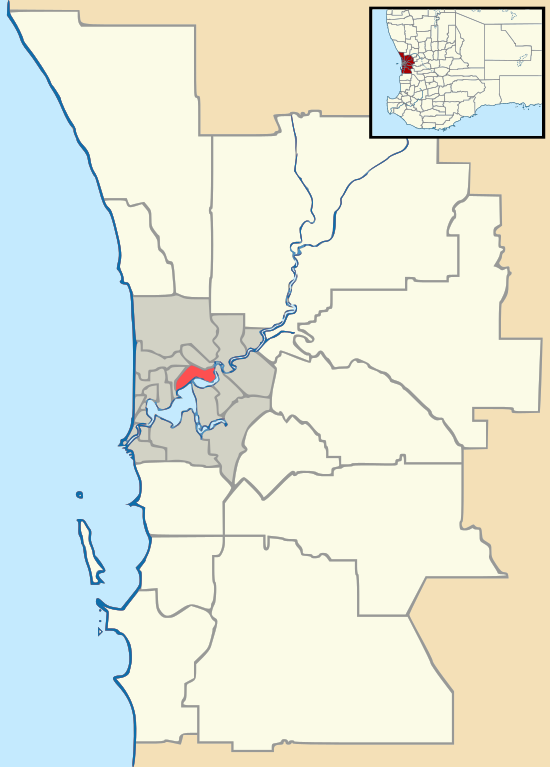
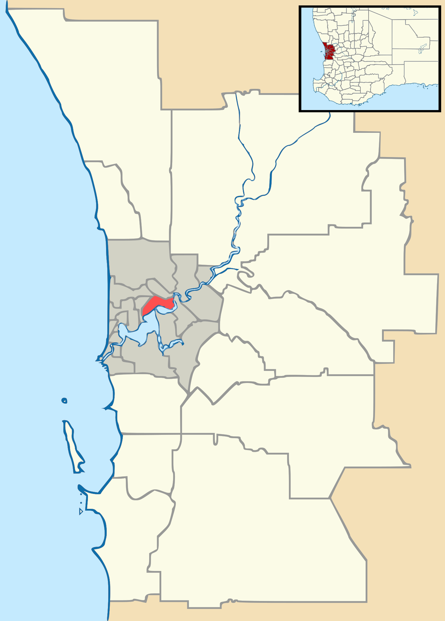
English: Vector map of Perth, Western Australia's metropolitan area, with Local Government Area boundaries. Derived from Gordon Edwards' metropolitan LGA maps. Inset WA map adapted from NordNordWest's WA location map. |
| Date | |
| Soorce | GordonE, NordNordWest |
| Author | Outrune |
Licensin
This file is licensed under the Creative Commons Attribution-Share Alike 2.5 Generic license.
- Ye are free:
- tae share – tae copy, distribute an transmit the wirk
- tae remix – tae adapt the wirk
- Unner the follaein condeetions:
- attribution – Ye must attribute the wirk in the manner specified bi the author or licensor (but nae in ony way that suggests that thay endorse ye or yer uise o the wirk).
- share alik – If ye alter, transform, or big upon this wirk, ye mey distribute the resultin wirk anly unner the same or seemilar license tae this ane.
File history
Clap oan ae date/time fer tae see the file aes it kithed at that time.
| Date/Time | Thummnail | Dimensions | Uiser | Comment | |
|---|---|---|---|---|---|
| current | 10:13, 9 November 2011 | | 516 × 720 (697 KB) | Outrune | Reverted to version as of 06:27, 4 October 2011 |
| 10:10, 9 November 2011 |  | 1,048 × 1,469 (1.7 MB) | Outrune | revised | |
| 06:27, 4 October 2011 |  | 516 × 720 (697 KB) | Outrune | Reverted to version as of 02:54, 1 October 2011 | |
| 13:37, 1 October 2011 |  | 516 × 720 (697 KB) | Outrune | larger | |
| 02:54, 1 October 2011 |  | 516 × 720 (697 KB) | Outrune | colour | |
| 15:58, 30 September 2011 |  | 516 × 720 (689 KB) | Outrune | Larger inset | |
| 10:43, 30 September 2011 |  | 516 × 720 (689 KB) | Outrune | corrected Subiaco boundary, highlighted CBD | |
| 07:26, 30 September 2011 |  | 516 × 720 (669 KB) | Outrune | inset map of south-west WA | |
| 16:03, 27 September 2011 |  | 516 × 720 (214 KB) | Outrune | cleaner | |
| 08:20, 27 September 2011 |  | 516 × 720 (240 KB) | Outrune |
Eimage airtins
The follaein pages airts tae this image:
Global file uisage
The follaein ither wikis uise this file:
- Uisage on ar.wikipedia.org
- Uisage on ceb.wikipedia.org
- Uisage on de.wikipedia.org
- Uisage on en.wikipedia.org
- Perth Airport
- West Australian Football League
- Whiteman Park
- Stirling Gardens
- Lathlain Park
- NBL1 West
- Perth Seawater Desalination Plant
- Module:Location map/data/Australia Western Australia metropolitan Perth/doc
- Hester Avenue
- St. Norbert College (Perth)
- Kwinana Oil Refinery
- Inglewood Stadium (Western Australia)
- Template:Infobox Australian road/Examples
- Stock Road
- Vincent Street, North Perth
- International Centre for Radio Astronomy Research
- User:Run to the hills, cos the end of the world is soon!/sandbox
- User:Run to the hills, cos the end of the world is soon!/sandbox/Infobox AP
- User:Run to the hills, cos the end of the world is soon!/sandbox/Infobox AP/doc
- User:DaHuzyBru/sandbox/5
- User:DaHuzyBru/sandbox/7
- Module:Location map/data/Australia Western Australia metropolitan Perth
- User:HSIEteacher/sandbox
- Uisage on es.wikipedia.org
- Uisage on fa.wikipedia.org
- Uisage on fr.wikipedia.org
- Uisage on hu.wikipedia.org
- Uisage on id.wikipedia.org
- Uisage on it.wikipedia.org
View mair global usage o this file.