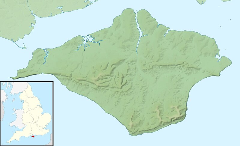
File:Isle of Wight UK relief location map.jpg

Size o this luikower: 800 × 487 pixels. Ither resolutions: 320 × 195 pixels | 640 × 390 pixels | 1,024 × 624 pixels | 1,280 × 780 pixels | 1,999 × 1,218 pixels.
Oreeginal file (1,999 × 1,218 pixels, file size: 158 KB, MIME type: image/jpeg)
File history
Clap oan ae date/time fer tae see the file aes it kithed at that time.
| Date/Time | Thummnail | Dimensions | Uiser | Comment | |
|---|---|---|---|---|---|
| current | 01:41, 29 November 2011 |  | 1,999 × 1,218 (158 KB) | Nilfanion | {{Information |Description=Relief map of the Isle of Wight, UK. Equirectangular map projection on WGS 84 datum, with N/S stretched 155% Geographic limits: *West: 1.61W *East: 1.05W *North: 50.78N *South: 50.56N |Source=[[w:Ordnance S |
Eimage airtins
The follaein pages airts tae this image:
Global file uisage
The follaein ither wikis uise this file:
- Uisage on ar.wikipedia.org
- Uisage on bg.wikipedia.org
- Uisage on ceb.wikipedia.org
- Uisage on en.wikipedia.org
- St Boniface Down
- Module:Location map/data/United Kingdom Isle of Wight/doc
- Whale Chine
- Widdick Chine
- Scratchell's Bay
- Totland Bay
- Watcombe Bay
- Bembridge Lifeboat Station
- Yarmouth Lifeboat Station
- Ryde Inshore Rescue Service
- Freshwater Bay Independent Lifeboat Station
- Sandown and Shanklin Independent Lifeboat Station
- Ryde Lifeboat Station
- Module:Location map/data/United Kingdom Isle of Wight
- Module:Location map/data/Isle of Wight
- User:KnightStryker/sandbox/Freshwater Independent Lifeboat Station
- Isle of Wight Jewish Society
- Hunny Hill
- Woodlands Vale
- Brighstone Grange Lifeboat Station
- Brook Lifeboat Station
- Atherfield Lifeboat Station
- Uisage on es.wikipedia.org
- Uisage on fr.wikipedia.org
- Uisage on ja.wikipedia.org
- Uisage on kn.wikipedia.org
- Uisage on la.wikipedia.org
- Uisage on lv.wikipedia.org
- Uisage on ml.wikipedia.org
- Uisage on ms.wikipedia.org
- Uisage on nl.wikipedia.org
- Uisage on os.wikipedia.org
- Uisage on pl.wikipedia.org
View mair global usage o this file.