File:Fukushima-ken géolocalisation.svg

Size of this PNG preview of this SVG file: 683 × 600 pixels. Ither resolutions: 273 × 240 pixels | 547 × 480 pixels | 875 × 768 pixels | 1,167 × 1,024 pixels | 2,333 × 2,048 pixels | 1,719 × 1,509 pixels.
Oreeginal file (SVG file, nominallie 1,719 × 1,509 pixels, file size: 2.99 MB)
Ootline
| Camera location | | View this and other nearby images on: OpenStreetMap |
|---|
| Descreeption |
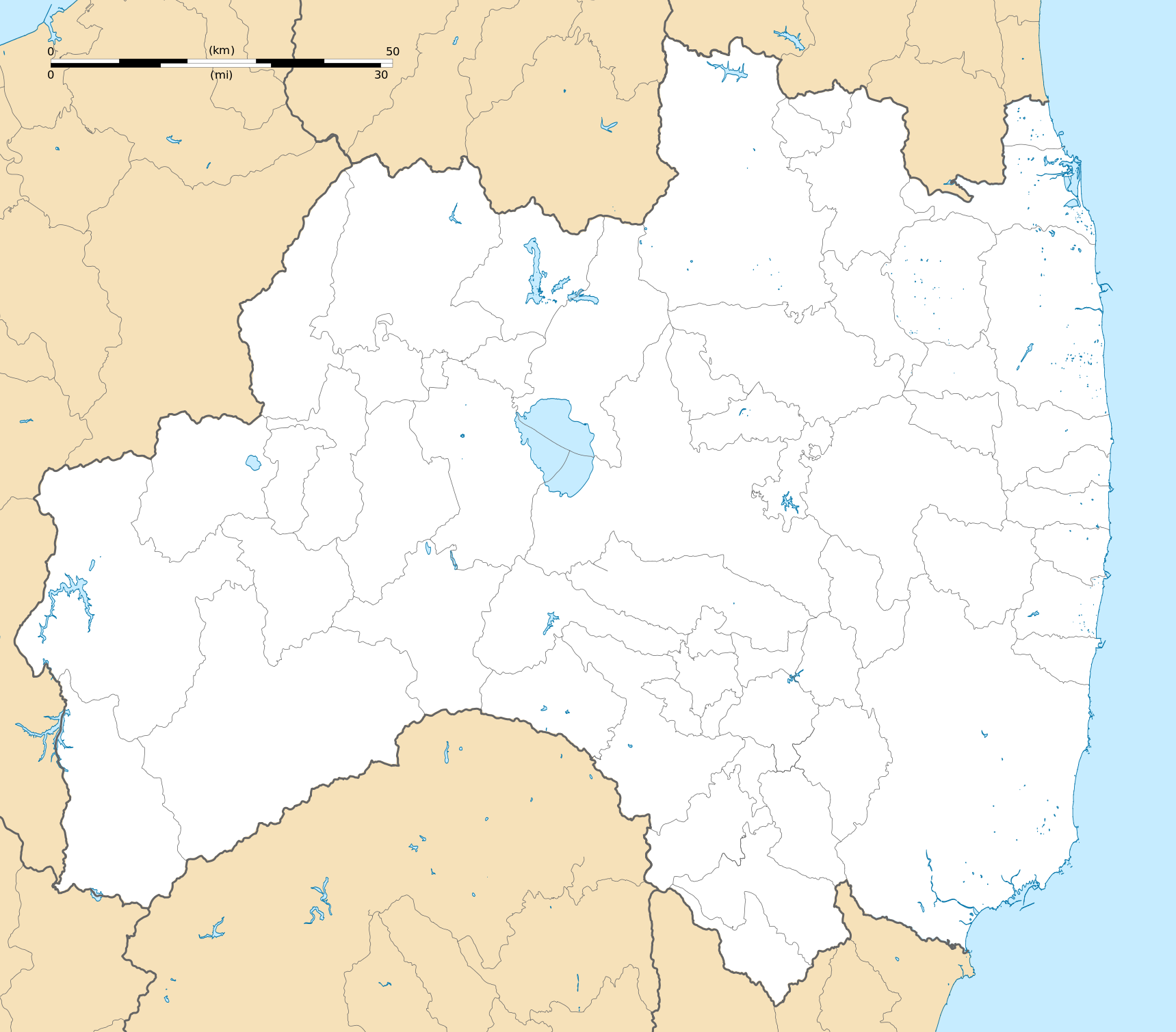
Deutsch: Karte der Präfektur Fukushima.
English: Blank map of the Fukushima Prefecture, for geolocalisation purpose.
Español: Mapa de la Prefectura de Fukushima.
Italiano: Mappa della Prefettura di Fukushima.
日本語: 福島県の地図.
한국어: 후쿠시마현의 지도이다.
Português: Carta de la província de Fukushima.
|
||
| Date | (UTC) | ||
| Soorce |
Création personnelle ;
|
||
| Author | © Bourrichon (talk) - fr:Bourrichon | ||
| Permission (Reuisin this file) |
|
||
| Other versions | File:Fukushima-ken géolocalisation relief.svg |
This W3C-unspecified vector image was created with Inkscape .
Licensin
I, the copyright holder of this work, hereby publish it under the following license:
This file is licensed under the Creative Commons Attribution-Share Alike 2.0 France license.
Attribution: Bourrichon (atelier graphique)
- Ye are free:
- tae share – tae copy, distribute an transmit the wirk
- tae remix – tae adapt the wirk
- Unner the follaein condeetions:
- attribution – Ye must attribute the wirk in the manner specified bi the author or licensor (but nae in ony way that suggests that thay endorse ye or yer uise o the wirk).
- share alik – If ye alter, transform, or big upon this wirk, ye mey distribute the resultin wirk anly unner the same or seemilar license tae this ane.

| Annotations | This image is annotated: View the annotations at Commons |
File history
Clap oan ae date/time fer tae see the file aes it kithed at that time.
| Date/Time | Thummnail | Dimensions | Uiser | Comment | |
|---|---|---|---|---|---|
| current | 15:19, 10 Julie 2013 | | 1,719 × 1,509 (2.99 MB) | Bourrichon | == {{int:filedesc}} == {{Location|37|00|00|N|140|00|00|E|scale:10000}} {{Information |Description= {{fr|Carte vierge de la fr:Préfecture de Fukushima, au Japon, destinée à la géolocalisation.}} {{de|Karte der [[:de:Präfektur F... |
Eimage airtins
The follaein pages airts tae this image:
Global file uisage
The follaein ither wikis uise this file:
- Uisage on ar.wikipedia.org
- Uisage on ceb.wikipedia.org
- Uisage on de.wikipedia.org
- Uisage on en.wikipedia.org
- Fukushima Station (Fukushima)
- Fukushima Airport
- Shin-Shirakawa Station
- Kōriyama Station (Fukushima)
- Sasakino Station
- Niwasaka Station
- Akaiwa Station
- Iwaki Station (Fukushima)
- Nakoso Station
- Yumoto Station
- Uchigō Station
- Yotsukura Station
- Hisanohama Station
- Suetsugi Station
- Ueda Station (Fukushima)
- Izumi Station (Iwaki)
- Kusano Station (Fukushima)
- Nittaki Station
- Soma Station
- Komagamine Station
- Shinchi Station
- Hirono Station (Fukushima)
- Kido Station
- Tatsuta Station
- Tomioka Station
- Yonomori Station
- Aizu-Wakamatsu Station
- Futaba Station
- Namie Station
- Momouchi Station
- Odaka Station
- Iwaki-Ōta Station
- Haranomachi Station
- Kashima Station (Fukushima)
- Ōno Station (Fukushima)
- Fukushima University
- Shirasaka Station
- Shirakawa Station
- Kutano Station
- Izumizaki Station
- Yabuki Station
- Kagamiishi Station
- Sukagawa Station
View mair global usage o this file.