File:Fidra35185.jpg
Nae heier resolution available.
Fidra35185.jpg (640 × 480 pixels, file size: 59 KB, MIME type: image/jpeg)
Ootline
| Descreeption |
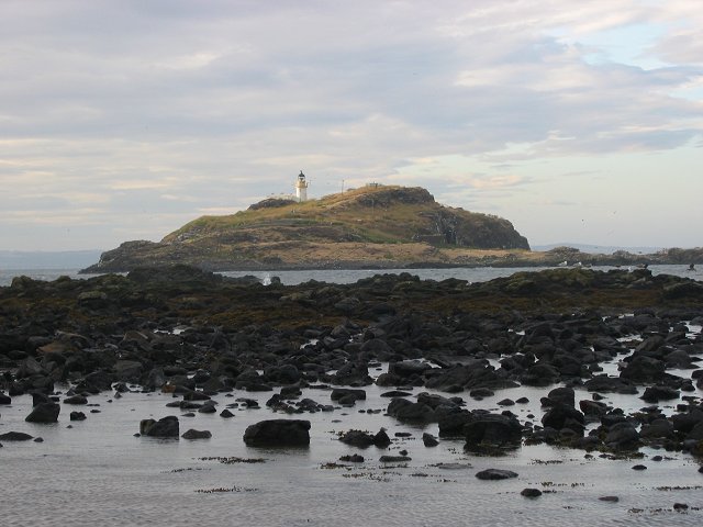
English: Fidra island near North Berwick. |
| Date | |
| Soorce | From geograph.org.uk |
| Author | Richard Webb |
| Permission (Reuisin this file) |
Creative Commons Attribution Share-alike license 2.0 |
| Object location | | View this and other nearby images on: OpenStreetMap |
|---|
_region:GB-GBN_&language=sco)
Licensin

|
This image was taken from the Geograph project collection. See this photograph's page on the Geograph website for the photographer's contact details. The copyright on this image is owned by Richard Webb and is licensed for reuse under the Creative Commons Attribution-ShareAlike 2.0 license.
|
This file is licensed under the Creative Commons Attribution-Share Alike 2.0 Generic license.
Attribution: Richard Webb
- Ye are free:
- tae share – tae copy, distribute an transmit the wirk
- tae remix – tae adapt the wirk
- Unner the follaein condeetions:
- attribution – Ye must attribute the wirk in the manner specified bi the author or licensor (but nae in ony way that suggests that thay endorse ye or yer uise o the wirk).
- share alik – If ye alter, transform, or big upon this wirk, ye mey distribute the resultin wirk anly unner the same or seemilar license tae this ane.
File history
Clap oan ae date/time fer tae see the file aes it kithed at that time.
| Date/Time | Thummnail | Dimensions | Uiser | Comment | |
|---|---|---|---|---|---|
| current | 16:54, 9 Mey 2006 | | 640 × 480 (59 KB) | Asta~commonswiki | Fidra island near North Berwick. {{geograph|35185|Richard Webb}} Category:North Berwick |
Eimage airtins
The follaein pages airts tae this image:
Global file uisage
The follaein ither wikis uise this file: