File:Disused lead mines - geograph.org.uk - 39715.jpg
Nae heier resolution available.
Disused_lead_mines_-_geograph.org.uk_-_39715.jpg (640 × 480 pixels, file size: 123 KB, MIME type: image/jpeg)
Ootline
| Descreeption |
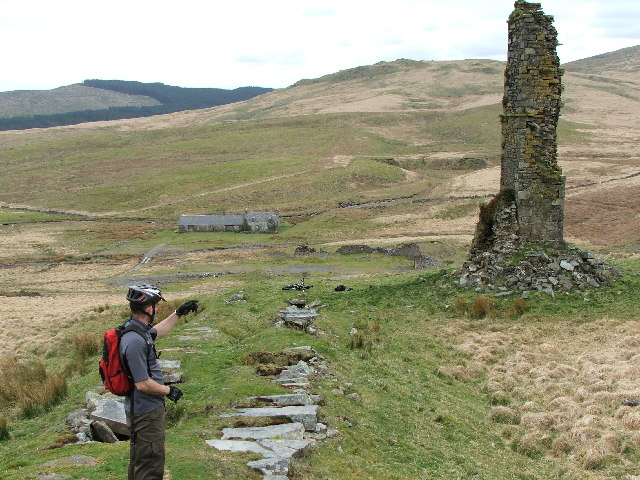
English: Disused lead mines. Chimney remains |
| Date | |
| Soorce | From geograph.org.uk |
| Author | Mark Klimek |
| Attribution (required by the license) | Mark Klimek / Disused lead mines / |
| Object location | | View this and other nearby images on: OpenStreetMap |
|---|
_&language=sco)
Licensin

|
This image was taken from the Geograph project collection. See this photograph's page on the Geograph website for the photographer's contact details. The copyright on this image is owned by Mark Klimek and is licensed for reuse under the Creative Commons Attribution-ShareAlike 2.0 license.
|
This file is licensed under the Creative Commons Attribution-Share Alike 2.0 Generic license.
Attribution: Mark Klimek
- Ye are free:
- tae share – tae copy, distribute an transmit the wirk
- tae remix – tae adapt the wirk
- Unner the follaein condeetions:
- attribution – Ye must attribute the wirk in the manner specified bi the author or licensor (but nae in ony way that suggests that thay endorse ye or yer uise o the wirk).
- share alik – If ye alter, transform, or big upon this wirk, ye mey distribute the resultin wirk anly unner the same or seemilar license tae this ane.
- Remove redundant categories and try to put this image in the most specific category/categories
- Remove this template
- The location categories are based on information from this geonames tool and this OpenStreetMap tool combined with a database. You can also have a look at this tool from mysociety.
- The topic category from Geograph was Mine (find similar images at Geograph)
File history
Clap oan ae date/time fer tae see the file aes it kithed at that time.
| Date/Time | Thummnail | Dimensions | Uiser | Comment | |
|---|---|---|---|---|---|
| current | 13:01, 30 Januar 2010 | | 640 × 480 (123 KB) | GeographBot | == {{int:filedesc}} == {{Information |description={{en|1=Disused lead mines. Chimney remains}} |date=2005-04-30 |source=From [http://www.geograph.org.uk/photo/39715 geograph.org.uk] |author=[http://www.geograph.org.uk/profile/1781 Mark Klimek] |permission |
Eimage airtins
The follaein pages airts tae this image:
Global file uisage
The follaein ither wikis uise this file:
- Uisage on en.wikipedia.org
- Uisage on www.wikidata.org