File:Denmark physical map.svg

Size of this PNG preview of this SVG file: 704 × 600 pixels. Ither resolutions: 282 × 240 pixels | 564 × 480 pixels | 902 × 768 pixels | 1,202 × 1,024 pixels | 2,404 × 2,048 pixels | 851 × 725 pixels.
Oreeginal file (SVG file, nominallie 851 × 725 pixels, file size: 379 KB)
Ootline
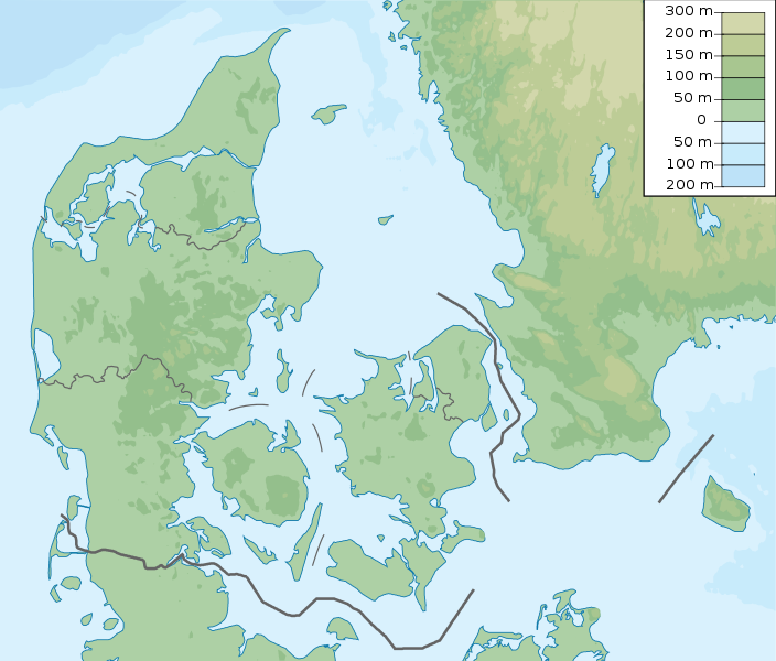
| Descreeption | Denmark physical map, parameters equal to File:Denmark location map.svg |
| Date | |
| Soorce | Ain wirk |
| Author | Urutseg |
Licensin
I, the copyright holder of this work, hereby publish it under the following license:
| This file is made available under the Creative Commons CC0 1.0 Universal Public Domain Dedication. | |
| The person who associated a work with this deed has dedicated the work to the public domain by waiving all of their rights to the work worldwide under copyright law, including all related and neighboring rights, to the extent allowed by law. You can copy, modify, distribute and perform the work, even for commercial purposes, all without asking permission.
|
File history
Clap oan ae date/time fer tae see the file aes it kithed at that time.
| Date/Time | Thummnail | Dimensions | Uiser | Comment | |
|---|---|---|---|---|---|
| current | 15:29, 25 November 2022 | | 851 × 725 (379 KB) | GrandEscogriffe | more correct north-south stretching |
| 20:51, 23 October 2013 |  | 851 × 686 (300 KB) | NordNordWest | upd | |
| 05:50, 16 Mairch 2011 |  | 852 × 689 (302 KB) | Urutseg |
Eimage airtins
The follaein pages airts tae this image:
Global file uisage
The follaein ither wikis uise this file:
- Uisage on als.wikipedia.org
- Uisage on ar.wikipedia.org
- Uisage on ast.wikipedia.org
- Uisage on azb.wikipedia.org
- Uisage on az.wikipedia.org
- Luytla-Duymun
- Streymoy
- Şablon:Yer xəritəsi Danimarka
- Yutlandiya
- Böyük Kəmər
- Skagerrak
- Kattegat
- Kiçik Kəmər
- Zelandiya (ada)
- Fyun
- Vensyossel-Ti
- Limfyord boğazı
- Amager çimərliyi
- Anholt adası
- Boqe adası
- Samsyo adası
- Myon adası
- Oryo adası
- Femyo adası
- Feyyo adası
- Boroy adası
- Kalsoy adası
- Kunoy adası
- Koltur adası
- Skuvoy adası
- Suvuroy adası
- Hestur adası
- Esturoy adası
- Qoashyolmur adası
- Tindhyolmur adası
- Sandoy adası
- Stoura-Duymun adası
- Voar adası
- Nyolsoy adası
- Svuynoy adası
- Viyoy adası
- Miçines adası
- Sumbiarstaynur
- Franklin adası (Qrenlandiya)
- Fuqloy adası
- Qrenen burnu
- Danimarka boğazları
- Bornholm
- Saltholm
View mair global usage o this file.