File:Daraa districts.png
Size o this luikower: 793 × 600 pixels. Ither resolutions: 318 × 240 pixels | 635 × 480 pixels | 1,005 × 760 pixels.
Oreeginal file (1,005 × 760 pixels, file size: 20 KB, MIME type: image/png)
Ootline
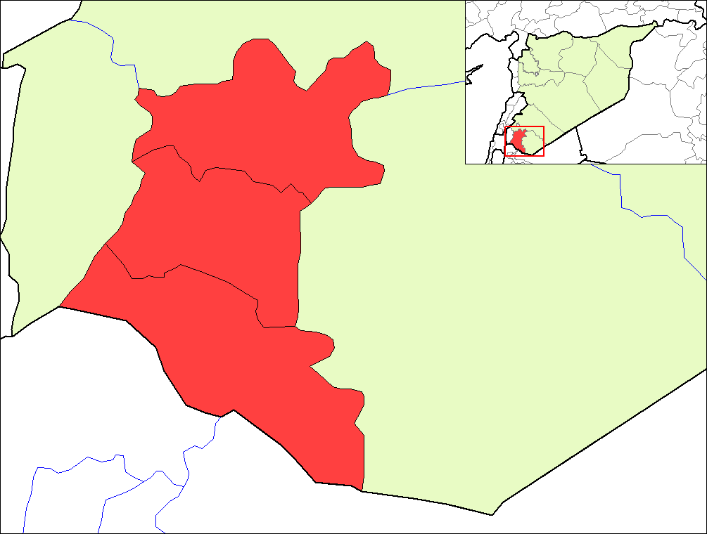
| Descreeption | Map of the districts of Daraa governorate in Syria. | ||
| Date | |||
| Soorce | Created by Rarelibra 16:23, 8 May 2007 (UTC) for public domain use, using MapInfo Professional v8.5 and various mapping resources. | ||
| Author | Rarelibra | ||
| Permission (Reuisin this file) |
|
File history
Clap oan ae date/time fer tae see the file aes it kithed at that time.
| Date/Time | Thummnail | Dimensions | Uiser | Comment | |
|---|---|---|---|---|---|
| current | 19:24, 8 Mey 2007 | | 1,005 × 760 (20 KB) | Anas Salloum | modified with permission of original author |
| 16:23, 8 Mey 2007 |  | 1,056 × 816 (20 KB) | Rarelibra | Map of the districts of Daraa governorate in Syria. Created by ~~~~ for public domain use, using MapInfo Professional v8.5 and various mapping resources. |
Eimage airtins
The'r nae pages airts tae this eimage.
Global file uisage
The follaein ither wikis uise this file:
- Uisage on az.wikipedia.org
- Uisage on ca.wikipedia.org
- Uisage on en.wikipedia.org
- Uisage on es.wikipedia.org
- Uisage on fr.wikipedia.org
- Uisage on hy.wikipedia.org
- Uisage on ru.wikipedia.org
- Uisage on sv.wikipedia.org
- Uisage on www.wikidata.org