File:Catedral Santiago Chile.jpg
Size o this luikower: 800 × 533 pixels. Ither resolutions: 320 × 213 pixels | 640 × 427 pixels | 1,024 × 683 pixels | 1,280 × 853 pixels | 2,560 × 1,707 pixels | 4,752 × 3,168 pixels.
Oreeginal file (4,752 × 3,168 pixels, file size: 7.92 MB, MIME type: image/jpeg)
Ootline
|
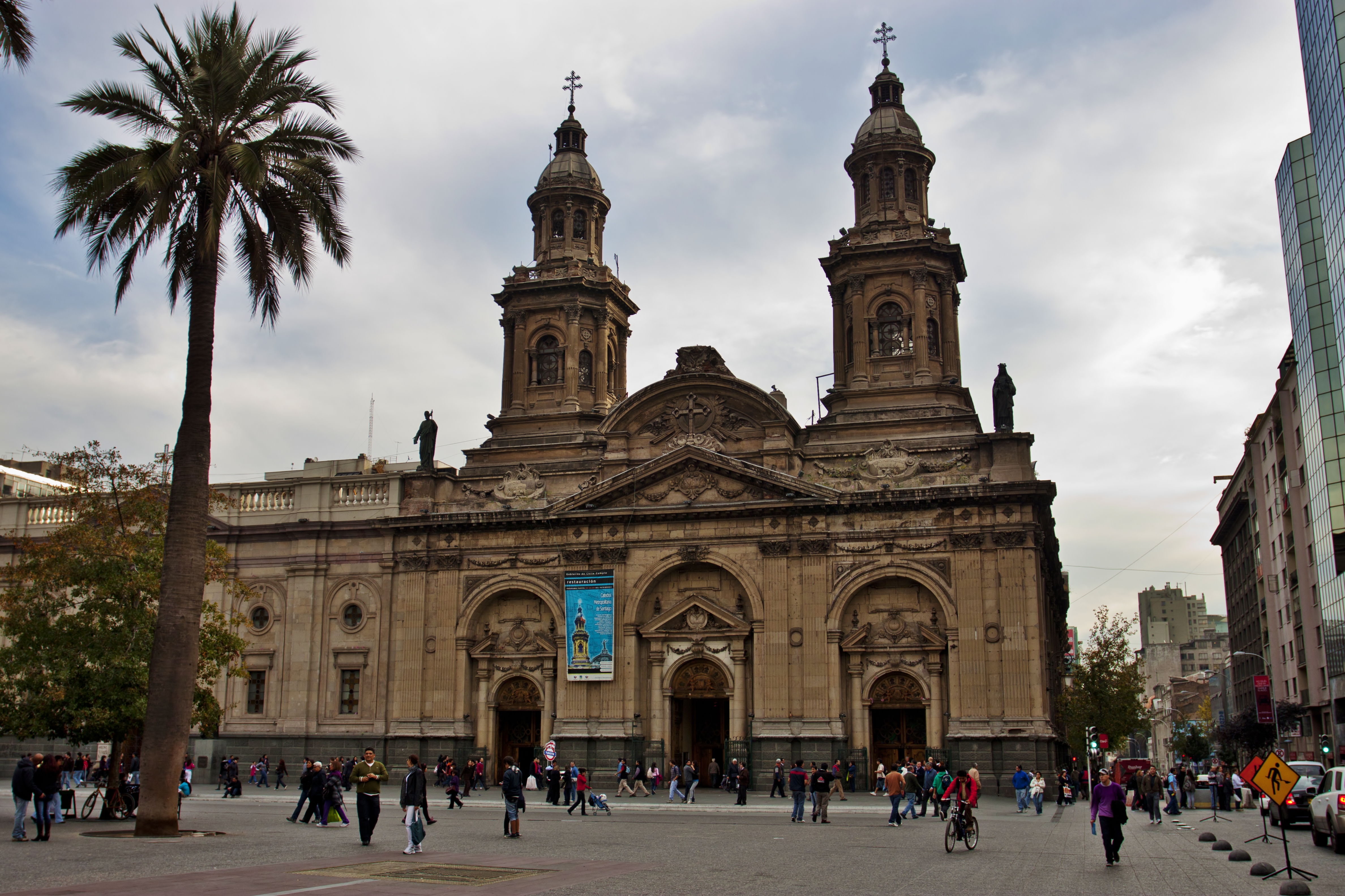
This is a photo of a national monument in Chile: 210
|
| Descreeption |
Catedral Metropolitana de Santiago.
|
| Date | |
| Soorce | IMG_1584 |
| Author | Nellu Mazilu from Mobile, Terra, Sol, Milky Way |
| Camera location | | View this and other nearby images on: OpenStreetMap |
|---|
Licensin
This file is licensed under the Creative Commons Attribution 2.0 Generic license.
- Ye are free:
- tae share – tae copy, distribute an transmit the wirk
- tae remix – tae adapt the wirk
- Unner the follaein condeetions:
- attribution – Ye must attribute the wirk in the manner specified bi the author or licensor (but nae in ony way that suggests that thay endorse ye or yer uise o the wirk).
| This image was originally posted to Flickr by Jack Zalium at https://www.flickr.com/photos/7666975@N03/5730238859. It was reviewed on 29 Mey 2011 by FlickreviewR and was confirmed to be licensed under the terms of the cc-by-2.0. |
File history
Clap oan ae date/time fer tae see the file aes it kithed at that time.
| Date/Time | Thummnail | Dimensions | Uiser | Comment | |
|---|---|---|---|---|---|
| current | 02:49, 29 Mey 2011 | | 4,752 × 3,168 (7.92 MB) | Carlos yo | {{Information |Description=Taken at Latitude/Longitude:-33.444126/-70.650750. 1.56 km North-East Santiago Región Metropolitana Chile [http://www.geonames.org/maps/google_-33.444126_-70.650750.html (Map link)] |Source=[http://www.flickr.com/photos/kaiban/ |
Eimage airtins
The'r nae pages airts tae this eimage.
Global file uisage
The follaein ither wikis uise this file:
- Uisage on en.wikipedia.org
- Uisage on id.wikipedia.org
- Uisage on it.wikipedia.org
- Uisage on ru.wikipedia.org