File:Blank map of South Europe and North Africa.svg

Size of this PNG preview of this SVG file: 800 × 473 pixels. Ither resolutions: 320 × 189 pixels | 640 × 379 pixels | 1,024 × 606 pixels | 1,280 × 757 pixels | 2,560 × 1,515 pixels | 2,050 × 1,213 pixels.
Oreeginal file (SVG file, nominallie 2,050 × 1,213 pixels, file size: 324 KB)
| Descreeption |
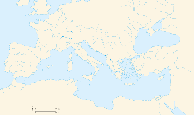
Français : Carte vierge de l'Europe du Sud et du Bassin Méditerranée dans l'Antiquité English: Blank map of South Europe and North Africa at Antic period |
||||||||
| Date | 09/08/2007 | ||||||||
| Soorce | Ain wirk | ||||||||
| Author | historicair 23:27, 8 August 2007 (UTC) | ||||||||
| Permission (Reuisin this file) |
I, the copyright holder of this work, hereby publish it under the following licenses:
This file is licensed under the Creative Commons Attribution-Share Alike 2.5 Generic, 2.0 Generic and 1.0 Generic license.
Ye mey select the license o yer choice. |
||||||||
| Other versions |
Derivative works of this file: |
||||||||
| SVG genesis |

.svg)
File history
Clap oan ae date/time fer tae see the file aes it kithed at that time.
| Date/Time | Thummnail | Dimensions | Uiser | Comment | |
|---|---|---|---|---|---|
| current | 22:58, 20 Apryle 2010 | | 2,050 × 1,213 (324 KB) | Ras67 | frame removed |
| 12:50, 9 August 2007 |  | 2,050 × 1,213 (330 KB) | Historicair | ||
| 23:27, 8 August 2007 |  | 2,050 × 1,213 (211 KB) | Historicair | {{Information |Description={{fr}}Carte vierge de l'Europe du Sud et du Bassin Méditerranée {{en}}Blank map of South Europe and North Africa |Source=Own work |Date=09/08/2007 |Author=~~~~ |Permission={{self2|GFDL|cc-by-sa-2.5,2.0,1.0}} |other_versions= } |
Eimage airtins
The'r nae pages airts tae this eimage.
Global file uisage
The follaein ither wikis uise this file:
- Uisage on de.wikipedia.org
- Uisage on el.wikipedia.org
- Uisage on fr.wikipedia.org
- Uisage on it.wikipedia.org