File:Bhutan relief location map.jpg

Oreeginal file (874 × 570 pixels, file size: 361 KB, MIME type: image/jpeg)
Ootline
| Descreeption |
Deutsch: Positionskarte von Bhutan
Quadratische Plattkarte, N-S-Streckung 115 %. Geographische Begrenzung der Karte:
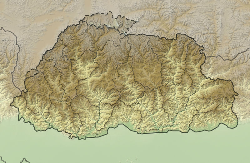
English: Location map of Bhutan
Equirectangular projection, N/S stretching 115 %. Geographic limits of the map:
|
|
| Date | ||
| Soorce |
own work, using
|
|
| Author | NordNordWest | |
| Permission (Reuisin this file) |
This file is licensed under the Creative Commons Attribution-Share Alike 3.0 Germany license.
 This file is licensed under the Creative Commons Attribution-Share Alike 3.0 Germany license.
|
|
| Other versions |
|


|
This map has been made or improved in the German Kartenwerkstatt (Map Lab). You can propose maps to improve as well.
|
File history
Clap oan ae date/time fer tae see the file aes it kithed at that time.
| Date/Time | Thummnail | Dimensions | Uiser | Comment | |
|---|---|---|---|---|---|
| current | 19:06, 2 December 2011 | | 874 × 570 (361 KB) | NordNordWest | == {{int:filedesc}} == {{Information |Description= {{de|Positionskarte von Bhutan}} Quadratische Plattkarte, N-S-Streckung 115 %. Geographische Begrenzung der Karte: * N: 28.5° N * S: 26.4° N * W: 88.6° O * O: 92.3° O {{en|Location map |
Eimage airtins
The follaein pages airts tae this image:
Global file uisage
The follaein ither wikis uise this file:
- Uisage on ar.wikipedia.org
- Uisage on ast.wikipedia.org
- Uisage on ba.wikipedia.org
- Uisage on be.wikipedia.org
- Uisage on bn.wikipedia.org
- Uisage on bs.wikipedia.org
- Uisage on ceb.wikipedia.org
- Uisage on ce.wikipedia.org
- Uisage on ckb.wikipedia.org
- Uisage on cs.wikipedia.org
- Uisage on de.wikivoyage.org
- Uisage on dsb.wikipedia.org
- Uisage on el.wikipedia.org
- Uisage on en.wikipedia.org
- Uisage on eo.wikipedia.org
- Gangkhar Puensum
- Ŝablono:Situo sur mapo Butano
- Distrikto Ĉuĥa
- Distrikto Haa
- Distrikto Paro
- Distrikto Samce
- Distrikto Timbuo
- Distrikto Lhunce
- Distrikto Mongar
- Distrikto Pemagatŝel
- Distrikto Samdrup Jongĥar
- Distrikto Traŝigang
- Distrikto Traŝijangste
- Distrikto Dagana
- Distrikto Gasa
- Distrikto Punaĥa
- Distrikto Cirang
- Distrikto Bumthang
- Distrikto Sarpang
- Distrikto Trongsa
View mair global usage o this file.