File:Aruba location map (2).svg

Size of this PNG preview of this SVG file: 607 × 599 pixels. Ither resolutions: 243 × 240 pixels | 486 × 480 pixels | 778 × 768 pixels | 1,037 × 1,024 pixels | 2,074 × 2,048 pixels | 889 × 878 pixels.
Oreeginal file (SVG file, nominallie 889 × 878 pixels, file size: 397 KB)
Ootline
| Descreeption |
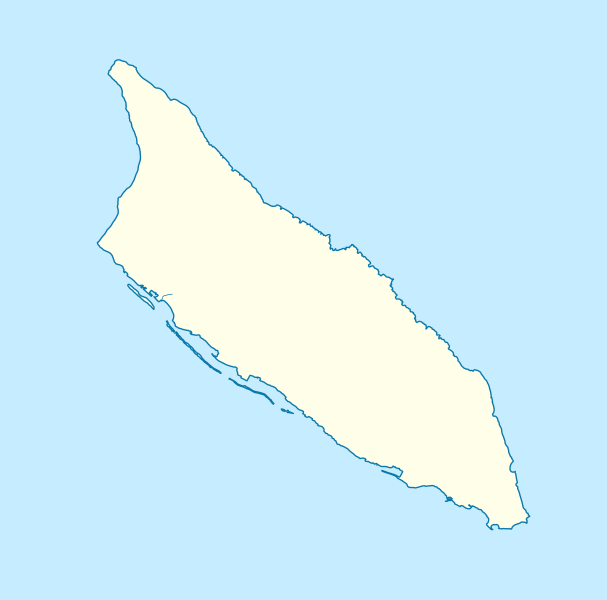
Deutsch: Positionskarte von Aruba
Mercator-Projektion. Geographische Begrenzung der Karte:
English: Location map of Aruba
Mercator projection. Geographic limits of the map:
|
| Date | |
| Soorce |
Ain wirk, using
|
| Author | Carport |
| Other versions |
|
| SVG genesis |


.svg)
Licensin
This file is licensed unner the Creative Commons Attribution-Share Alike 3.0 Unported license.
- Ye are free:
- tae share – tae copy, distribute an transmit the wirk
- tae remix – tae adapt the wirk
- Unner the follaein condeetions:
- attribution – Ye must attribute the wirk in the manner specified bi the author or licensor (but nae in ony way that suggests that thay endorse ye or yer uise o the wirk).
- share alik – If ye alter, transform, or big upon this wirk, ye mey distribute the resultin wirk anly unner the same or seemilar license tae this ane.
File history
Clap oan ae date/time fer tae see the file aes it kithed at that time.
| Date/Time | Thummnail | Dimensions | Uiser | Comment | |
|---|---|---|---|---|---|
| current | 14:33, 30 November 2012 | | 889 × 878 (397 KB) | Carport | {{Information |Description={{de|1=Positionskarte von {{w|Aruba|3=de}} {{w|Mercator-Projektion|3=de}}. Geographische Begrenzung der Karte: * N: 12.65° N * S: 12.38° N * W: 70.11° W * O: 69.83° W}} {{en|1=Location map of {{w|Aruba}} Mercator projec... |
Eimage airtins
The follaein pages airts tae this image:
Global file uisage
The follaein ither wikis uise this file:
- Uisage on an.wikipedia.org
- Uisage on ar.wikipedia.org
- Uisage on ast.wikipedia.org
- Uisage on az.wikipedia.org
- Uisage on be-tarask.wikipedia.org
- Uisage on bg.wikipedia.org
- Uisage on bn.wikipedia.org
- Uisage on bs.wikipedia.org
- Uisage on ceb.wikipedia.org
- Plantilya:Location map Aruba
- Santa Lucia
- San Nicolas
- Punta Colorado
- Ceru Pretu
- Oranjestad
- Westpunt
- Ceru Grandi
- Seroe Grandi
- Warawara
- Spaans Lagoen
- Sero Preto
- Pos Chikitu
- Noordkaap
- Lagoen
- Druif
- California (pagklaro)
- Aruba (pagklaro)
- Warawara (bukid)
- Ceru Urataca
- Turibana
- Sero Tres Cabés
- Sero Tijshi
- Rooi Thomas
- Rooi Tambú
- Rooi Taki
- Sero Sumpiña
- Sumpiña
- Rooi Spoki
- Spaans Lagoen (lanaw)
- Spaans Lagoen (luuk)
- Smal
- Sint Nicolaasbaai
- Sint Nicolaas
- Rooi Santo
- Santa Lucia (bukid)
- Tanki Sabana Grandi
View mair global usage o this file.
.svg)
.svg)