File:Afghanistan location map.svg

Size of this PNG preview of this SVG file: 800 × 589 pixels. Ither resolutions: 320 × 236 pixels | 640 × 471 pixels | 1,024 × 754 pixels | 1,280 × 943 pixels | 2,560 × 1,886 pixels | 1,807 × 1,331 pixels.
Oreeginal file (SVG file, nominallie 1,807 × 1,331 pixels, file size: 572 KB)
Ootline
| Descreeption |
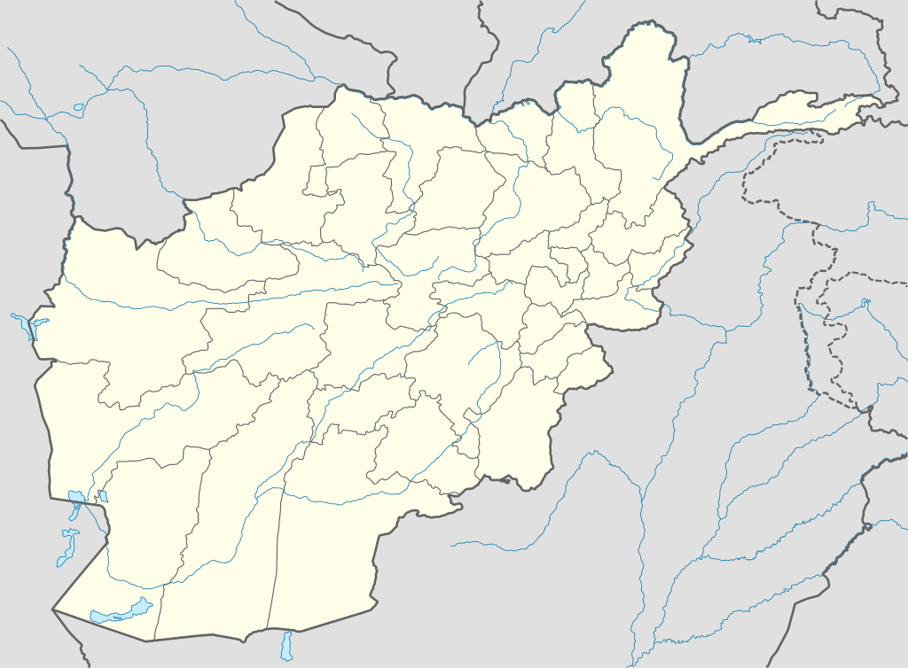
Deutsch: Positionskarte von Afghanistan
Quadratische Plattkarte, N-S-Streckung 115 %. Geographische Begrenzung der Karte:
English: Location map of Afghanistan
Equirectangular projection, N/S stretching 115 %. Geographic limits of the map:
Español: Mapa de Afganistán
Proyección equirectangular, Escala N-S 115 %. Límites geogáficos:
|
| Date | |
| Soorce |
own work, using
|
| Author | NordNordWest |

|
This map has been made or improved in the German Kartenwerkstatt (Map Lab). You can propose maps to improve as well.
|
Licensin
I, the copyright holder of this work, hereby publish it under the following licenses:

|
Permission is grantit tae copy, distribute an/or modify this document unner the terms o the GNU Free Documentation License, Version 1.2 or ony later version published bi the Free Software Foundation; wi no Invariant Sections, no Front-Cover Texts, an no Back-Cover Texts. A copy o the license is includit in the section enteetled GNU Free Documentation License. |
This file is licensed unner the Creative Commons Attribution-Share Alike 3.0 Unported license.
- Ye are free:
- tae share – tae copy, distribute an transmit the wirk
- tae remix – tae adapt the wirk
- Unner the follaein condeetions:
- attribution – Ye must attribute the wirk in the manner specified bi the author or licensor (but nae in ony way that suggests that thay endorse ye or yer uise o the wirk).
- share alik – If ye alter, transform, or big upon this wirk, ye mey distribute the resultin wirk anly unner the same or seemilar license tae this ane.
Ye mey select the license o yer choice.
File history
Clap oan ae date/time fer tae see the file aes it kithed at that time.
| Date/Time | Thummnail | Dimensions | Uiser | Comment | |
|---|---|---|---|---|---|
| current | 19:59, 9 October 2009 | | 1,807 × 1,331 (572 KB) | NordNordWest | |
| 19:27, 11 August 2009 |  | 1,809 × 1,335 (355 KB) | NordNordWest | ||
| 12:11, 14 September 2008 |  | 1,809 × 1,335 (360 KB) | NordNordWest | {{Information |Description= {{de|Positionskarte von Afghanistan}} Quadratische Plattkarte, N-S-Streckung 115 %. Geographische Begrenzung der Karte: * N: 38.8° N * S: 29.0° N * W: 60.0° O * O: 75.3° O {{en|Location map of [[:en:Afgh |
Eimage airtins
The follaein pages airts tae this image:
Global file uisage
The follaein ither wikis uise this file:
- Uisage on af.wikipedia.org
- Uisage on als.wikipedia.org
- Uisage on ar.wikipedia.org
- أبو سليمان الخطابي
- سنجين
- قالب:خريطة مواقع أفغانستان
- تفجير كابول يوليو 2016
- هجوم معسكر شاهين (أبريل 2017)
- هجوم على قرية ميرزا أولانغ
- هجوم على مسجدين في كابول وغور أكتوبر 2017
- تفجير كابول الانتحاري أغسطس 2018
- تفجير كابول الانتحاري مارس 2018
- هجوم كابل سبتمبر 2018
- تفجير كابل نوفمبر 2016
- تفجير مسجد كابل 2019
- قائمة السدود والخزانات في أفغانستان
- تفجير كابل الانتحاري أكتوبر 2020
- Uisage on azb.wikipedia.org
- Uisage on az.wikipedia.org
- Kabil
- Bəlx (şəhər)
- Qəndəhar
- Herat
- Məzari-Şərif
- Qarabağ (Əfqanıstan)
- Səngçaraq
- Şablon:Yer xəritəsi Əfqanıstan
- Bazərgan (Əfqanıstan)
- Bamiyan Budda heykəlləri
- Giro vulusvalisi
- Saləng
- Darul Aman sarayı
- Almar vulusvalisi
- Xani Çarbağ vulusvalisi
- Zərənc
- Cam minarəsi
- Bartanq çayı
- Cəlalabad (Əfqanıstan)
- Ləşgərgah
- Puli-Xümri
- Bəğlan (şəhər)
- Ay Xanım
View mair global usage o this file.