File:World map indicating tropics and subtropics.png
Size o this luikower: 800 × 447 pixels. Ither resolutions: 320 × 179 pixels | 640 × 357 pixels | 1,024 × 572 pixels | 1,280 × 715 pixels | 2,000 × 1,117 pixels.
Oreeginal file (2,000 × 1,117 pixels, file size: 131 KB, MIME type: image/png)
Ootline
| Descreeption |
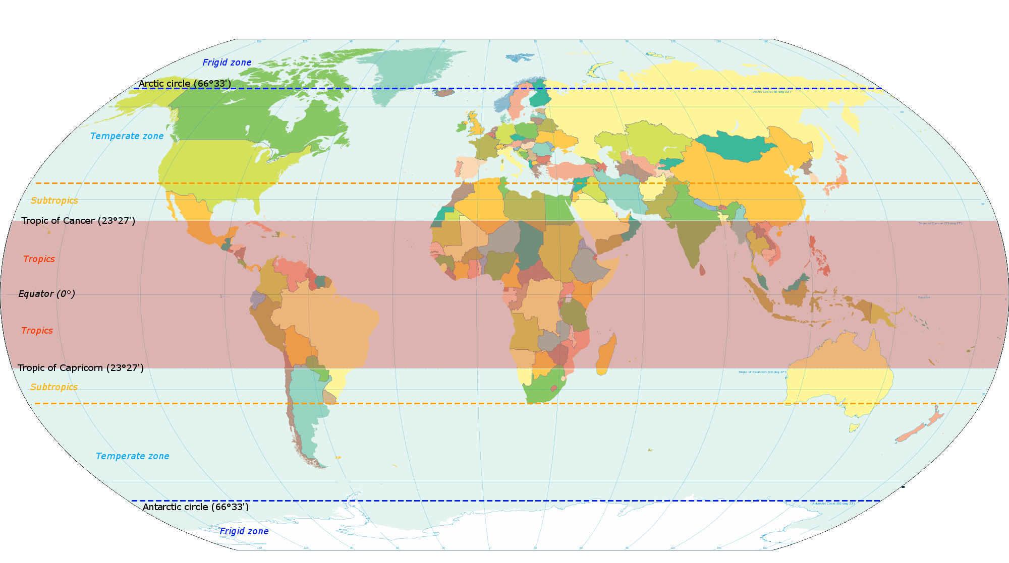
English: Map based on File:World map torrid.svg, now indicating subtropics. Map was made by closely examining this map to get latitude accurately correct. |
| Date | |
| Soorce | Ain wirk |
| Author | KVDP |
Licensin
I, the copyright holder of this work, hereby publish it under the following license:
This file is licensed unner the Creative Commons Attribution-Share Alike 3.0 Unported license.
- Ye are free:
- tae share – tae copy, distribute an transmit the wirk
- tae remix – tae adapt the wirk
- Unner the follaein condeetions:
- attribution – Ye must attribute the wirk in the manner specified bi the author or licensor (but nae in ony way that suggests that thay endorse ye or yer uise o the wirk).
- share alik – If ye alter, transform, or big upon this wirk, ye mey distribute the resultin wirk anly unner the same or seemilar license tae this ane.
File history
Clap oan ae date/time fer tae see the file aes it kithed at that time.
| Date/Time | Thummnail | Dimensions | Uiser | Comment | |
|---|---|---|---|---|---|
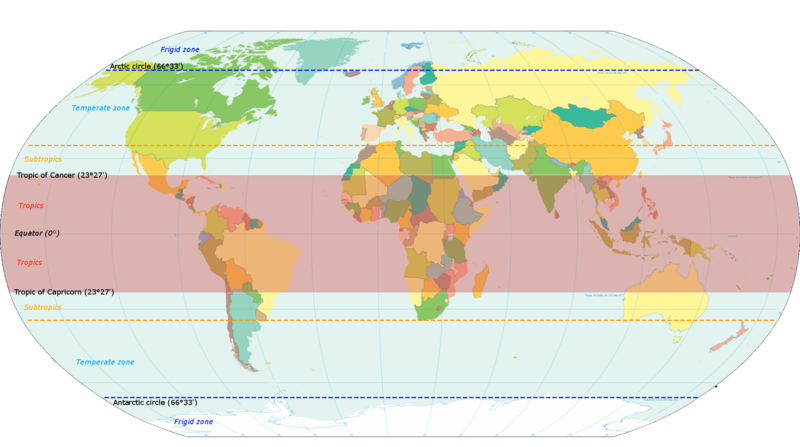
| current | 18:13, 13 Mairch 2014 | | 2,000 × 1,117 (131 KB) | Genetics4good | Reverted to version as of 10:31, 20 November 2013 |
| 18:09, 13 Mairch 2014 |  | 2,000 × 1,117 (465 KB) | Genetics4good | Reverted to version as of 06:44, 23 July 2013 | |
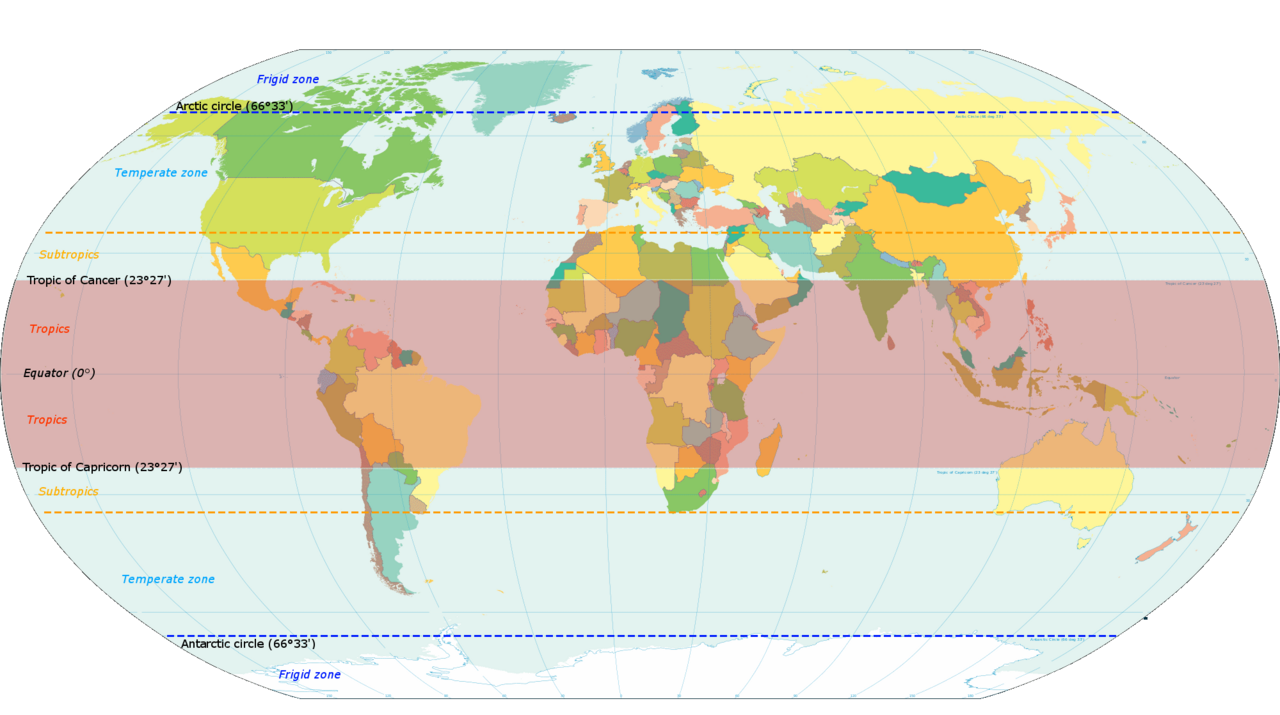
| 10:31, 20 November 2013 |  | 2,000 × 1,117 (131 KB) | Maproom | My fourth attempt. I am making a real mess of this. | |
| 18:46, 19 November 2013 |  | 2,000 × 1,117 (131 KB) | Maproom | A third attempt, with the corrections AND the transparency this time, I hope. | |
| 10:28, 13 November 2013 |  | 2,000 × 1,117 (131 KB) | Maproom | Restored background transparency, which I had accidentally removed | |
| 10:23, 13 November 2013 |  | 2,000 × 1,117 (422 KB) | Maproom | Removed labels "68" on two lines of latitude - the lines are in the right position (as limits of subtropical zone), but are not at 68 north and south. Added a "c" to "Antarctic". | |
| 06:44, 23 Julie 2013 |  | 2,000 × 1,117 (465 KB) | Genetics4good | Added temperate and frigid zone | |
| 15:53, 22 Julie 2013 |  | 2,000 × 1,117 (452 KB) | Genetics4good | User created page with UploadWizard |
Eimage airtins
The follaein pages airts tae this image:
Global file uisage
The follaein ither wikis uise this file:
- Uisage on ar.wikipedia.org
- Uisage on arz.wikipedia.org
- Uisage on bg.wikipedia.org
- Uisage on bh.wikipedia.org
- Uisage on bn.wikipedia.org
- Uisage on ca.wikipedia.org
- Uisage on en.wikipedia.org
- Uisage on en.wikiversity.org
- Uisage on en.wikivoyage.org
- Uisage on en.wiktionary.org
- Uisage on fi.wikipedia.org
- Uisage on fi.wiktionary.org
- Uisage on ga.wikipedia.org
- Uisage on gv.wikipedia.org
- Uisage on ha.wikipedia.org
- Uisage on he.wikivoyage.org
- Uisage on id.wikipedia.org
- Uisage on ilo.wikipedia.org
- Uisage on ms.wikipedia.org
- Uisage on my.wikipedia.org
- Uisage on ro.wikipedia.org
- Uisage on sd.wikipedia.org
- Uisage on sr.wikipedia.org
- Uisage on su.wikipedia.org
- Uisage on th.wikipedia.org
- Uisage on tr.wikipedia.org
- Uisage on ur.wikipedia.org
- Uisage on war.wikipedia.org
- Uisage on www.wikidata.org
- Uisage on zh-yue.wikipedia.org
- Uisage on zh.wikipedia.org