File:Voru municipalities.png

Size o this luikower: 776 × 600 pixels. Ither resolutions: 311 × 240 pixels | 621 × 480 pixels | 994 × 768 pixels | 1,056 × 816 pixels.
Oreeginal file (1,056 × 816 pixels, file size: 33 KB, MIME type: image/png)

|
File:Võrumaa vallad.svg is a vector version o this file. It should be uised in place o this raster image when nae inferior.
File:Voru municipalities.png → File:Võrumaa vallad.svg
For mair information, see Help:SVG. |
 |
Ootline
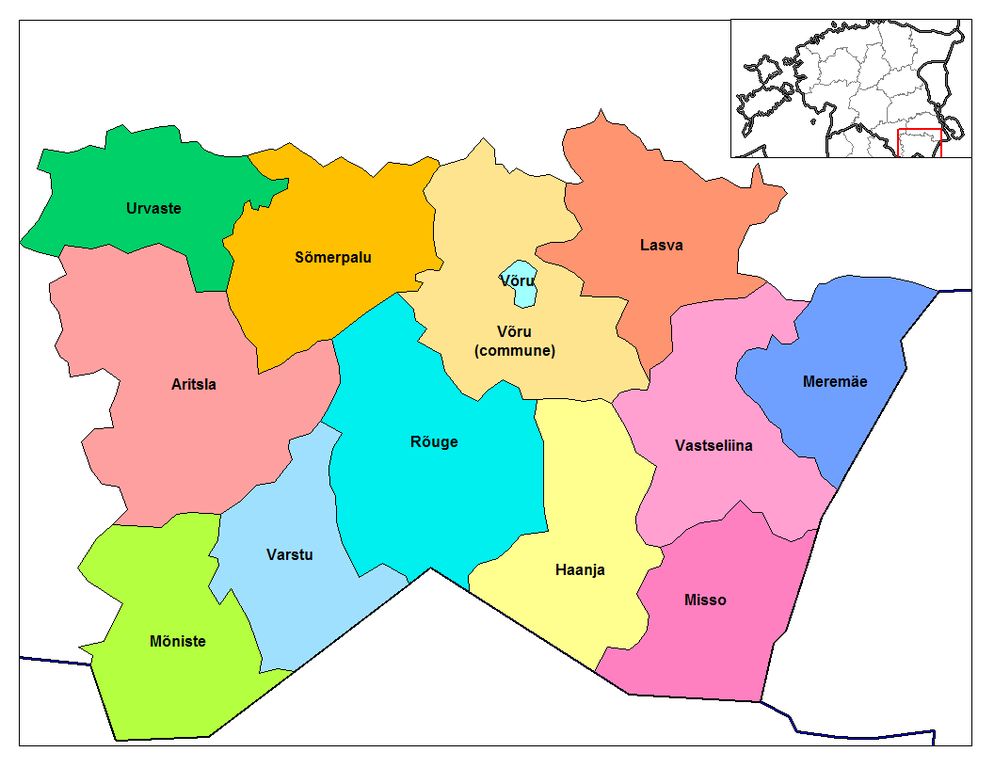
Map of the municipalities of Voru county in Estonia. Created by Rarelibra 17:36, 22 December 2006 (UTC) for public domain use, using MapInfo Professional v8.5 and various mapping resources.
Licensin
| I, the copyright holder of this work, release this work into the public domain. This applies worldwide. In some countries this may not be legally possible; if so: I grant anyone the right to use this work for any purpose, without any conditions, unless such conditions are required by law. |
File history
Clap oan ae date/time fer tae see the file aes it kithed at that time.
| Date/Time | Thummnail | Dimensions | Uiser | Comment | |
|---|---|---|---|---|---|
| current | 17:36, 22 December 2006 | | 1,056 × 816 (33 KB) | Rarelibra | Map of the municipalities of Voru county in Estonia. Created by ~~~~ for public domain use, using MapInfo Professional v8.5 and various mapping resources. |
Eimage airtins
The follaein pages airts tae this image:
Global file uisage
The follaein ither wikis uise this file:
- Uisage on ba.wikipedia.org
- Uisage on en.wikipedia.org
- Uisage on es.wikipedia.org
- Uisage on fi.wikipedia.org
- Uisage on fr.wikipedia.org
- Uisage on gl.wikipedia.org
- Uisage on it.wikipedia.org
- Uisage on ka.wikipedia.org
- Uisage on nn.wikipedia.org
- Uisage on no.wikipedia.org
- Uisage on pt.wikipedia.org
- Uisage on ro.wikipedia.org
- Uisage on ru.wikipedia.org
- Uisage on sr.wikipedia.org
- Uisage on uk.wikipedia.org