File:USA Tennessee location map.svg

Size of this PNG preview of this SVG file: 800 × 475 pixels. Ither resolutions: 320 × 190 pixels | 640 × 380 pixels | 1,024 × 608 pixels | 1,280 × 759 pixels | 2,560 × 1,519 pixels | 1,800 × 1,068 pixels.
Oreeginal file (SVG file, nominallie 1,800 × 1,068 pixels, file size: 1.16 MB)
Ootline
| Descreeption |
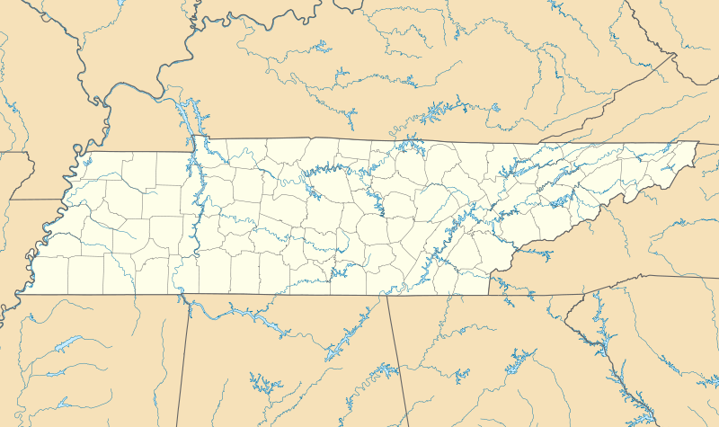
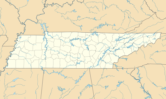
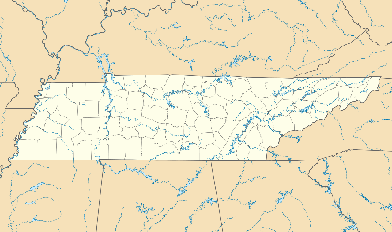
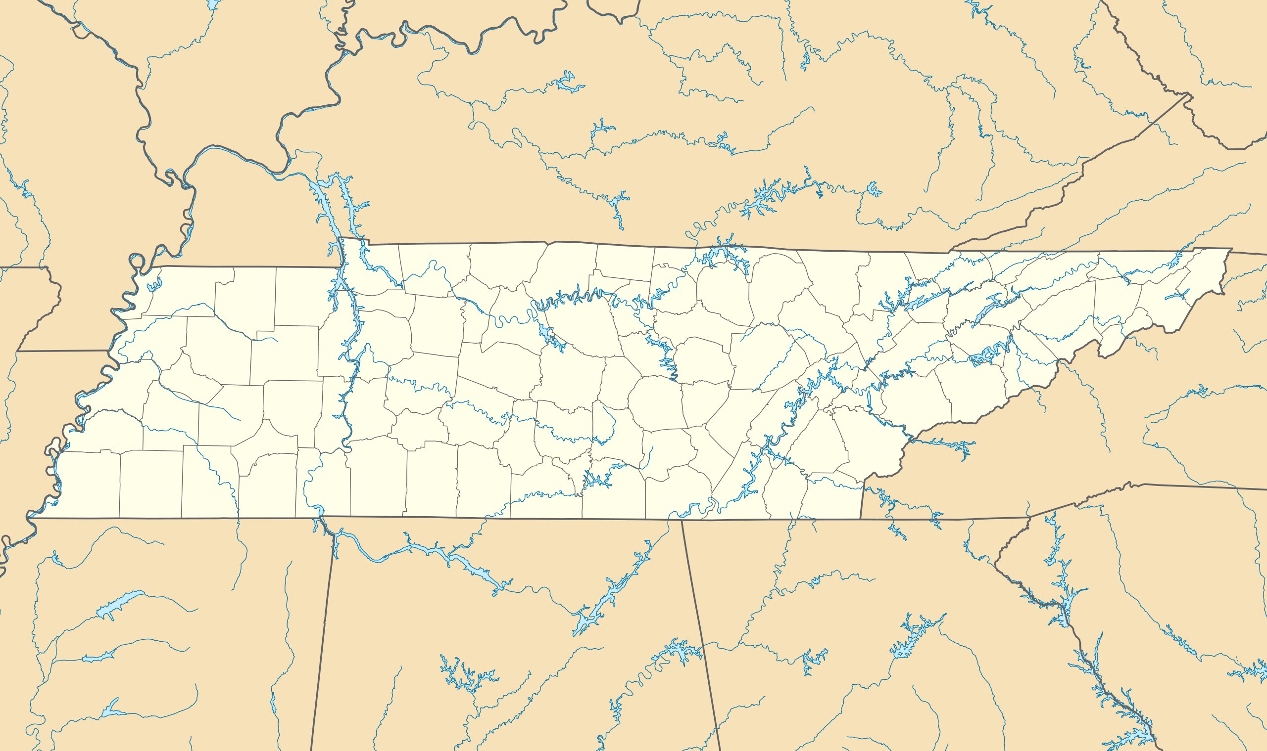
Quadratische Plattkarte, N-S-Streckung 120.0 %. Geographische Begrenzung der Karte:
Equirectangular projection, N/S stretching 120.0 %. Geographic limits of the map:
|
| Date | |
| Soorce | Ain wirk |
| Author | Alexrk |
| Other versions |
Derivative works of this file: BMO Harris Bank 2012-06.png Derivative works of this file: |

|
This map has been made or improved in the German Kartenwerkstatt (Map Lab). You can propose maps to improve as well.
|
Licensin
I, the copyright holder of this work, hereby publish it under the following licenses:

|
Permission is grantit tae copy, distribute an/or modify this document unner the terms o the GNU Free Documentation License, Version 1.2 or ony later version published bi the Free Software Foundation; wi no Invariant Sections, no Front-Cover Texts, an no Back-Cover Texts. A copy o the license is includit in the section enteetled GNU Free Documentation License. |
This file is licensed under the Creative Commons Attribution 3.0 Unported license.
- Ye are free:
- tae share – tae copy, distribute an transmit the wirk
- tae remix – tae adapt the wirk
- Unner the follaein condeetions:
- attribution – Ye must attribute the wirk in the manner specified bi the author or licensor (but nae in ony way that suggests that thay endorse ye or yer uise o the wirk).
Ye mey select the license o yer choice.
File history
Clap oan ae date/time fer tae see the file aes it kithed at that time.
| Date/Time | Thummnail | Dimensions | Uiser | Comment | |
|---|---|---|---|---|---|
| current | 10:17, 20 Juin 2009 | | 1,800 × 1,068 (1.16 MB) | Alexrk2 | page ratio, water bodies |
| 16:00, 13 Juin 2009 | 1,500 × 415 (246 KB) | Alexrk | == Beschreibung == {{Information |Description= {{de|Positionskarte von Tennessee, USA}} Quadratische Plattkarte, N-S-Streckung 120.0 %. Geographische Begrenzung der Karte: * N: 36.9° N * S: 34.8° N * W: 90.5° W * O: 81.4° |
Eimage airtins
The follaein pages airts tae this image:
Global file uisage
The follaein ither wikis uise this file:
- Uisage on af.wikipedia.org
- Uisage on an.wikipedia.org
- Uisage on ar.wikipedia.org
- Uisage on azb.wikipedia.org
- آرکیدیا، تنسی
- کازبی، تنسی
- داردن، تنسی
- ترید، تنسی
- دل ریو، تنسی
- لنکستر، تنسی
- اپلتن، تنسی
- الموود، تنسی
- الندیل، تنسی
- باتلر، تنسی
- برانزویک، تنسی
- بلفاست، تنسی
- بوئنا ویستا، تنسی
- بیق راک، تنسی
- بیکرویل، تنسی
- بیکول، تنسی
- چستنات هیل، تنسی
- دراموندز، تنسی
- فراترویل، تنسی
- فروتویل، تنسی
- فری هیل، تنسی
- کاریتون، تنسی
- کراکت میلز، تنسی
- کونکورد، تنسی
- نیملس، تنسی
- هابرشام، تنسی
- هالز، کراسرود، تنسی
- همپتون، تنسی
- هیلتاون، تنسی
- یام یام، تنسی
- قریمزلی، تنسی
- ویرز ولی، تنسی
- بلکمن، تنسی
- آفتون، تنسی
- سویت لیپس، تنسی
- مورفرزبورو، تنسی
- تافت، تنسی
- آلدر برانچ، تنسی
- تالبوت، تنسی
- تالاسی، تنسی
- کوتونتوون، تنسی
- آلکساندریا، تنسی
- والکرتوون، تنسی
- والاند، تنسی
- والینق، تنسی
View mair global usage o this file.