File:USA Kentucky location map.svg

Size of this PNG preview of this SVG file: 800 × 520 pixels. Ither resolutions: 320 × 208 pixels | 640 × 416 pixels | 1,024 × 666 pixels | 1,280 × 832 pixels | 2,560 × 1,665 pixels | 1,501 × 976 pixels.
Oreeginal file (SVG file, nominallie 1,501 × 976 pixels, file size: 823 KB)
Ootline
| Descreeption |
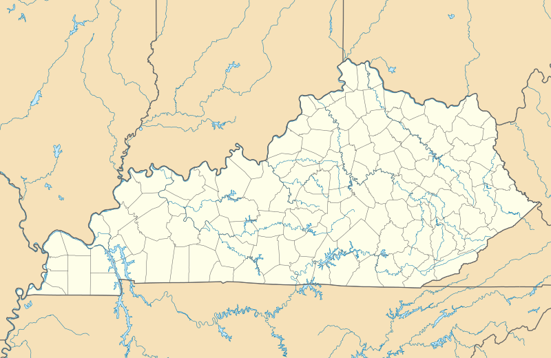
Quadratische Plattkarte, N-S-Streckung 130.0 %. Geographische Begrenzung der Karte:
Equirectangular projection, N/S stretching 130.0 %. Geographic limits of the map:
|
| Date | |
| Soorce | Ain wirk |
| Author | Alexrk2 |
| Other versions |
Derivative works of this file: BMO Harris Bank 2012-06.png Derivative works of this file: |

|
This map has been made or improved in the German Kartenwerkstatt (Map Lab). You can propose maps to improve as well.
|
Licensin
I, the copyright holder of this work, hereby publish it under the following licenses:

|
Permission is grantit tae copy, distribute an/or modify this document unner the terms o the GNU Free Documentation License, Version 1.2 or ony later version published bi the Free Software Foundation; wi no Invariant Sections, no Front-Cover Texts, an no Back-Cover Texts. A copy o the license is includit in the section enteetled GNU Free Documentation License. |
This file is licensed under the Creative Commons Attribution 3.0 Unported license.
- Ye are free:
- tae share – tae copy, distribute an transmit the wirk
- tae remix – tae adapt the wirk
- Unner the follaein condeetions:
- attribution – Ye must attribute the wirk in the manner specified bi the author or licensor (but nae in ony way that suggests that thay endorse ye or yer uise o the wirk).
Ye mey select the license o yer choice.
File history
Clap oan ae date/time fer tae see the file aes it kithed at that time.
| Date/Time | Thummnail | Dimensions | Uiser | Comment | |
|---|---|---|---|---|---|
| current | 14:45, 3 September 2009 | | 1,501 × 976 (823 KB) | Alexrk2 | == Beschreibung == {{Information |Description= {{de|Positionskarte von Kentucky, USA}} Quadratische Plattkarte, N-S-Streckung 130.0 %. Geographische Begrenzung der Karte: * N: 39.8° N * S: 35.8° N * W: 89.8° W * O: 81.8° W |
Eimage airtins
The follaein pages airts tae this image:
Global file uisage
The follaein ither wikis uise this file:
- Uisage on af.wikipedia.org
- Uisage on an.wikipedia.org
- Uisage on ar.wikipedia.org
- Uisage on ast.wikipedia.org
- Uisage on azb.wikipedia.org
- سنتر، کنتاکی
- وستوود، بوید کانتی، کنتاکی
- تولو، کنتاکی
- قریسی، کنتاکی
- آقزیئر، کنتاکی
- ماقنولیا، کنتاکی
- بافالو، کنتاکی
- میکینق، کنتاکی
- دیابلاک، کنتاکی
- املین، کنتاکی
- سالویستا، کنتاکی
- چاپلین، کنتاکی
- بندانا، کنتاکی
- آنیدا، کنتاکی
- چریوود ویلیج سینت متیوز، کنتاکی
- برود فیلدز، سنت متیوز، کنتاکی
- پتفورک، کنتاکی
- اسپرینقلی، سنت متیوز، کنتاکی
- فیرمید، سنت متیوز، کنتاکی
- بتسی لین، کانتاکی
- سامرزویل، کنتاکی
- پاین قپ، کنتاکی
- جف، کنتاکی
- کنویر، کنتاکی
- میدز، کنتاکی
- دکستر، کنتاکی
- هیزل قرین، کنتاکی
- مانکیز آیبرو، کنتاکی
- بارنت اسپرینقز، کنتاکی
- پلزنت ویو،کنتاکی
- قلن فورک، کنتاکی
- سامر شید، کنتاکی
- فلت لیک، کنتاکی
- جنتریز میل، کنتاکی
- دانبار هیل، کنتاکی
- فیترزبورق، کنتاکی
- هاردی، کنتاکی
- مایز لیک، کنتاکی
- بلو مون، کنتاکی
- کیسی کریک، کنتاکی
- دنور، کنتاکی
View mair global usage o this file.