File:Sweden Scania location map.svg

Size of this PNG preview of this SVG file: 663 × 600 pixels. Ither resolutions: 265 × 240 pixels | 531 × 480 pixels | 849 × 768 pixels | 1,132 × 1,024 pixels | 2,263 × 2,048 pixels | 2,039 × 1,845 pixels.
Oreeginal file (SVG file, nominallie 2,039 × 1,845 pixels, file size: 185 KB)
Ootline
| Descreeption |
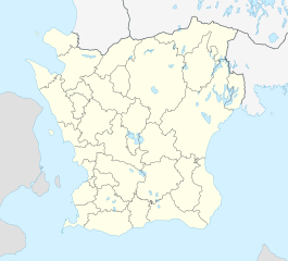
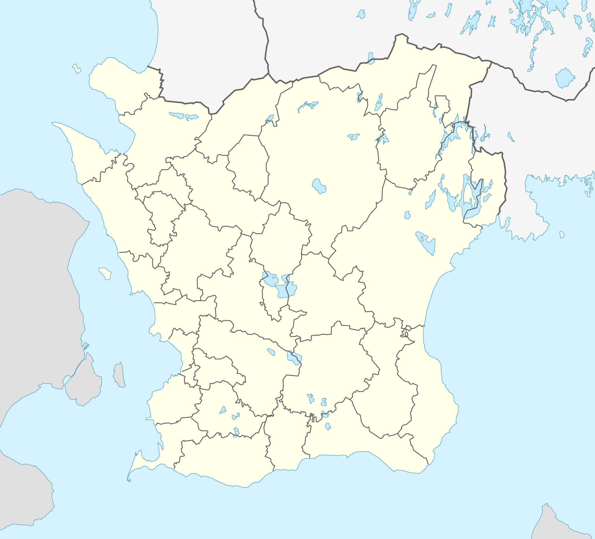
English: Location map of Scania (Skåne) in Sweden
Equirectangular projection, N/S stretching 179 %. Geographic limits of the map:
Deutsch: Positionskarte von Schonen in Schweden
Quadratische Plattkarte, N-S-Streckung 179 %. Geographische Begrenzung der Karte:
|
| Date | |
| Soorce | Ain wirk |
| Author | Erik Frohne |
| Other versions |
|
| SVG genesis |

Licensin
I, the copyright holder of this work, hereby publish it under the following licenses:

|
Permission is grantit tae copy, distribute an/or modify this document unner the terms o the GNU Free Documentation License, Version 1.2 or ony later version published bi the Free Software Foundation; wi no Invariant Sections, no Front-Cover Texts, an no Back-Cover Texts. A copy o the license is includit in the section enteetled GNU Free Documentation License. |
This file is licensed under the Creative Commons Attribution 3.0 Unported license.
- Ye are free:
- tae share – tae copy, distribute an transmit the wirk
- tae remix – tae adapt the wirk
- Unner the follaein condeetions:
- attribution – Ye must attribute the wirk in the manner specified bi the author or licensor (but nae in ony way that suggests that thay endorse ye or yer uise o the wirk).
Ye mey select the license o yer choice.
File history
Clap oan ae date/time fer tae see the file aes it kithed at that time.
| Date/Time | Thummnail | Dimensions | Uiser | Comment | |
|---|---|---|---|---|---|
| current | 17:01, 3 Februar 2017 | | 2,039 × 1,845 (185 KB) | Silverkey | Fix municipality lines |
| 08:56, 27 Januar 2009 |  | 2,039 × 1,845 (172 KB) | Erik Frohne | Adjusted waterline | |
| 14:35, 20 Januar 2009 |  | 2,039 × 1,845 (172 KB) | Erik Frohne | Size-Upgrade and added some lakes Category:Location maps of Sweden | |
| 14:16, 6 Januar 2009 |  | 276 × 266 (109 KB) | Erik Frohne | {{Information |Description=Update to fit the coordinates (hopefully this should be now right) |Source= |Date= |Author= |Permission= |other_versions= }} Category:Location Maps of Sweden | |
| 13:54, 6 Januar 2009 |  | 276 × 250 (109 KB) | Erik Frohne | {{Information |Description= |Source= |Date= |Author= |Permission= |other_versions= }} Category:Location Maps of Sweden | |
| 12:03, 6 Januar 2009 |  | 276 × 212 (109 KB) | Erik Frohne | {{Information |Description= |Source= |Date= |Author= |Permission= |other_versions= }} Category:Location Maps of Sweden | |
| 23:58, 5 Januar 2009 |  | 750 × 574 (117 KB) | Erik Frohne | {{Information |Description= |Source= |Date= |Author= |Permission= |other_versions= }} Category:Location Maps of Sweden | |
| 23:41, 5 Januar 2009 |  | 750 × 574 (117 KB) | Erik Frohne | {{Information |Description={{en|1=Location map of Scania (Skåne) in Sweden Equirectangular projection, N/S stretching 190 %. Geographic limits of the map: * N: 56° 37' N * S: 55° 12' N * W: 12° 12' E * E: 15° 00' E }} {{de|1=Positionskarte von Schon |
Eimage airtins
The follaein pages airts tae this image:
Global file uisage
The follaein ither wikis uise this file:
- Uisage on ar.wikipedia.org
- Uisage on azb.wikipedia.org
- Uisage on bg.wikipedia.org
- Uisage on ceb.wikipedia.org
- Uisage on cs.wikipedia.org
- Uisage on da.wikipedia.org
- Lund (Sverige)
- Ystad
- Borgeby slot
- Malmø
- Skanør-Falsterbo
- Landskrona slot
- Helsingborg
- Uppåkra
- Landskrona
- Kristianstad
- Trelleborg (Sverige)
- Kernen
- Kivik-graven
- Ales sten
- Glimmingehus
- Torsjö
- Mölle
- Eslöv
- Trolleholm slot
- Knutstorp borg
- Tosterup slot
- Torup slot
- Häckeberga slot
- Bollerup borg
- Krapperup slot
- Bjuv
- Billesholm borgruin
- Kulla Gunnarstorp slot
- Ljungbyhed
- Romeleåsen
- Dalby (Skåne)
- Ugerup
- Ladonia
- Vä
- Bosjökloster
- Örup slot
- Båstad
- Hässleholm
- Søderåsen
- Skarhult slott
- Övedskloster
- Tommarps kloster
View mair global usage o this file.