File:Sudan location map.svg

Size of this PNG preview of this SVG file: 684 × 600 pixels. Ither resolutions: 274 × 240 pixels | 548 × 480 pixels | 876 × 768 pixels | 1,168 × 1,024 pixels | 2,336 × 2,048 pixels | 1,654 × 1,450 pixels.
Oreeginal file (SVG file, nominallie 1,654 × 1,450 pixels, file size: 249 KB)
Ootline
| Descreeption |
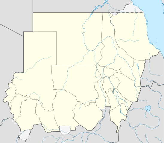
Deutsch: Positionskarte von Sudan
Quadratische Plattkarte, N-S-Streckung 103 %. Geographische Begrenzung der Karte:
English: Location map of Sudan
Equirectangular projection, N/S stretching 103 %. Geographic limits of the map:
|
| Date | |
| Soorce |
Ain wirk, using
|
| Author | NordNordWest |
| Permission (Reuisin this file) |
I, the copyright holder of this work, hereby publish it under the following license: This file is licensed unner the Creative Commons Attribution-Share Alike 3.0 Unported license.
|
| Other versions |
Derivative works of this file: Sudan location map Topographic.png
|

_location_map.svg)

|
This map has been made or improved in the German Kartenwerkstatt (Map Lab). You can propose maps to improve as well.
|
File history
Clap oan ae date/time fer tae see the file aes it kithed at that time.
| Date/Time | Thummnail | Dimensions | Uiser | Comment | |
|---|---|---|---|---|---|
| current | 06:17, 28 Juin 2017 | | 1,654 × 1,450 (249 KB) | SUM1 | Updated as per 2013 Kurdufan reform |
| 10:52, 25 Januar 2013 |  | 1,654 × 1,450 (245 KB) | NordNordWest | upd | |
| 20:46, 16 August 2011 |  | 1,654 × 1,450 (258 KB) | Spesh531 | fixing opacity | |
| 20:43, 16 August 2011 |  | 1,654 × 1,450 (258 KB) | Spesh531 | fixing the borders | |
| 20:32, 16 August 2011 |  | 1,654 × 1,450 (258 KB) | Spesh531 | adding a disputed territory | |
| 19:21, 21 Juin 2011 |  | 1,654 × 1,450 (241 KB) | NordNordWest | upd | |
| 13:17, 10 Februar 2011 |  | 1,654 × 1,450 (240 KB) | NordNordWest | update, new Sudan | |
| 18:16, 26 Juin 2010 |  | 1,654 × 1,956 (392 KB) | NordNordWest | upd | |
| 16:23, 22 September 2009 |  | 1,654 × 1,956 (650 KB) | NordNordWest | ||
| 19:17, 16 September 2009 |  | 1,654 × 1,956 (607 KB) | NordNordWest | =={{int:filedesc}}== {{Information |Description= {{de|Positionskarte von Sudan, '''Vorversion'''}} Quadratische Plattkarte, N-S-Streckung 103 %. Geographische Begrenzung der Karte: * N: 23.3° N * S: 3.2° N * W: 21.5° O * O: 39.0° O {{en| |
Eimage airtins
The follaein pages airts tae this image:
Global file uisage
The follaein ither wikis uise this file:
- Uisage on ace.wikipedia.org
- Uisage on af.wikipedia.org
- Uisage on am.wikipedia.org
- Uisage on ar.wikipedia.org
- Uisage on av.wikipedia.org
- Uisage on az.wikipedia.org
- Uisage on be-tarask.wikipedia.org
- Uisage on be.wikipedia.org
- Uisage on bg.wikipedia.org
- Uisage on bs.wikipedia.org
- Uisage on ce.wikipedia.org
- Uisage on ckb.wikipedia.org
- Uisage on cs.wikipedia.org
View mair global usage o this file.