File:South banat.png
Size o this luikower: 709 × 599 pixels. Ither resolutions: 284 × 240 pixels | 568 × 480 pixels | 841 × 711 pixels.
Oreeginal file (841 × 711 pixels, file size: 59 KB, MIME type: image/png)
| Descreeption |
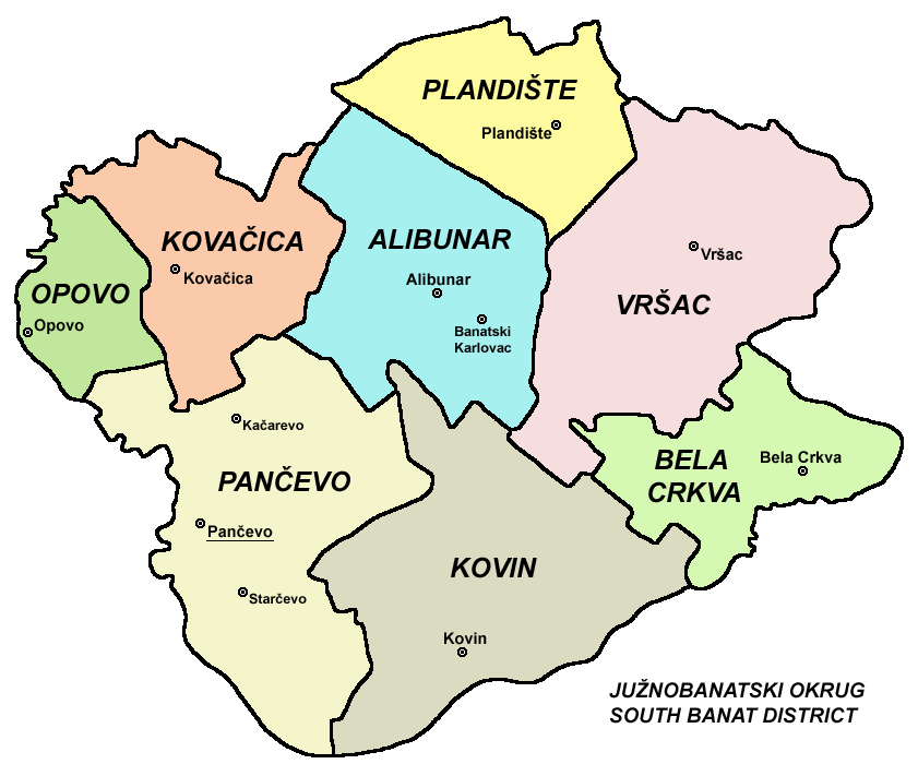
English: Map of South Banat District.
Српски / srpski: Мапа Јужнобанатског округа.
Čeština: Mapa Jihobanátského okruhu. |
||
| Date | 14 December 2005 (original upload date) | ||
| Soorce |
|
||
| Author | The original uploader was PANONIAN at Inglis Wikipaedia. | ||
| Permission (Reuisin this file) |
|
References
- Slobodan Radovanović, Geografski atlas, Magic Map, Smederevska Palanka, 2001.
- Školski geografski atlas, Intersistem Kartografija, Beograd, 2004.
- Denis Šehić - Demir Šehić, Geografski atlas Srbije, Beograd, 2007.
- Popis stanovništva, domaćinstava i stanova u 2002., Stanovništvo, nacionalna ili etnička pripadnost - Podaci po naseljima, knjiga 1, Republika Srbija - Republički zavod za statistiku, Beograd, februar 2003.
Original upload log
The original description page was here. All following user names refer to en.wikipedia.
- 2005-12-14 13:27 PANONIAN 637×564×8 (13598 bytes)
File history
Clap oan ae date/time fer tae see the file aes it kithed at that time.
| Date/Time | Thummnail | Dimensions | Uiser | Comment | |
|---|---|---|---|---|---|
| current | 08:51, 14 September 2009 | | 841 × 711 (59 KB) | PANONIAN | Reverted to version as of 21:31, 13 September 2009 - thumbnail problem with new version, trying to fix |
| 08:50, 14 September 2009 |  | 637 × 564 (13 KB) | PANONIAN | Reverted to version as of 11:40, 19 February 2008 - thumbnail problem with new version, trying to fix | |
| 21:31, 13 September 2009 |  | 841 × 711 (59 KB) | PANONIAN | ||
| 11:40, 19 Februar 2008 |  | 637 × 564 (13 KB) | File Upload Bot (Magnus Manske) | {{BotMoveToCommons|en.wikipedia}} {{Information |Description={{en|map of en:South Banat District (self made) en:Category:Maps of Vojvodina}} |Source=Transferred from [http://en.wikipedia.org en.wikipedia]; Transfer was stated to be made by [[U |
Eimage airtins
The follaein pages airts tae this image:
Global file uisage
The follaein ither wikis uise this file:
- Uisage on ca.wikipedia.org
- Uisage on de.wikipedia.org
- Uisage on en.wikipedia.org
- Uisage on es.wikipedia.org
- Uisage on gl.wikipedia.org
- Uisage on hr.wikipedia.org
- Uisage on ja.wikipedia.org
- Uisage on ko.wikipedia.org
- Uisage on sr.wikipedia.org