File:Relief map of USA Alaska.png
Nae heier resolution available.
Relief_map_of_USA_Alaska.png (776 × 580 pixels, file size: 693 KB, MIME type: image/png)
Ootline
| Descreeption |
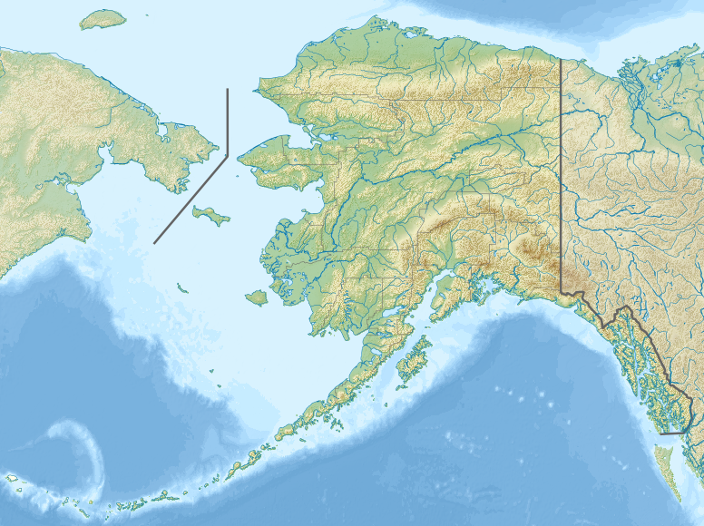
Русский: Физическая карта Аляски.
Equirectangular projection, N/S stretching 210.0 %. Geographic limits of the map:
|
| Date | |
| Soorce |
|
| Author | Nzeemin |
| Other versions |
|

- Derivative works of this file: Attu Island-HEB.jpg
- Derivative works of this file: Rat Islands-HEB.jpg
- Derivative works of this file: Agattu Island-HEB.jpg
Licensin
I, the copyright holder of this work, hereby publish it under the following license:
This file is licensed unner the Creative Commons Attribution-Share Alike 3.0 Unported license.
- Ye are free:
- tae share – tae copy, distribute an transmit the wirk
- tae remix – tae adapt the wirk
- Unner the follaein condeetions:
- attribution – Ye must attribute the wirk in the manner specified bi the author or licensor (but nae in ony way that suggests that thay endorse ye or yer uise o the wirk).
- share alik – If ye alter, transform, or big upon this wirk, ye mey distribute the resultin wirk anly unner the same or seemilar license tae this ane.
File history
Clap oan ae date/time fer tae see the file aes it kithed at that time.
| Date/Time | Thummnail | Dimensions | Uiser | Comment | |
|---|---|---|---|---|---|
| current | 18:33, 20 November 2012 | | 776 × 580 (693 KB) | Nzeemin | User created page with UploadWizard |
Eimage airtins
The follaein pages airts tae this image:
Global file uisage
The follaein ither wikis uise this file:
- Uisage on als.wikipedia.org
- Uisage on ar.wikipedia.org
- Uisage on ast.wikipedia.org
- Uisage on avk.wikipedia.org
- Uisage on azb.wikipedia.org
- Uisage on az.wikipedia.org
- Şablon:Yer xəritəsi Amerika Birləşmiş Ştatları Alyaska
- Müqəddəs Lourens adası
- Çukot dənizi
- Aleut adaları
- Novarupta dağı
- Uels Şahzadəsi (Alyaska)
- Mitkov adası
- Nunivak adası
- Kruzenştern
- Unalaşka adası
- Kosebu körfəzi
- Amaknak adası
- Poa adası
- Amak adası
- Sanak adası
- Sedanka adası
- Unalqa adası
- Akutan adası
- Amukta adası
- Siquan adası
- Çaqulak adası
- Yunaska adası
- Herbert adası
- Karlayl adası
- Uliaqa adası
- Amatiqnak adası
- Qorelı adası
- Ulak adası
- Aqliqadak adası
- Aziak adası
- Amlia adası
- Anaqaksik adası
- Umak adası
- Böyük Sitkin adası
View mair global usage o this file.