File:Outline Map of Stavropol Krai.svg

Size of this PNG preview of this SVG file: 512 × 397 pixels. Ither resolutions: 310 × 240 pixels | 619 × 480 pixels | 991 × 768 pixels | 1,280 × 993 pixels | 2,560 × 1,985 pixels.
Oreeginal file (SVG file, nominallie 512 × 397 pixels, file size: 190 KB)
Ootline
| Descreeption |
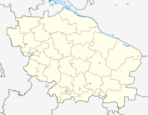
Русский: Позиционная карта Ставропольского края
|top = 46.4 |bottom = 43.5 |left = 40.6 |right = 45.9 |
| Date | |
| Soorce |
Ain wirk This W3C-unspecified vector image was created with Inkscape .
|
| Author | Виктор В |
| Other versions |
[] |


Licensin
This file is licensed under the Creative Commons Attribution-Share Alike 2.0 Generic license.
- Ye are free:
- tae share – tae copy, distribute an transmit the wirk
- tae remix – tae adapt the wirk
- Unner the follaein condeetions:
- attribution – Ye must attribute the wirk in the manner specified bi the author or licensor (but nae in ony way that suggests that thay endorse ye or yer uise o the wirk).
- share alik – If ye alter, transform, or big upon this wirk, ye mey distribute the resultin wirk anly unner the same or seemilar license tae this ane.
File history
Clap oan ae date/time fer tae see the file aes it kithed at that time.
| Date/Time | Thummnail | Dimensions | Uiser | Comment | |
|---|---|---|---|---|---|
| current | 04:18, 7 September 2010 | | 512 × 397 (190 KB) | Виктор В | ошибся... |
| 04:17, 7 September 2010 |  | 512 × 397 (190 KB) | Виктор В | исправления | |
| 15:39, 2 September 2010 |  | 512 × 397 (187 KB) | Виктор В | == {{int:filedesc}} == {{Information |Description={{ru|1=Позиционная карта Ставропольского края *Проекция — равноугольная. *Стандартная параллель — 45°00′00″с.ш. *Па� |
Eimage airtins
The follaein pages airts tae this image:
Global file uisage
The follaein ither wikis uise this file:
- Uisage on af.wikipedia.org
- Uisage on ar.wikipedia.org
- Uisage on azb.wikipedia.org
- Uisage on ba.wikipedia.org
- Uisage on be.wikipedia.org
- Uisage on bg.wikipedia.org
- Uisage on bs.wikipedia.org
- Uisage on ceb.wikipedia.org
- Uisage on ce.wikipedia.org
- Ставрополь
- Будённовск
- Георгиевск
- Благодарни
- Изобильни (Изобильнин кӀошт)
- Ипатово (Ставрополан мохк)
- Новопавловск
- Михайловск (Ставрополан мохк)
- Зеленокумск
- Минвод
- Нефтекумск
- Новоалександровск
- Светлоград
- Пятигорск
- Ессентуки
- Кисловодск
- Железноводск
- Садови (Александровскан кӀошт)
- Харьковски (Александровскан кӀошт)
View mair global usage o this file.