File:Ob watershed.png
Size o this luikower: 600 × 600 pixels. Ither resolutions: 240 × 240 pixels | 480 × 480 pixels | 988 × 988 pixels.
Oreeginal file (988 × 988 pixels, file size: 295 KB, MIME type: image/png)
Ootline
| Descreeption |
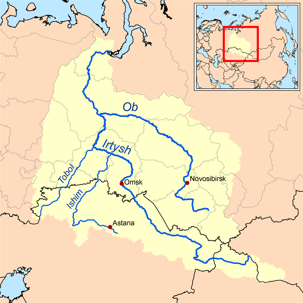
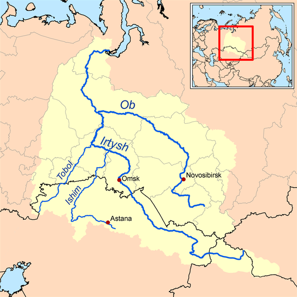
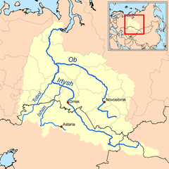
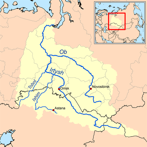
English: This is a map of the Ob River Watershed (at the confluence with the Irtysh river). Created based on USGS data. |
| Date | |
| Soorce | Ain wirk |
| Author | Karl Musser |
Licensin
I, the copyright holder of this work, hereby publish it under the following license:
This file is licensed under the Creative Commons Attribution-Share Alike 2.5 Generic license.
- Ye are free:
- tae share – tae copy, distribute an transmit the wirk
- tae remix – tae adapt the wirk
- Unner the follaein condeetions:
- attribution – Ye must attribute the wirk in the manner specified bi the author or licensor (but nae in ony way that suggests that thay endorse ye or yer uise o the wirk).
- share alik – If ye alter, transform, or big upon this wirk, ye mey distribute the resultin wirk anly unner the same or seemilar license tae this ane.
File history
Clap oan ae date/time fer tae see the file aes it kithed at that time.
| Date/Time | Thummnail | Dimensions | Uiser | Comment | |
|---|---|---|---|---|---|
| current | 13:37, 26 October 2013 | | 988 × 988 (295 KB) | Ras67 | cropped, opt. |
| 16:36, 16 September 2008 |  | 1,000 × 1,000 (380 KB) | Kmusser | new and improved | |
| 18:12, 10 Apryle 2006 |  | 300 × 300 (18 KB) | Kmusser | This is a map of the Ob River Watershed. I, Karl Musser, created it based on USGS data. {{GFDL}} Category:Maps of rivers |
Eimage airtins
The follaein pages airts tae this image:
Global file uisage
The follaein ither wikis uise this file:
- Uisage on af.wikipedia.org
- Uisage on ar.wikipedia.org
- Uisage on ast.wikipedia.org
- Uisage on azb.wikipedia.org
- Uisage on be.wikipedia.org
- Uisage on bn.wikipedia.org
- Uisage on ca.wikipedia.org
- Uisage on cs.wikipedia.org
- Uisage on cy.wikipedia.org
- Uisage on da.wikipedia.org
- Uisage on de.wikipedia.org
- Uisage on el.wikipedia.org
- Uisage on en.wikipedia.org
- Uisage on eo.wikipedia.org
- Uisage on es.wikipedia.org
- Uisage on fa.wikipedia.org
View mair global usage o this file.