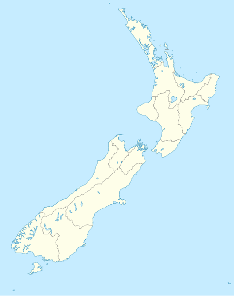
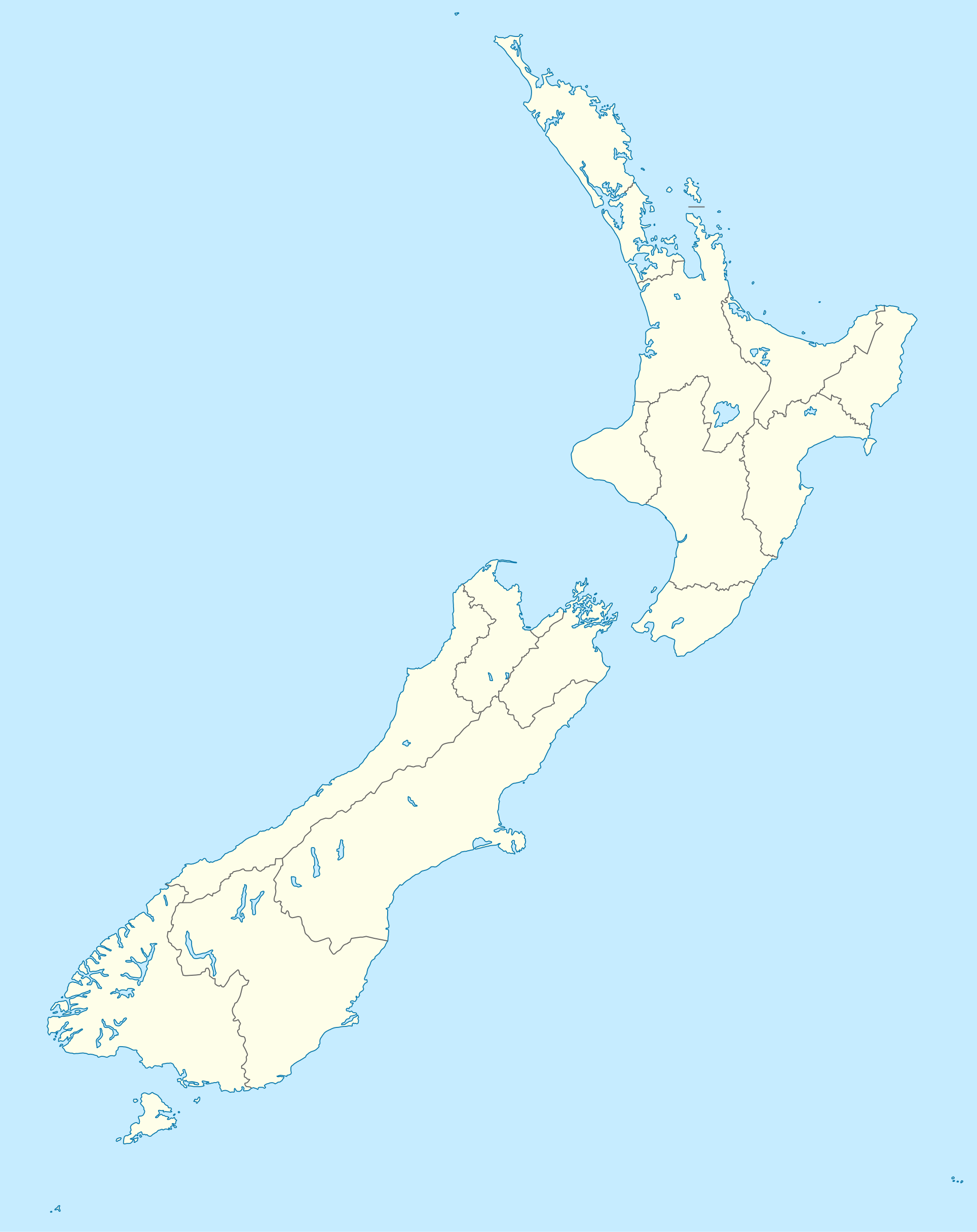
File:New Zealand location map.svg

Size of this PNG preview of this SVG file: 475 × 599 pixels. Ither resolutions: 190 × 240 pixels | 380 × 480 pixels | 609 × 768 pixels | 812 × 1,024 pixels | 1,623 × 2,048 pixels | 1,928 × 2,432 pixels.
Oreeginal file (SVG file, nominallie 1,928 × 2,432 pixels, file size: 220 KB)
Ootline
| Descreeption |
Deutsch: Positionskarte von Neuseeland
Quadratische Plattkarte, N-S-Streckung 120 %. Geographische Begrenzung der Karte:
English: Location map of New Zealand
Equirectangular projection, N/S stretching 120 %. Geographic limits of the map:
Svenska: Plats karta över Nya Zeeland
Equirectangular projektion, N/S sträcker sig 120%. Geografiska gränser för kartan:
|
||
| Date | |||
| Soorce |
own work, using
|
||
| Author | NordNordWest | ||
| Other versions |
Derivative works of this file: |
||
| SVG genesis |
|

Licensin
I, the copyright holder of this work, hereby publish it under the following licenses:

|
Permission is grantit tae copy, distribute an/or modify this document unner the terms o the GNU Free Documentation License, Version 1.2 or ony later version published bi the Free Software Foundation; wi no Invariant Sections, no Front-Cover Texts, an no Back-Cover Texts. A copy o the license is includit in the section enteetled GNU Free Documentation License. |
This file is licensed unner the Creative Commons Attribution-Share Alike 3.0 Unported license.
- Ye are free:
- tae share – tae copy, distribute an transmit the wirk
- tae remix – tae adapt the wirk
- Unner the follaein condeetions:
- attribution – Ye must attribute the wirk in the manner specified bi the author or licensor (but nae in ony way that suggests that thay endorse ye or yer uise o the wirk).
- share alik – If ye alter, transform, or big upon this wirk, ye mey distribute the resultin wirk anly unner the same or seemilar license tae this ane.
Ye mey select the license o yer choice.
File history
Clap oan ae date/time fer tae see the file aes it kithed at that time.
| Date/Time | Thummnail | Dimensions | Uiser | Comment | |
|---|---|---|---|---|---|
| current | 16:05, 18 Julie 2023 | | 1,928 × 2,432 (220 KB) | NordNordWest | Auckland corr |
| 17:15, 13 August 2009 |  | 1,928 × 2,432 (376 KB) | NordNordWest | ||
| 20:22, 2 September 2008 |  | 1,928 × 2,432 (376 KB) | NordNordWest | {{Information |Description= {{de|Positionskarte von Neuseeland}} Quadratische Plattkarte, N-S-Streckung 120 %. Geographische Begrenzung der Karte: * N: 34.0° S * S: 48.3° S * W: 165.8° O * O: 179.4° O {{en|Location map of [[:en:New |
Eimage airtins
The follaein pages airts tae this image:
Global file uisage
The follaein ither wikis uise this file:
- Uisage on af.wikipedia.org
- Uisage on als.wikipedia.org
- Uisage on an.wikipedia.org
- Plantilla:Mapa de localización Nueva Zelanda
- Auckland
- Queenstown (Nueva Zelanda)
- Arrowtown
- Rotorua
- Wanaka
- Matamata
- Mount Cook Village
- Christchurch
- Cambridge (Nueva Zelanda)
- Lake Tekapo
- Sky Tower (Auckland)
- Nelson (Nueva Zelanda)
- Tarras
- Te Anau
- Geraldine (Nueva Zelanda)
- Cardrona (Nueva Zelanda)
- Puent d'a badía d'Auckland
- Seu d'a Santisma Trinidat d'Auckland
- Seu de Cartón de Christchurch
- Puent penchau d'a foz d'o Kawarau
- Seu de Christchurch
- Seu d'o Santísmo Sacramento de Christchurch
- Wellington
- Uisage on ar.wikipedia.org
View mair global usage o this file.