File:Mexico map, MX-YUC.svg

Size of this PNG preview of this SVG file: 800 × 544 pixels. Ither resolutions: 320 × 218 pixels | 640 × 435 pixels | 1,024 × 696 pixels | 1,280 × 870 pixels | 2,560 × 1,741 pixels | 1,000 × 680 pixels.
Oreeginal file (SVG file, nominallie 1,000 × 680 pixels, file size: 267 KB)
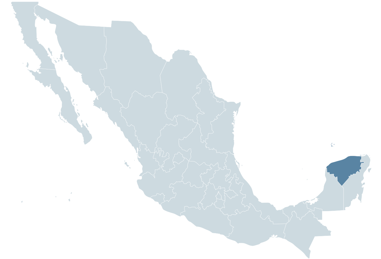
| Descreeption | Locator map for the state of Yucatán within Mexico. |
| Date | 04-07-2007 |
| Soorce | Mexico States blank map.svg by Yavidaxiu and Sémhur |
| Author | Lokal_Profil |

|
Permission is grantit tae copy, distribute an/or modify this document unner the terms o the GNU Free Documentation License, Version 1.2 or ony later version published bi the Free Software Foundation; wi no Invariant Sections, no Front-Cover Texts, an no Back-Cover Texts. A copy o the license is includit in the section enteetled GNU Free Documentation License. |
File history
Clap oan ae date/time fer tae see the file aes it kithed at that time.
| Date/Time | Thummnail | Dimensions | Uiser | Comment | |
|---|---|---|---|---|---|
| current | 00:54, 29 Januar 2010 | | 1,000 × 680 (267 KB) | Addicted04 | Reverted to version as of 01:28, 29 September 2009 |
| 23:52, 17 November 2009 |  | 1,000 × 680 (123 KB) | Addicted04 | Reverted to version as of 19:50, 19 November 2007 | |
| 01:28, 29 September 2009 |  | 1,000 × 680 (267 KB) | Addicted04 | States borders | |
| 19:50, 19 November 2007 |  | 1,000 × 680 (123 KB) | El bart089 | updated version, based on map made by Lokal Profil. | |
| 17:28, 4 Julie 2007 |  | 1,000 × 680 (117 KB) | Lokal Profil | {{Information |Description=Locator map for the state of Category:Yucatán within Mexico. |Source=Image:Mexico template.svg by Mario Fuente Cid <small>and Lokal_Profil</small> |Date=04-07-2007 |Author=[[ |
Eimage airtins
The follaein pages airts tae this image:
Global file uisage
The follaein ither wikis uise this file:
- Uisage on an.wikipedia.org
- Uisage on ay.wikipedia.org
- Uisage on chr.wikipedia.org
- Uisage on chy.wikipedia.org
- Uisage on cy.wikipedia.org
- Uisage on en.wiktionary.org
- Uisage on es.wikinews.org
- Uisage on fr.wikipedia.org
- Uisage on fy.wikipedia.org
- Uisage on incubator.wikimedia.org
- Uisage on ka.wikipedia.org
- Uisage on lv.wikipedia.org
- Uisage on nn.wikipedia.org
- Uisage on pl.wikipedia.org
- Uisage on ru.wikipedia.org
- Uisage on simple.wikipedia.org
- Uisage on sw.wikipedia.org
- Uisage on th.wiktionary.org
- Uisage on tr.wikipedia.org
- Uisage on uk.wikipedia.org