File:Metro atlanta.jpg

Size o this luikower: 570 × 599 pixels. Ither resolutions: 228 × 240 pixels | 456 × 480 pixels | 730 × 768 pixels | 1,025 × 1,078 pixels.
Oreeginal file (1,025 × 1,078 pixels, file size: 385 KB, MIME type: image/jpeg)

|
This map image could be re-created using vector graphics as an SVG file. This has several advantages; see Commons:Media for cleanup for more information. If an SVG form of this image is available, please upload it and afterwards replace this template with
{{vector version available|new image name}}.
It is recommended to name the SVG file “Metro atlanta.svg”—then the template Vector version available (or Vva) does not need the new image name parameter. |


Ootline
| Descreeption |
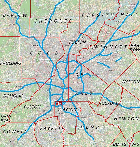
English: Metro Atlanta from Open Street Map |
| Date | |
| Soorce | Open street map |
| Author | Open street map |
Licensin
This file is licensed under the Creative Commons Attribution 2.5 Generic license.
- Ye are free:
- tae share – tae copy, distribute an transmit the wirk
- tae remix – tae adapt the wirk
- Unner the follaein condeetions:
- attribution – Ye must attribute the wirk in the manner specified bi the author or licensor (but nae in ony way that suggests that thay endorse ye or yer uise o the wirk).
File history
Clap oan ae date/time fer tae see the file aes it kithed at that time.
| Date/Time | Thummnail | Dimensions | Uiser | Comment | |
|---|---|---|---|---|---|
| current | 00:44, 18 Apryle 2011 | | 1,025 × 1,078 (385 KB) | Keizers | +county borders and airport |
| 17:22, 15 Apryle 2011 |  | 1,025 × 1,078 (571 KB) | Keizers | shows all counties now | |
| 17:38, 14 Apryle 2011 |  | 1,025 × 1,078 (548 KB) | Keizers | added thicker freeway lines and 3 key county names | |
| 15:16, 14 Apryle 2011 |  | 1,025 × 1,078 (362 KB) | Keizers | {{Information |Description ={{en|1=Metro Atlanta from Open Street Map}} |Source =Open street map |Author =Open street map |Date =2011-04-12 |Permission = |other_versions = }} Category:Atlanta maps |
Eimage airtins
The follaein pages airts tae this image:
Global file uisage
The follaein ither wikis uise this file:
- Uisage on ar.wikipedia.org
- Uisage on ban.wikipedia.org
- Uisage on bcl.wikipedia.org
- Uisage on bn.wikipedia.org
- Uisage on ceb.wikipedia.org
- Uisage on de.wikipedia.org
- Uisage on en.wikipedia.org
- Cobb County, Georgia
- Canton, Georgia
- Holly Springs, Georgia
- Woodstock, Georgia
- College Park, Georgia
- Forest Park, Georgia
- Jonesboro, Georgia
- Austell, Georgia
- Kennesaw, Georgia
- Mableton, Georgia
- Marietta, Georgia
- Vinings, Georgia
- Newnan, Georgia
- Avondale Estates, Georgia
- Belvedere Park, Georgia
- Candler-McAfee, Georgia
- Chamblee, Georgia
- Decatur, Georgia
- Doraville, Georgia
- Lithonia, Georgia
- Panthersville, Georgia
- Scottdale, Georgia
- Stone Mountain, Georgia
- Douglasville, Georgia
- Cumming, Georgia
- Alpharetta, Georgia
- East Point, Georgia
- Fairburn, Georgia
- Roswell, Georgia
- Sandy Springs, Georgia
- Buford, Georgia
- Lawrenceville, Georgia
- Loganville, Georgia
- Norcross, Georgia
- Rest Haven, Georgia
- Snellville, Georgia
- Suwanee, Georgia
- Stockbridge, Georgia
- Covington, Georgia
- Dallas, Georgia
- Hiram, Georgia
View mair global usage o this file.