File:Location map Aruba.png
Size o this luikower: 567 × 600 pixels. Ither resolutions: 227 × 240 pixels | 454 × 480 pixels | 913 × 966 pixels.
Oreeginal file (913 × 966 pixels, file size: 146 KB, MIME type: image/png)
| Descreeption |
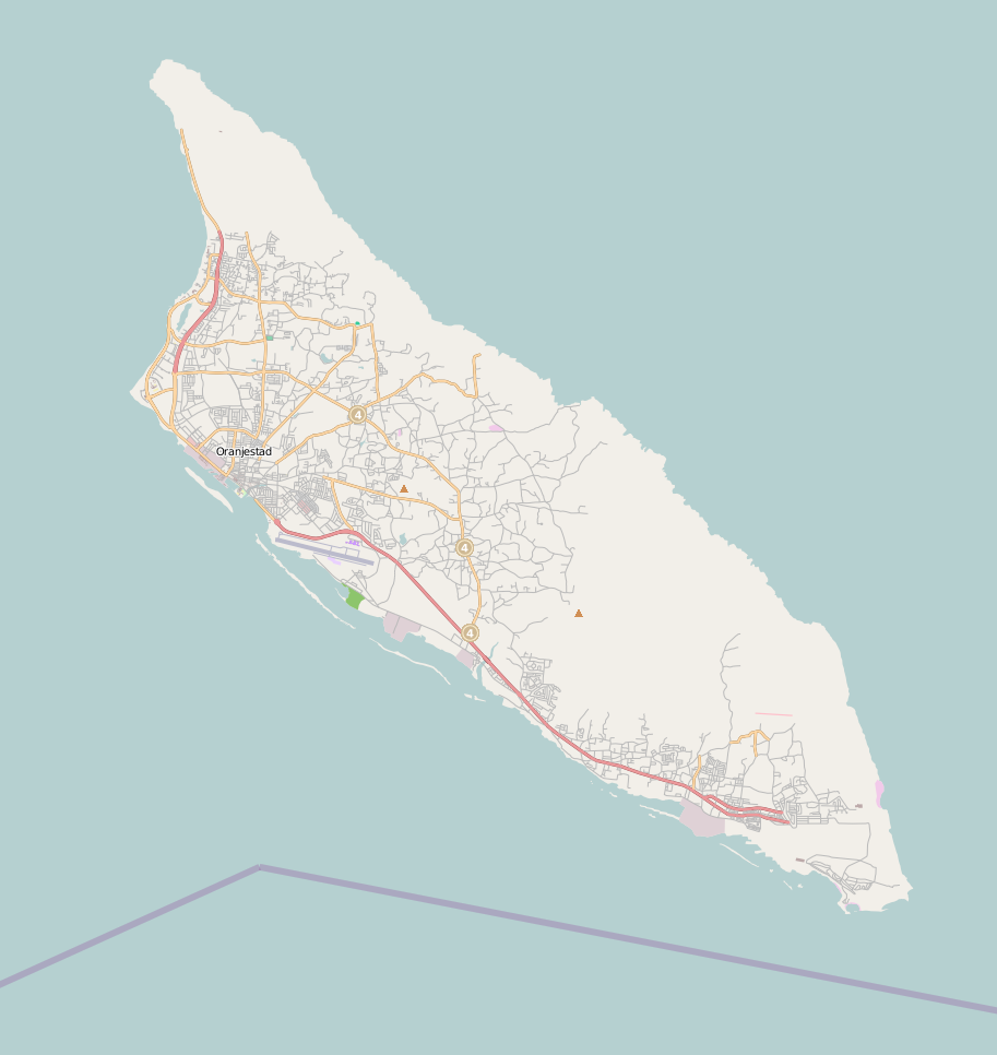
English: Map of Aruba
Geographic limits of the map:
This file is licensed under the Creative Commons Attribution-Share Alike 2.0 Generic license.
|
| Soorce | OpenStreetMap |
| Author | Dr. Blofeld |
File history
Clap oan ae date/time fer tae see the file aes it kithed at that time.
| Date/Time | Thummnail | Dimensions | Uiser | Comment | |
|---|---|---|---|---|---|
| current | 10:49, 15 September 2010 | | 913 × 966 (146 KB) | Blofeld Dr. | {{Information |Description={{en|1=f}} |Source=f |Author=f |Date=f |Permission= |other_versions= }} |
Eimage airtins
The follaein pages airts tae this image:
Global file uisage
The follaein ither wikis uise this file:
- Uisage on ar.wikipedia.org
- Uisage on bs.wikipedia.org
- Uisage on ceb.wikipedia.org
- Uisage on ckb.wikipedia.org
- Uisage on da.wikipedia.org
- Uisage on de.wikipedia.org
- Oranjestad (Aruba)
- Brouwerij Nacional Balashi
- Alto Vista Kapel
- San Nicolas (Aruba)
- Fontein Grot
- Natural Bridge (Aruba)
- Pos Chikito
- Landslaboratorium Aruba
- Malmok (Aruba)
- Horacio Oduber Hospitaal
- Savaneta
- Vorlage:Positionskarte Aruba 2
- Santa Cruz (Aruba)
- Tanki Leendert
- Piedra Plat
- Paradera (Aruba)
- Noord (Aruba)
- Wassersportstadion Aruba
- Don Elias Mansur Ballpark
- Beth Israel Synagogue (Aruba)
- Auditorio Cas di Cultura
- Rooi Frances
- Dos Playa
- Kong Fui Shopping Center
- Hotel Colombia
- Tanki Flip
- Museo Numismático Aruba
- De Oude Molen
- Palm Beach (Aruba)
- Bubali Bird Sanctuary
- Uisage on en.wikipedia.org
- Uisage on fa.wikipedia.org
- Uisage on hy.wikipedia.org
- Uisage on io.wikipedia.org
- Uisage on ka.wikipedia.org
View mair global usage o this file.