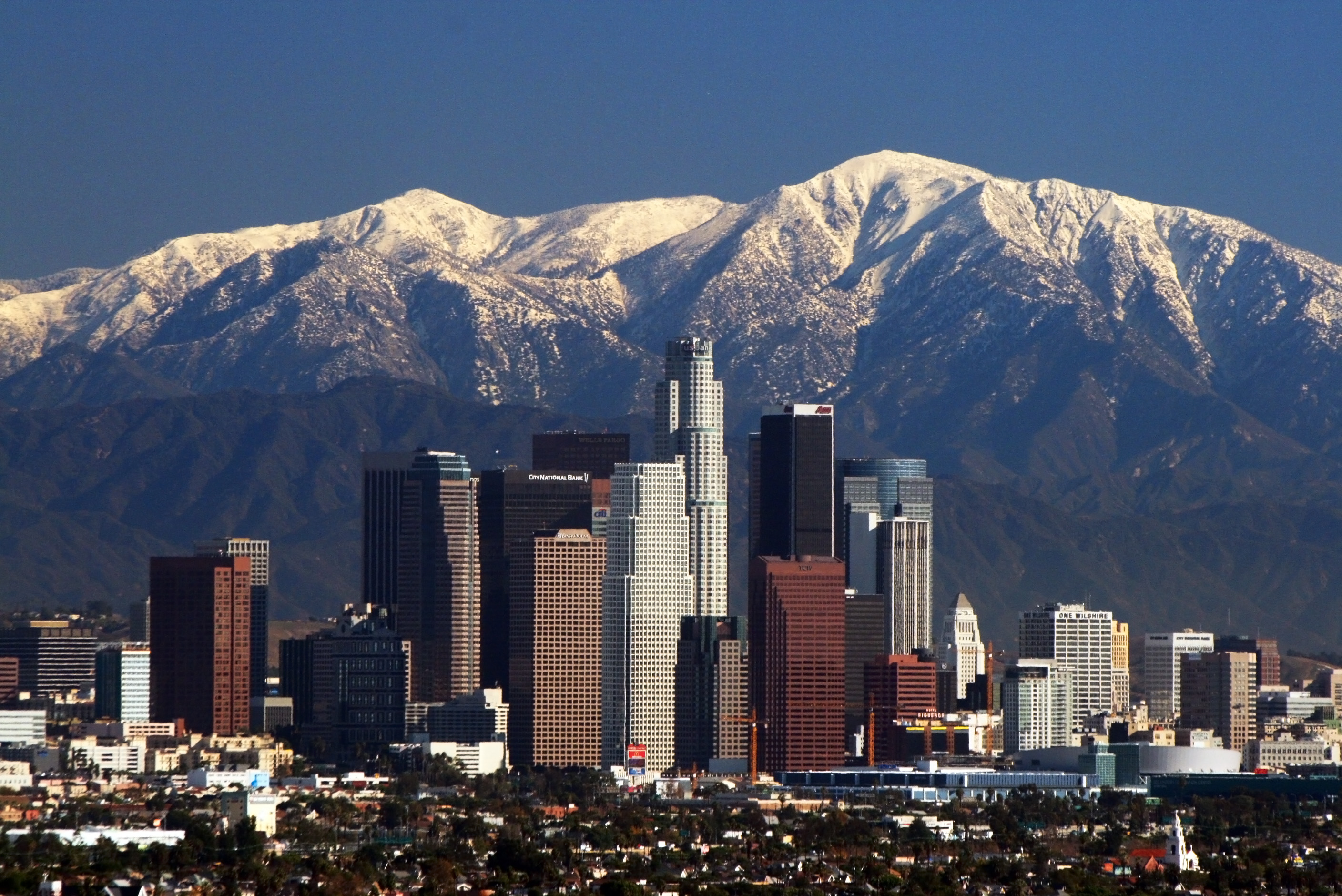
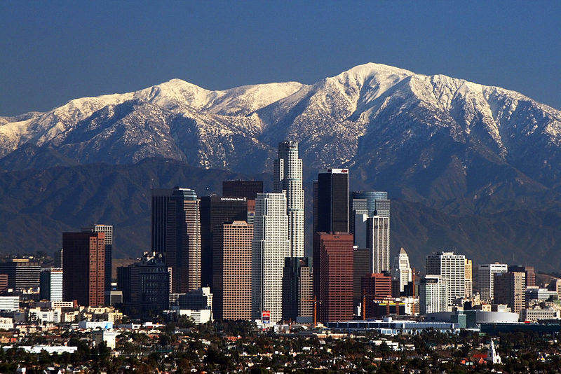
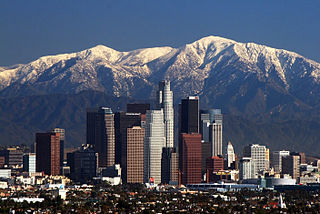
File:LA Skyline Mountains2.jpg
Size o this luikower: 800 × 534 pixels. Ither resolutions: 320 × 214 pixels | 640 × 427 pixels | 1,024 × 684 pixels | 1,280 × 855 pixels | 2,816 × 1,880 pixels.
Oreeginal file (2,816 × 1,880 pixels, file size: 1.44 MB, MIME type: image/jpeg)
Bnmh. Hiking. Cc. Yuuioik bbb unió.
Iioijkunm. Junior. Thigh hurting. Uuiiuoo. Ply. Vyi
Ootline
| Descreeption | |
| Date | |
| Soorce | Ain wirk |
| Author | Nserrano |
| Camera location | | View this and other nearby images on: OpenStreetMap |
|---|
Assessment

|
This image has been assessed under the valued image criteria and is considered the most valued image on Commons within the scope: Downtown Los Angeles. You can see its nomination here. |
Licensin
I, the copyright holder of this work, hereby publish it under the following licenses:
This file is licensed unner the Creative Commons Attribution-Share Alike 3.0 Unported license.
- Ye are free:
- tae share – tae copy, distribute an transmit the wirk
- tae remix – tae adapt the wirk
- Unner the follaein condeetions:
- attribution – Ye must attribute the wirk in the manner specified bi the author or licensor (but nae in ony way that suggests that thay endorse ye or yer uise o the wirk).
- share alik – If ye alter, transform, or big upon this wirk, ye mey distribute the resultin wirk anly unner the same or seemilar license tae this ane.

|
Permission is grantit tae copy, distribute an/or modify this document unner the terms o the GNU Free Documentation License, Version 1.2 or ony later version published bi the Free Software Foundation; wi no Invariant Sections, no Front-Cover Texts, an no Back-Cover Texts. A copy o the license is includit in the section enteetled GNU Free Documentation License. |
Ye mey select the license o yer choice.
| Annotations | This image is annotated: View the annotations at Commons |
File history
Clap oan ae date/time fer tae see the file aes it kithed at that time.
| Date/Time | Thummnail | Dimensions | Uiser | Comment | |
|---|---|---|---|---|---|
| current | 17:05, 9 Mey 2008 | | 2,816 × 1,880 (1.44 MB) | Nserrano |
Eimage airtins
The follaein pages airts tae this image:
Global file uisage
The follaein ither wikis uise this file:
- Uisage on af.wikipedia.org
- Uisage on am.wikipedia.org
- Uisage on ar.wikipedia.org
- Uisage on ast.wikipedia.org
- Uisage on as.wikipedia.org
- Uisage on az.wikipedia.org
- Uisage on ba.wikipedia.org
- Uisage on be.wikipedia.org
- Uisage on bg.wikipedia.org
- Uisage on bh.wikipedia.org
- Uisage on bn.wikipedia.org
- Uisage on bs.wikipedia.org
- Uisage on bxr.wikipedia.org
- Uisage on ca.wikipedia.org
- Uisage on ckb.wikipedia.org
- Uisage on cs.wikipedia.org
- Uisage on de.wikipedia.org
- Uisage on dsb.wikipedia.org
- Uisage on el.wikipedia.org
- Uisage on en.wikipedia.org
View mair global usage o this file.