File:Kazakhstan location map.svg

Oreeginal file (SVG file, nominallie 1,984 × 1,134 pixels, file size: 634 KB)
Ootline
| Descreeption |
Deutsch: Positionskarte von Kasachstan
Quadratische Plattkarte, N-S-Streckung 150 %. Geographische Begrenzung der Karte:
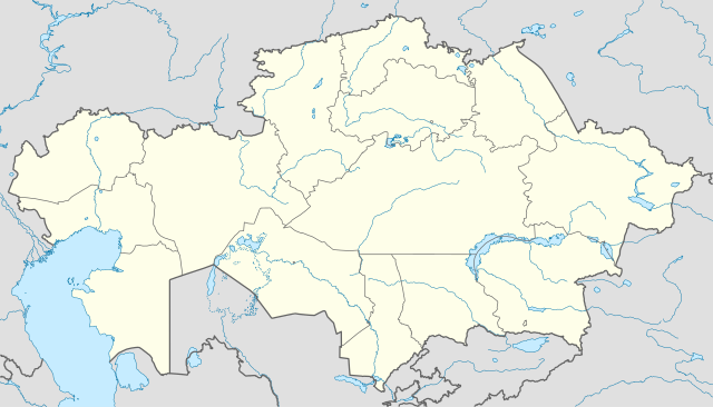
English: Location map of Kazakhstan
Equirectangular projection, N/S stretching 150 %. Geographic limits of the map:
|
|
| Date | ||
| Soorce |
Ain wirk, using
|
|
| Author | NordNordWest | |
| Permission (Reuisin this file) |
This file is licensed under the Creative Commons Attribution-Share Alike 3.0 Germany license.
 This file is licensed under the Creative Commons Attribution-Share Alike 3.0 Germany license.
|


|
This map has been made or improved in the German Kartenwerkstatt (Map Lab). You can propose maps to improve as well.
|
File history
Clap oan ae date/time fer tae see the file aes it kithed at that time.
| Date/Time | Thummnail | Dimensions | Uiser | Comment | |
|---|---|---|---|---|---|
| current | 18:48, 1 August 2010 | | 1,984 × 1,134 (634 KB) | NordNordWest | upd |
| 19:15, 27 November 2009 |  | 1,985 × 1,134 (949 KB) | NordNordWest | c | |
| 12:42, 24 November 2009 |  | 1,984 × 1,134 (942 KB) | NordNordWest | c | |
| 12:38, 24 November 2009 |  | 1,985 × 1,134 (941 KB) | NordNordWest | ||
| 18:41, 23 November 2009 |  | 1,985 × 1,134 (516 KB) | NordNordWest | =={{int:filedesc}}== {{Information |Description= {{de|Positionskarte von Kasachstan, '''Vorversion'''}} Quadratische Plattkarte, N-S-Streckung 150 %. Geographische Begrenzung der Karte: * N: 56° N * S: 40° N * W: 46° O * O: 88° O {{ |
Eimage airtins
The'r nae pages airts tae this eimage.
Global file uisage
The follaein ither wikis uise this file:
- Uisage on av.wikipedia.org
- Uisage on bg.wikinews.org
- Uisage on de.wikipedia.org
- Uisage on es.wikipedia.org
- Uisage on fr.wikipedia.org
- Uisage on incubator.wikimedia.org
- Uisage on kaa.wikipedia.org
- Uisage on lv.wikipedia.org
- Uisage on mt.wikipedia.org
- Uisage on pt.wikipedia.org
- Uisage on rue.wikipedia.org
- Uisage on ru.wikipedia.org
- Uisage on sk.wikipedia.org