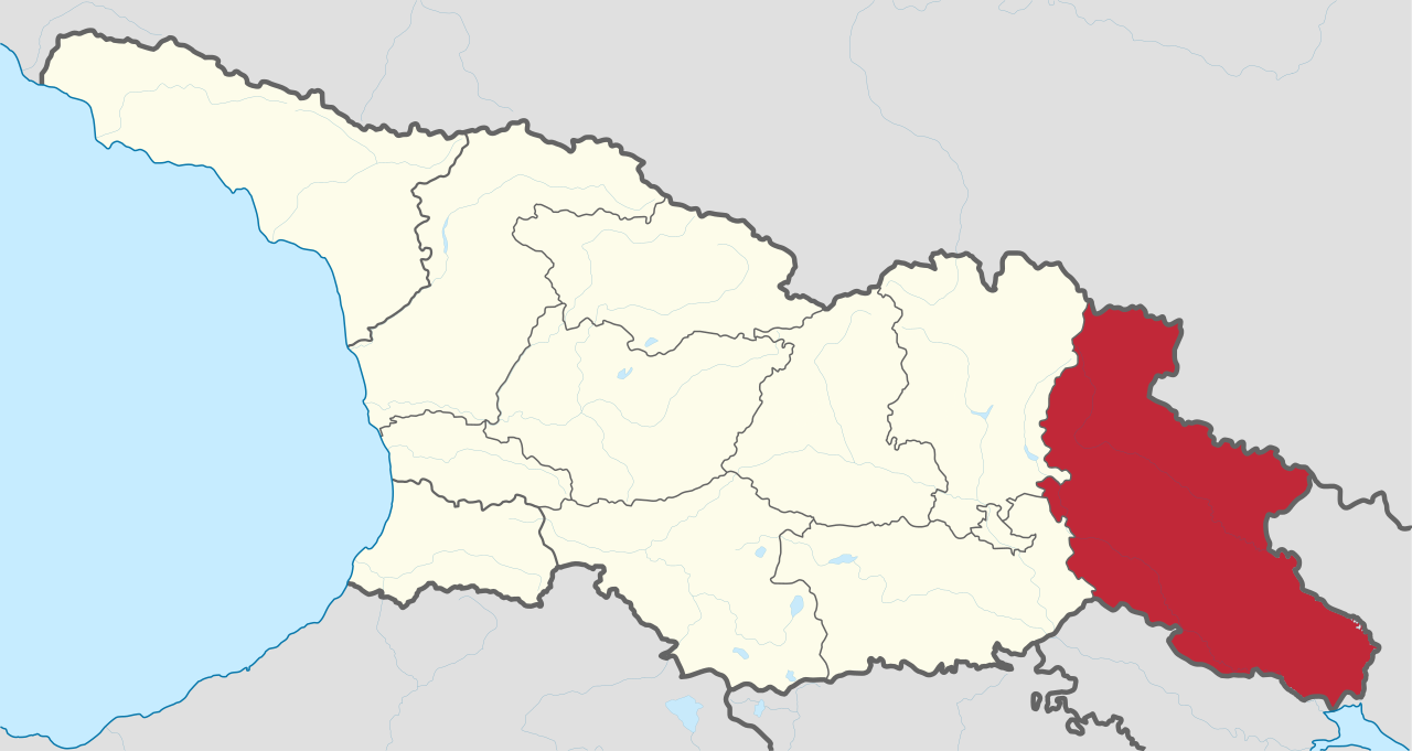
File:Kakheti in Georgia (Georgian view).svg

Size of this PNG preview of this SVG file: 800 × 426 pixels. Ither resolutions: 320 × 170 pixels | 640 × 341 pixels | 1,024 × 545 pixels | 1,280 × 681 pixels | 2,560 × 1,363 pixels | 1,715 × 913 pixels.
Oreeginal file (SVG file, nominallie 1,715 × 913 pixels, file size: 552 KB)
Ootline
.svg)
.svg)
.svg)
.svg)
.svg)
.svg)
.svg)

-en.svg)

.svg)
.svg)
.svg)

_(US48).svg)
_(small_islands_magnified)_(-mini_map_-rivers).svg)
.svg)
_(extra_close)_(US48).svg)
.svg)
_(zoom).svg)

.svg)


_(UNMIK).svg)
.svg)
_(disputed_hatched).svg)
_(claimed_and_disputed_hatched).svg)
.svg)
.svg)
_(%2Ball_claims_hatched).svg)

.svg)
_(shade).svg)
_(shade)_(special_marker).svg)
_(-mini_map).svg)
_(-mini_map).svg)
_(-mini_map).svg)


.svg)

.svg)
.svg)
Licensin
I, the copyright holder of this work, hereby publish it under the following license:
This file is licensed unner the Creative Commons Attribution-Share Alike 3.0 Unported license.
- Ye are free:
- tae share – tae copy, distribute an transmit the wirk
- tae remix – tae adapt the wirk
- Unner the follaein condeetions:
- attribution – Ye must attribute the wirk in the manner specified bi the author or licensor (but nae in ony way that suggests that thay endorse ye or yer uise o the wirk).
- share alik – If ye alter, transform, or big upon this wirk, ye mey distribute the resultin wirk anly unner the same or seemilar license tae this ane.

|
I'd greatly appreciate, that you attribute this media file to Wikimedia Commons, if used outside Wikipedia or Commons. For use in publications such as books, newspapers, blogs, websites, please insert here the following line:
|
.svg&action=edit&redlink=1)
File history
Clap oan ae date/time fer tae see the file aes it kithed at that time.
| Date/Time | Thummnail | Dimensions | Uiser | Comment | |
|---|---|---|---|---|---|
| current | 11:18, 12 October 2020 | | 1,715 × 913 (552 KB) | TUBS | Reverted to version as of 07:05, 7 October 2020 (UTC) We have discussed that (cf. my user talk page): I don't have enough evidence that your map is correct (maybe it is though). Don't start an edit war: Please reupload your maps with a different name and try to exchange my maps with your maps in the respective WP articles. That's better anyway so that editors in their respective WP don't fell bypassed. |
| 17:48, 11 October 2020 |  | 1,715 × 913 (373 KB) | გიო ოქრო | Reverted to version as of 20:35, 6 October 2020 (UTC) | |
| 07:05, 7 October 2020 |  | 1,715 × 913 (552 KB) | TUBS | that's the georgian view. Georgia certainly doesn't acknowledge the borders of split-off rgegions, does it? | |
| 20:35, 6 October 2020 |  | 1,715 × 913 (373 KB) | გიო ოქრო | borders changed | |
| 10:32, 7 August 2011 |  | 1,715 × 913 (552 KB) | TUBS |
Eimage airtins
The follaein pages airts tae this image:
Global file uisage
The follaein ither wikis uise this file:
- Uisage on av.wikipedia.org
- Uisage on bg.wikipedia.org
- Uisage on ceb.wikipedia.org
- Uisage on de.wikipedia.org
- Uisage on de.wikivoyage.org
- Uisage on en.wikipedia.org
- Uisage on et.wikipedia.org
- Uisage on eu.wikipedia.org
- Uisage on fa.wikipedia.org
- Uisage on frr.wikipedia.org
- Uisage on he.wikipedia.org
- Uisage on hr.wikipedia.org
- Uisage on hy.wikipedia.org
- Uisage on id.wikipedia.org
- Uisage on incubator.wikimedia.org
- Uisage on ja.wikipedia.org
- Uisage on lt.wikipedia.org
- Uisage on lv.wikipedia.org
- Uisage on ml.wikipedia.org
- Uisage on nn.wikipedia.org
- Uisage on no.wikipedia.org
- Uisage on simple.wikipedia.org
- Uisage on sl.wikipedia.org
- Uisage on sr.wikipedia.org
- Uisage on ur.wikipedia.org
- Uisage on vi.wikipedia.org
- Uisage on zh.wikipedia.org
.svg)