File:Indian Ocean laea location map.svg

Size of this PNG preview of this SVG file: 638 × 599 pixels. Ither resolutions: 256 × 240 pixels | 511 × 480 pixels | 818 × 768 pixels | 1,090 × 1,024 pixels | 2,180 × 2,048 pixels | 709 × 666 pixels.
Oreeginal file (SVG file, nominallie 709 × 666 pixels, file size: 168 KB)
Ootline
| Descreeption |
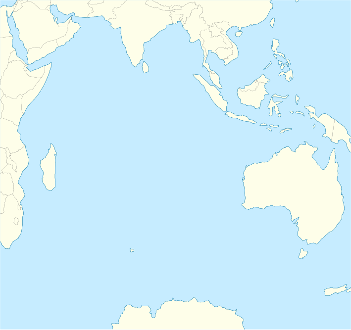
English: Location map of the Indian Ocean.
|
| Date | |
| Soorce | Ain wirk |
| Author | Tentotwo |
Shell script for generating the map using GMT archive copy at the Wayback Machine
#!/bin/sh

# Set common options
PROJECTION=A90.0/-20.0/180/19.998266666666666c
REGION=-12.856058461183775/-43.848273739920856/151.50519408595028/33.22162400070504r
FILENAME=Indian_Ocean_laea_location_map.ps

# Get Natural Earth datafiles
echo "Downloading datafiles from naturalearthdata.com"
wget -nv -nc \
 http://www.naturalearthdata.com/http//www.naturalearthdata.com/download/110m/physical/110m-coastline.zip\
 http://www.naturalearthdata.com/http//www.naturalearthdata.com/download/110m/physical/110m-land.zip\
 http://www.naturalearthdata.com/http//www.naturalearthdata.com/download/110m/cultural/110m-admin-0-boundary-lines.zip
echo "...done\n"

echo "Inflating archives"
unzip 110m\*.zip
echo "...done\n"

echo "Converting shapefiles to GMT"
ogr2ogr -F GMT 110m_land.gmt 110m_land.shp
ogr2ogr -F GMT 110m_coastline.gmt 110m_coastline.shp
ogr2ogr -F GMT 50m_borders.gmt ne_50m_admin_0_boundary_lines_land.shp
echo "...done\n"

echo "Creating maps"
GMT psxy -m -J$PROJECTION -R$REGION --PAGE_COLOR=198/236/255  --POLAR_CAP=none --PAPER_MEDIA=A3  --BASEMAP_TYPE=plain --BASEMAP_AXES=NESW --FRAME_PEN=0.15p,black 110m_land.gmt -K -G254/254/233 > $FILENAME
GMT psxy -m -J$PROJECTION -R$REGION 110m_coastline.gmt -O -K -W0.535p,9/120/171  >> $FILENAME
GMT psxy -m -J$PROJECTION -R$REGION 50m_borders.gmt -O -W100/100/100  >> $FILENAME
echo "...done\n"

echo "You can now open $FILENAME in Inkscape to clean up the file and save it as SVG. You should add an ocean coloured background and simplify the graticules using CTRL+L."

gv $FILENAME
Licensin
I, the copyright holder of this work, hereby publish it under the following license:
This file is licensed unner the Creative Commons Attribution-Share Alike 3.0 Unported license.
- Ye are free:
- tae share – tae copy, distribute an transmit the wirk
- tae remix – tae adapt the wirk
- Unner the follaein condeetions:
- attribution – Ye must attribute the wirk in the manner specified bi the author or licensor (but nae in ony way that suggests that thay endorse ye or yer uise o the wirk).
- share alik – If ye alter, transform, or big upon this wirk, ye mey distribute the resultin wirk anly unner the same or seemilar license tae this ane.
File history
Clap oan ae date/time fer tae see the file aes it kithed at that time.
| Date/Time | Thummnail | Dimensions | Uiser | Comment | |
|---|---|---|---|---|---|
| current | 10:02, 1 Februar 2012 | | 709 × 666 (168 KB) | Tentotwo |
Eimage airtins
The follaein pages airts tae this image:
Global file uisage
The follaein ither wikis uise this file:
- Uisage on af.wikipedia.org
- Uisage on als.wikipedia.org
- Uisage on an.wikipedia.org
- Uisage on ar.wikipedia.org
- Uisage on ast.wikipedia.org
- Islles Agalega
- Islla Marión
- Islles Glorioses
- Islla de la Posesión
- Islla Yeye
- Islles Esvalixaes del Océanu Índicu
- Flying Fish Cove
- Islla Oeste
- Islles Ḥeard y McDonald
- Mar de les Laquedives
- Islles Mascareñes
- San Denís (Reunión)
- Islles Crozet
- Islla Saint-Paul
- Islla Ámsterdam
- Bassas da India
- Archipiélagu de Chagos
- Islla Christmas
- Aeropuertu Sir Gaëtan Duval
- Aeropuertu d'Islla Christmas
- Aeropuertu de les Islles Cocos (Keeling)
- Módulu:Mapa de llocalización/datos/Océanu Índicu/usu
- Módulu:Mapa de llocalización/datos/Océanu Índicu
- Uisage on az.wikipedia.org
- Uisage on ban.wikipedia.org
- Uisage on ba.wikipedia.org
- Uisage on bg.wikipedia.org
- Uisage on bh.wikipedia.org
- Uisage on ceb.wikipedia.org
View mair global usage o this file.