File:India Punjab location map.svg

Oreeginal file (SVG file, nominallie 979 × 1,086 pixels, file size: 311 KB)
Ootline
| Descreeption |
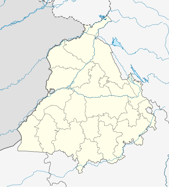
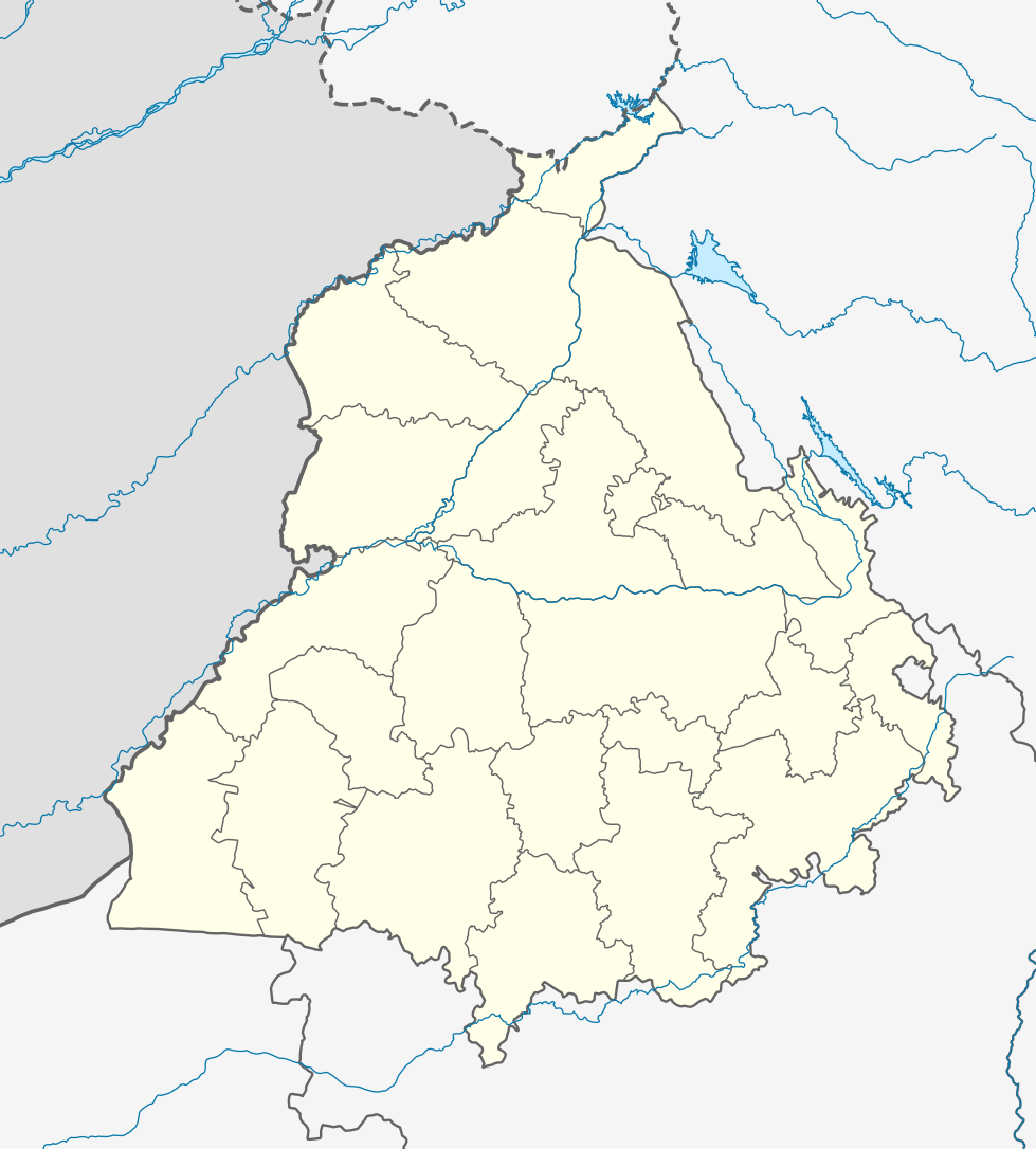
Quadratische Plattkarte, N-S-Streckung 117 %. Geographische Begrenzung der Karte:
Equirectangular projection, N/S stretching 117 %. Geographic limits of the map:
|
|
| Date | ||
| Soorce |
Ain wirk, using
|
|
| Author | NordNordWest | |
| Permission (Reuisin this file) |
This file is licensed under the Creative Commons Attribution-Share Alike 3.0 Germany license.
 This file is licensed under the Creative Commons Attribution-Share Alike 3.0 Germany license.
|


|
This map has been made or improved in the German Kartenwerkstatt (Map Lab). You can propose maps to improve as well.
|
File history
Clap oan ae date/time fer tae see the file aes it kithed at that time.
| Date/Time | Thummnail | Dimensions | Uiser | Comment | |
|---|---|---|---|---|---|
| current | 04:19, 19 August 2022 | | 979 × 1,086 (311 KB) | C1MM | Fixed Ludhiana district |
| 04:03, 19 August 2022 |  | 979 × 1,086 (312 KB) | C1MM | Resized to original size | |
| 03:57, 19 August 2022 |  | 951 × 898 (324 KB) | C1MM | Added Malerkotla district, fixed rivers and disputed boundaries for Jammu and Kashmir | |
| 03:23, 15 Januar 2021 |  | 1,049 × 1,161 (114 KB) | C1MM | Added Tan Taran district | |
| 18:11, 24 October 2020 |  | 1,049 × 1,161 (110 KB) | C1MM | Updated districts | |
| 17:41, 4 Mey 2012 |  | 1,049 × 1,161 (107 KB) | NordNordWest | upd | |
| 20:24, 19 Mey 2010 |  | 1,049 × 1,161 (104 KB) | NordNordWest | c | |
| 20:11, 19 Mey 2010 |  | 1,049 × 1,161 (105 KB) | NordNordWest | =={{int:filedesc}}== {{Information |Description= {{de|Positionskarte von Punjab, Indien}} Quadratische Plattkarte, N-S-Streckung 117 %. Geographische Begrenzung der Karte: * N: 32.8° N * S: 29.3° N * W: 73.5° O * |
Eimage airtins
The follaein pages airts tae this image:
Global file uisage
The follaein ither wikis uise this file:
- Uisage on ar.wikipedia.org
- Uisage on as.wikipedia.org
- Uisage on azb.wikipedia.org
- علیپور-۲
- علیپور-۱
- علی چاک
- علادینپور
- علیخل، جالاندر
- فول ماکاوری
- فیالی (هیندوستان)
- فاروالا, جالاندهار
- فارالا
- فانقوتا
- فامبرا
- فالپوتا
- ساروپوال
- ساروپوال, سولطانپور لودهی
- سارتی, قورداسپور
- سارنانا
- سارینه, لودهیانا
- سارینه, جالاندهار
- سارهالی
- سارهالی, جالاندهار
- سارهال کازیان
- سارهال موندی
- سارقوندی
- سارانقوال
- سارانقرا
- سارای خاس
- سارای خام
- سارای جاتان
- ساپرور
- مدا, پنجاب
- مازاری, اسبیاس ناقار
- مازارا ناو آباد
- مازارا خورد
- مازارا کالان
- سانورا
- ماوای, جالاندهار
- ماولی, فاقوارا
- ماوجیا
- ماو, پنجاب
- ماتوی, پنجاب
- سانقرای
- سانقرا, سولطانپور لودهی
- سانقووال
- سانقوجلا
- سانقول
- سانقرا (کند)
View mair global usage o this file.