File:India Nagaland location map.svg

Size of this PNG preview of this SVG file: 649 × 599 pixels. Ither resolutions: 260 × 240 pixels | 520 × 480 pixels | 832 × 768 pixels | 1,109 × 1,024 pixels | 2,218 × 2,048 pixels | 889 × 821 pixels.
Oreeginal file (SVG file, nominallie 889 × 821 pixels, file size: 192 KB)
Ootline
| Descreeption |
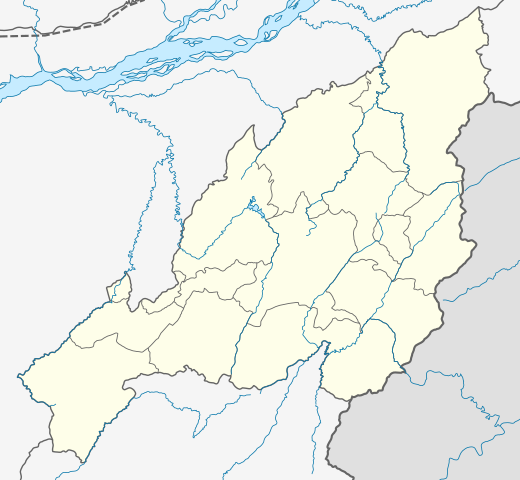
Location map of Nagaland Geographic limits of the map:
|
| Date | |
| Soorce | |
| Author |
|
| Other versions |
|

Licensin
I, the copyright holder of this work, hereby publish it under the following license:
This file is licensed unner the Creative Commons Attribution-Share Alike 3.0 Unported license.
- Ye are free:
- tae share – tae copy, distribute an transmit the wirk
- tae remix – tae adapt the wirk
- Unner the follaein condeetions:
- attribution – Ye must attribute the wirk in the manner specified bi the author or licensor (but nae in ony way that suggests that thay endorse ye or yer uise o the wirk).
- share alik – If ye alter, transform, or big upon this wirk, ye mey distribute the resultin wirk anly unner the same or seemilar license tae this ane.
File history
Clap oan ae date/time fer tae see the file aes it kithed at that time.
| Date/Time | Thummnail | Dimensions | Uiser | Comment | |
|---|---|---|---|---|---|
| current | 04:14, 17 Apryle 2022 | | 889 × 821 (192 KB) | C1MM | Added four new districts |
| 05:02, 21 Mey 2021 |  | 889 × 821 (267 KB) | C1MM | Fixed borders and rivers, changed line weight | |
| 06:45, 23 Februar 2021 |  | 731 × 675 (187 KB) | C1MM | Fixed borders of districts and rivers | |
| 00:44, 13 Apryle 2020 |  | 646 × 669 (88 KB) | C1MM | Updated districts | |
| 18:13, 6 Julie 2014 |  | 646 × 669 (87 KB) | Milenioscuro | User created page with UploadWizard |
Eimage airtins
The follaein pages airts tae this image:
Global file uisage
The follaein ither wikis uise this file:
- Uisage on azb.wikipedia.org
- Uisage on bh.wikipedia.org
- Uisage on bn.wikipedia.org
- Uisage on de.wikipedia.org
- Uisage on en.wikipedia.org
View mair global usage o this file.